Today was 10 miles and 1,000′ of climbing. Totals are 105 miles hiked and 4,400′ of climbing.
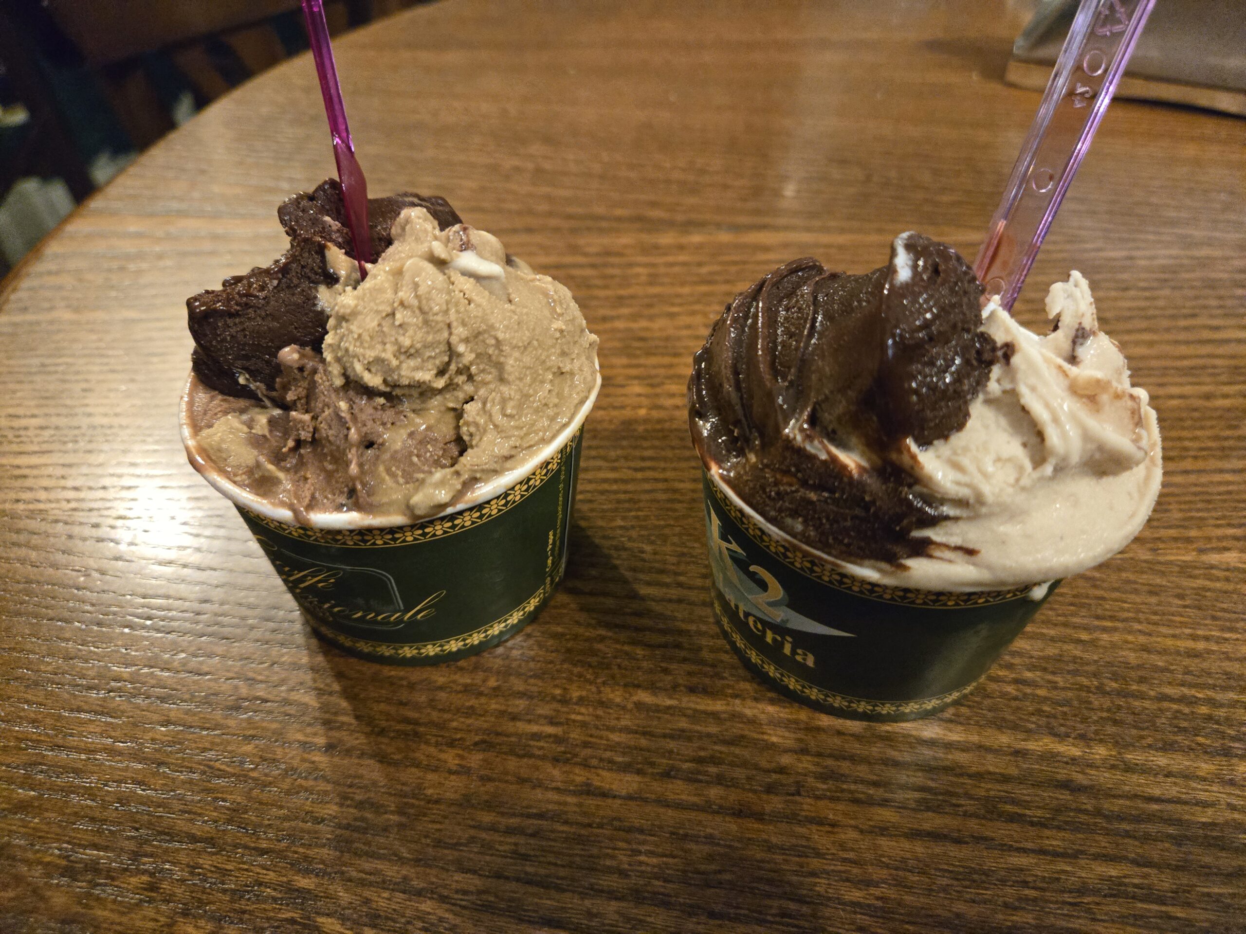
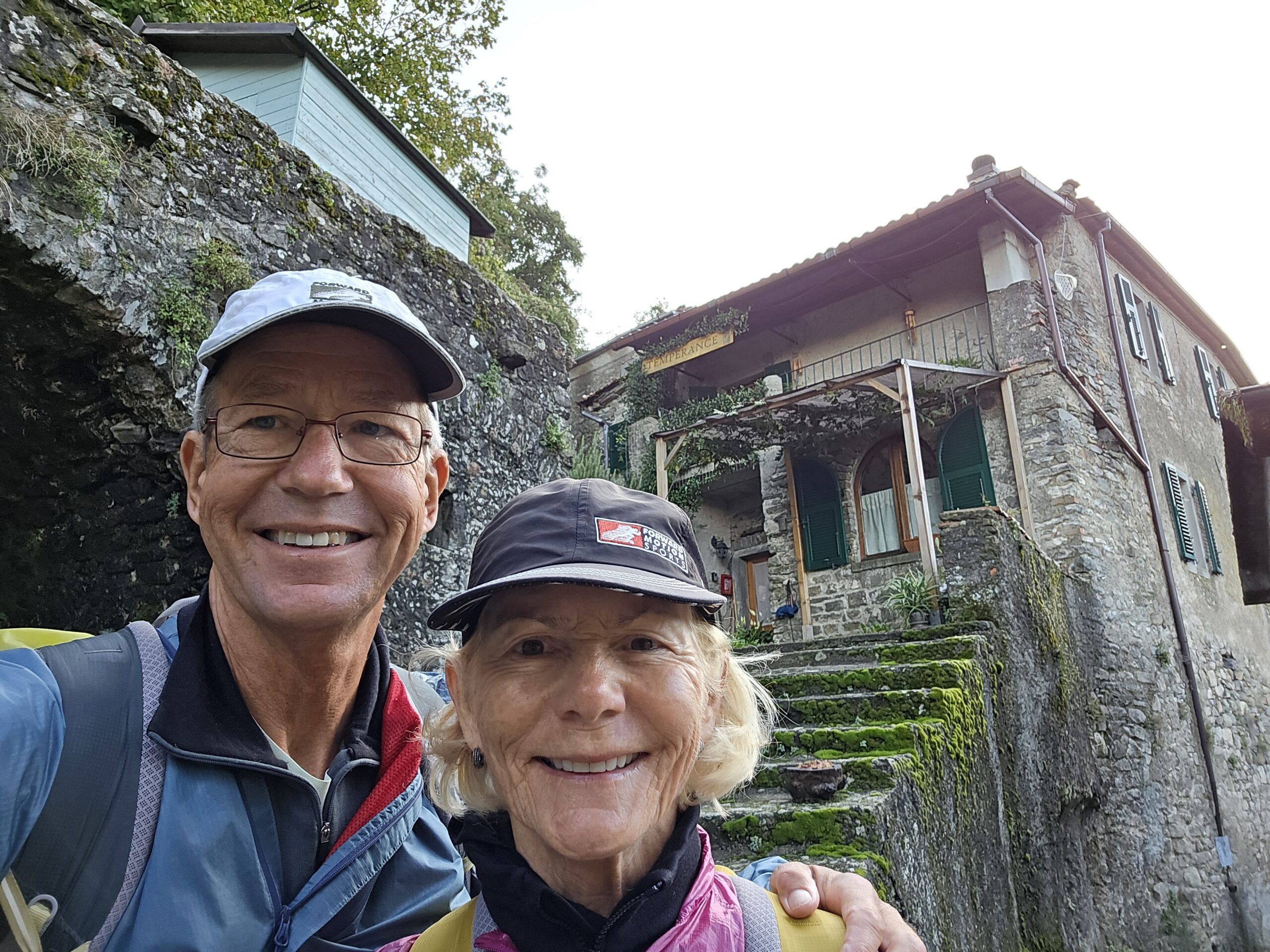
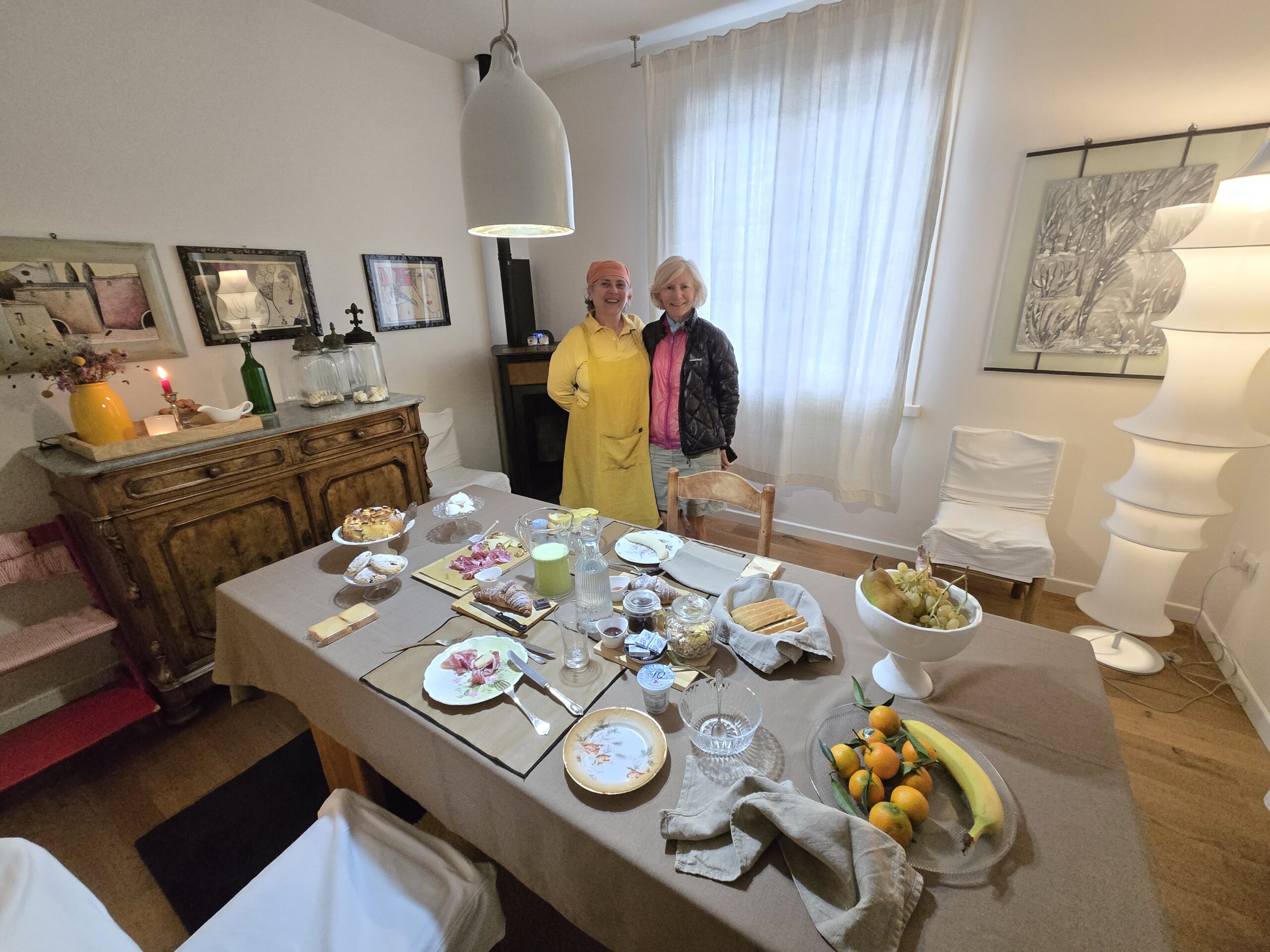
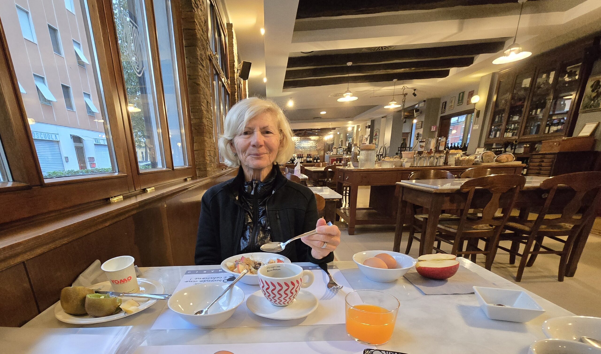
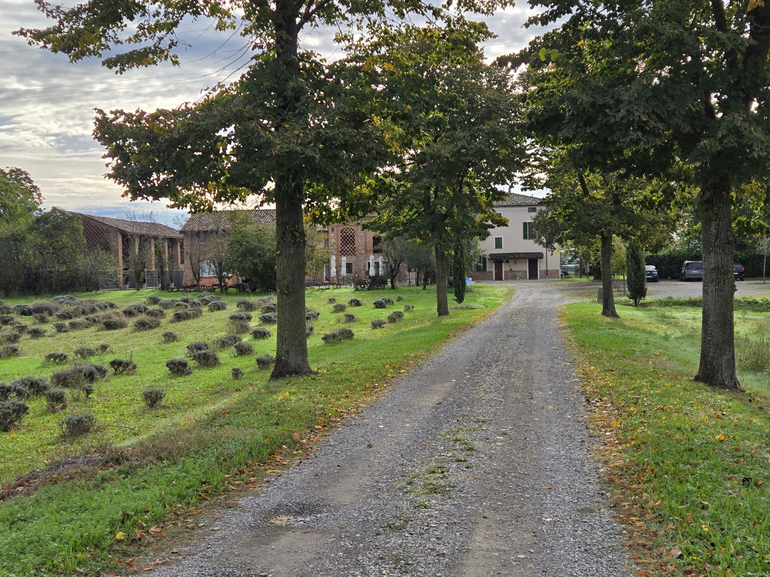
Sometimes, you score! After hours of hiking in the rain, we arrived at our stay last night to a beautiful fireplace and equally warm hosts!
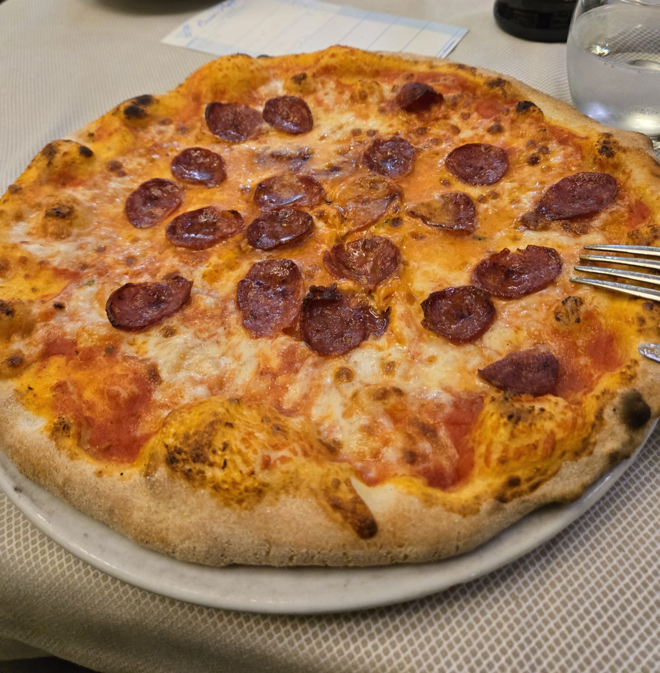
This morning, they topped even that! The breakfast spread could have fed an army, but was only for our army of two!

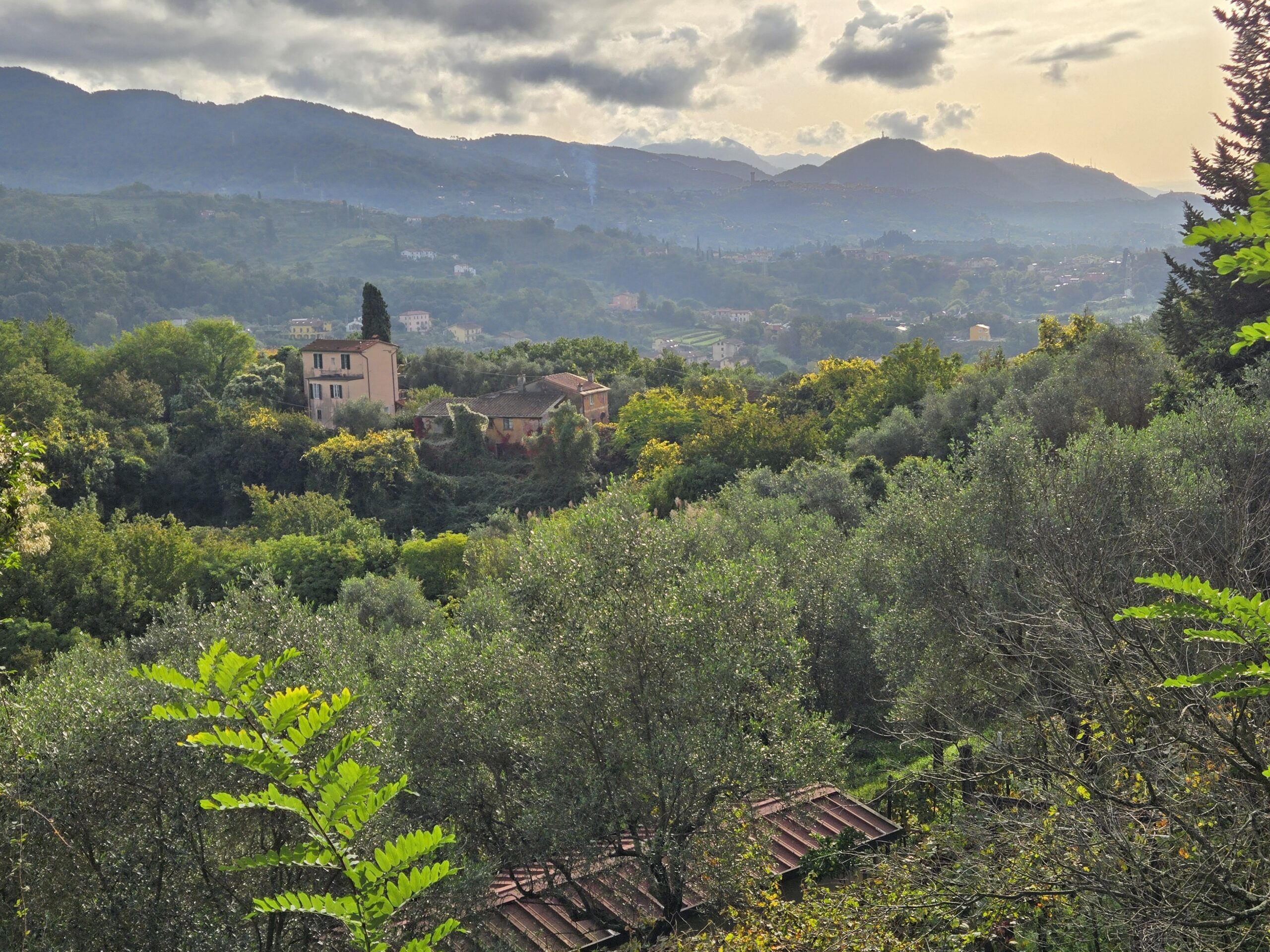
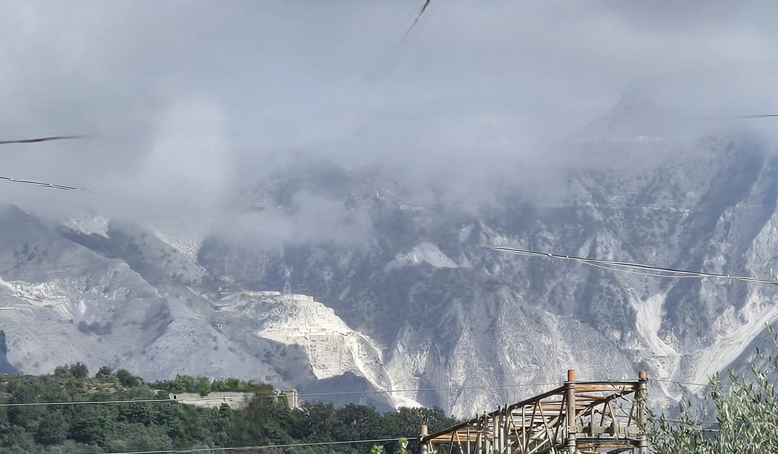
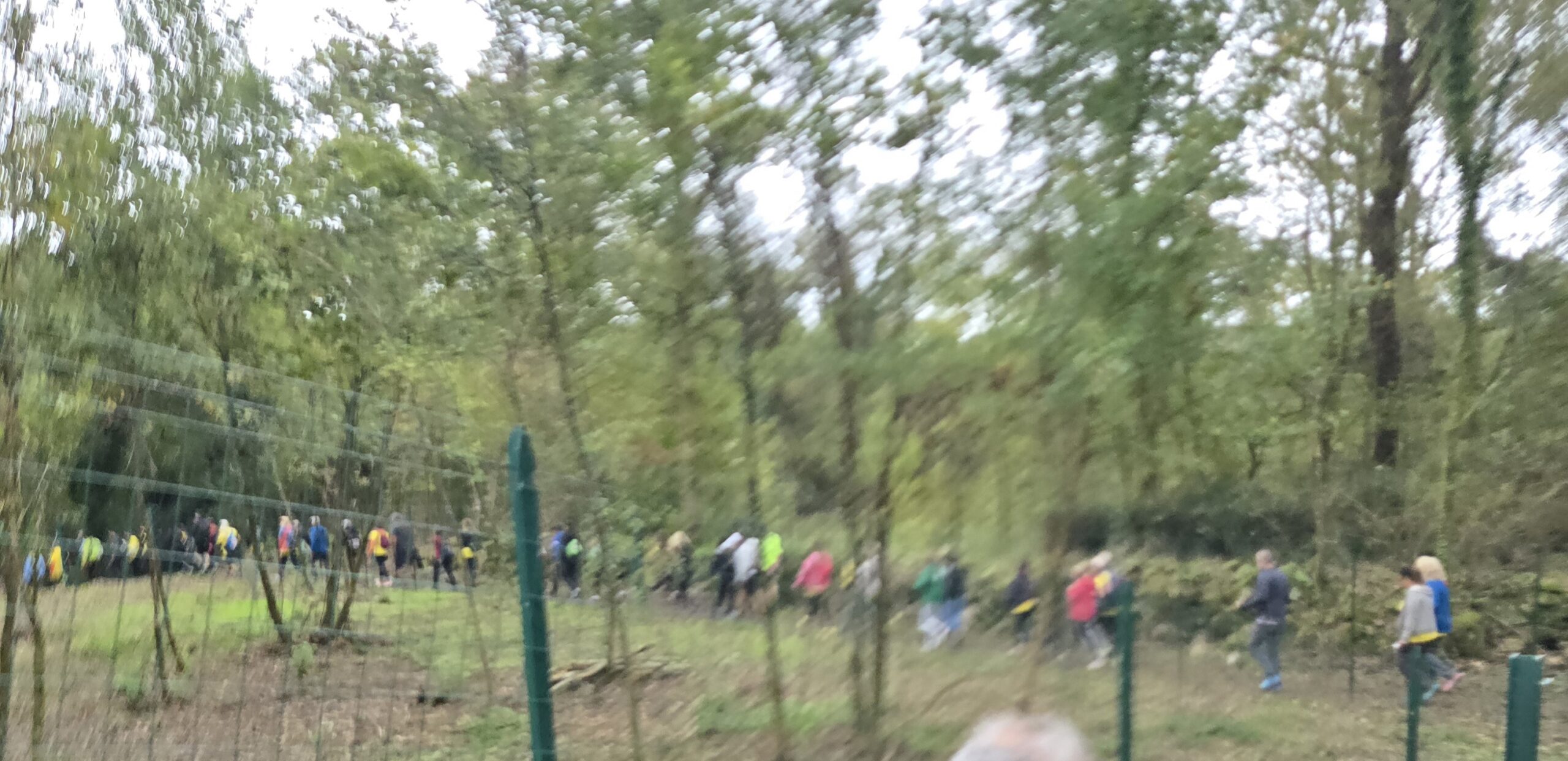
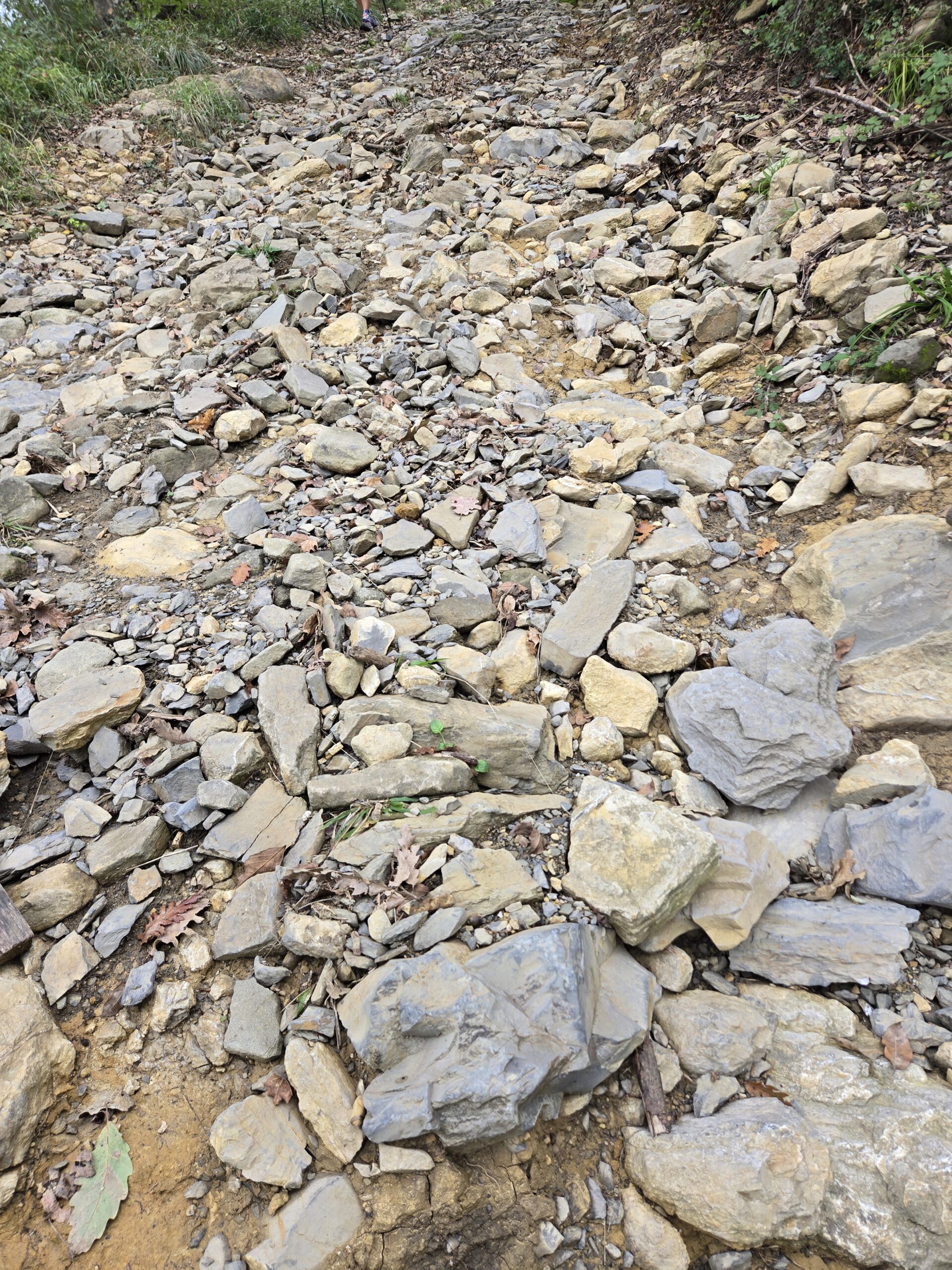
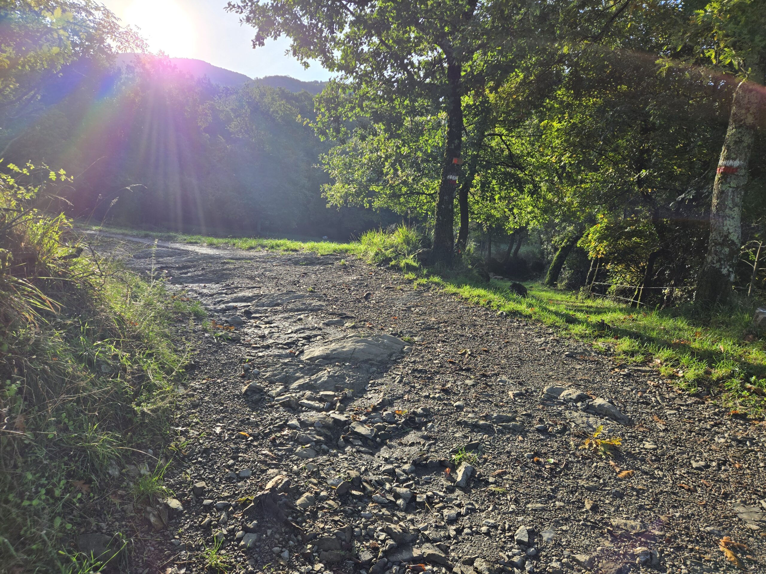
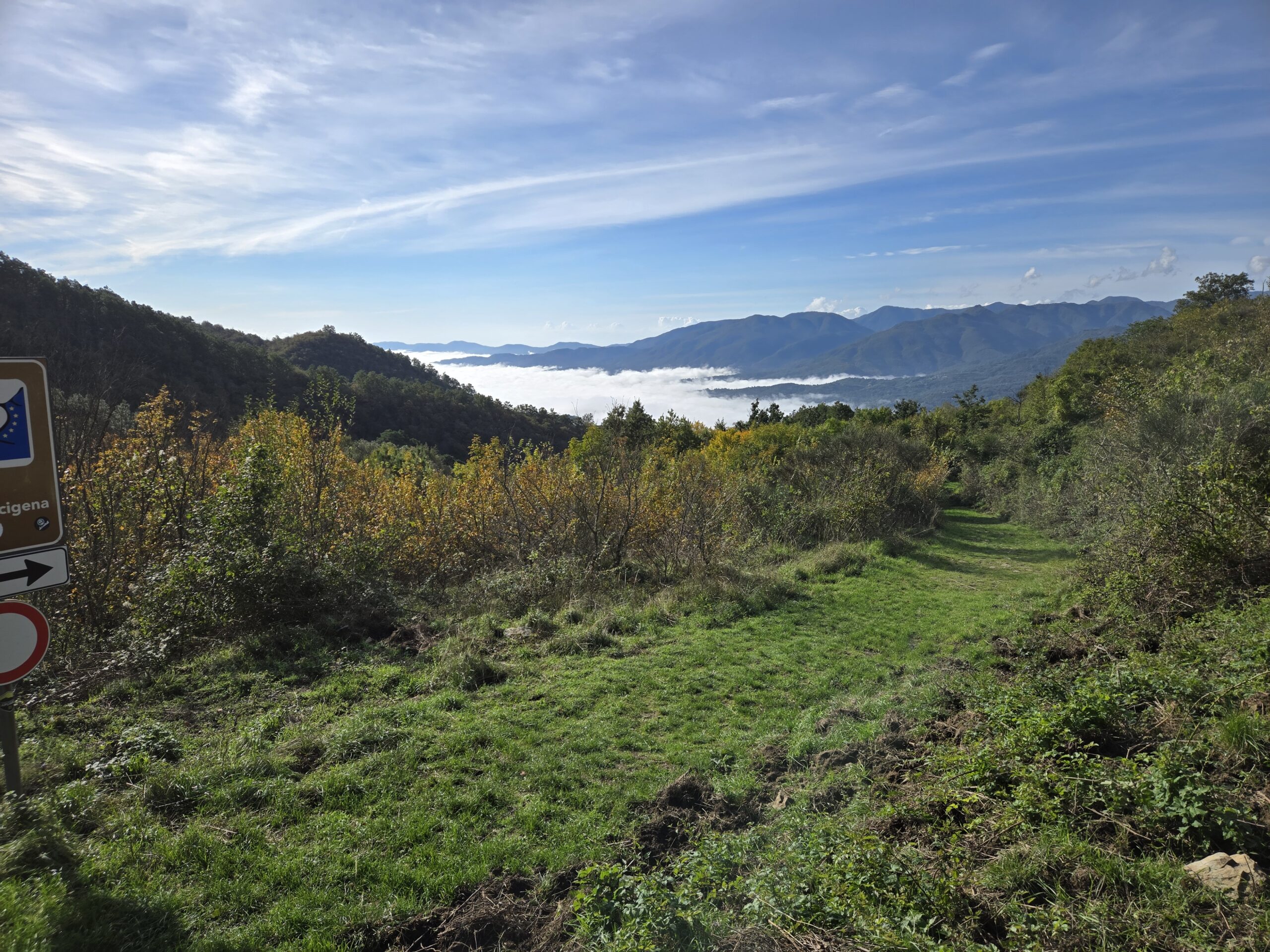
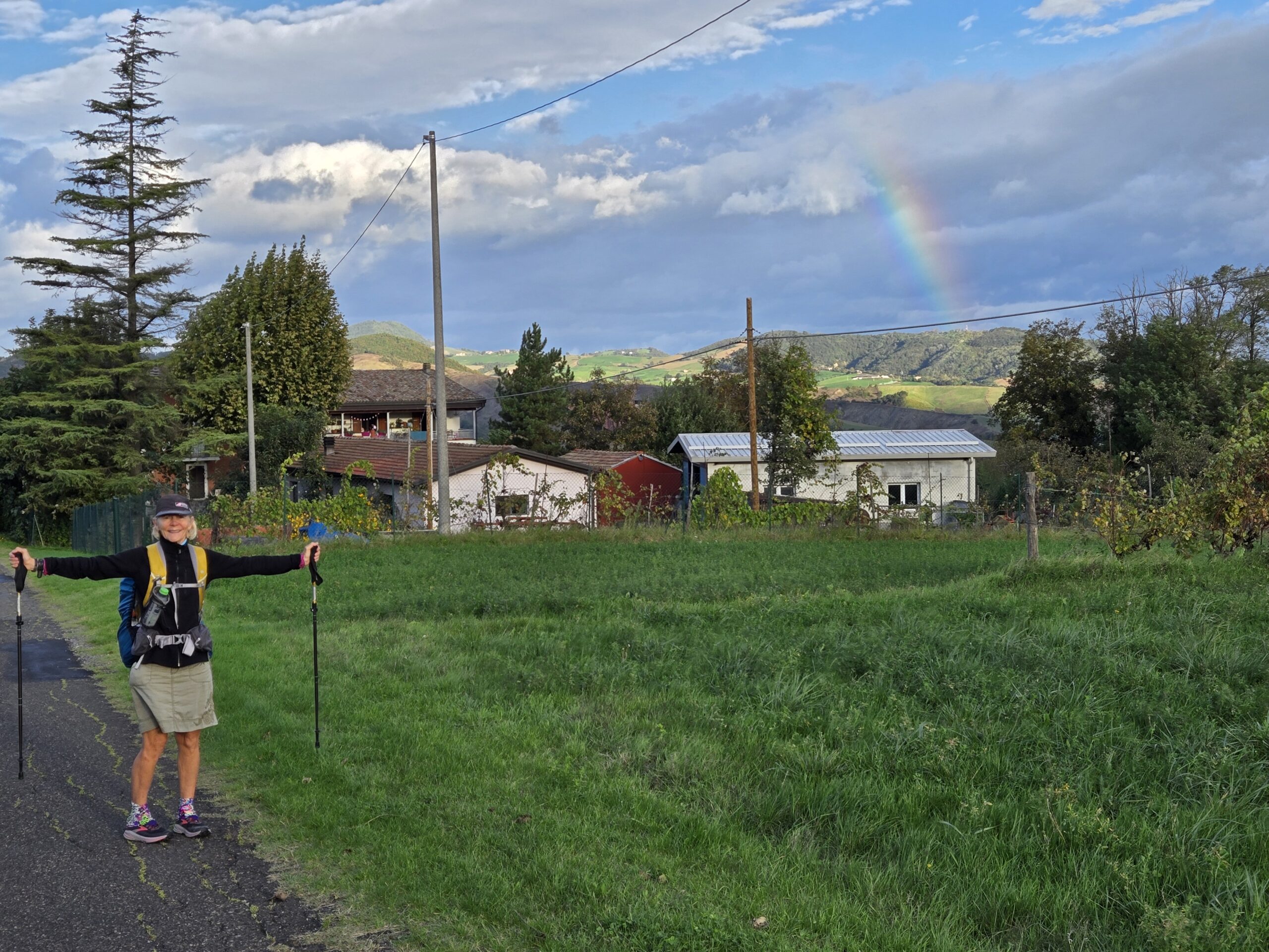
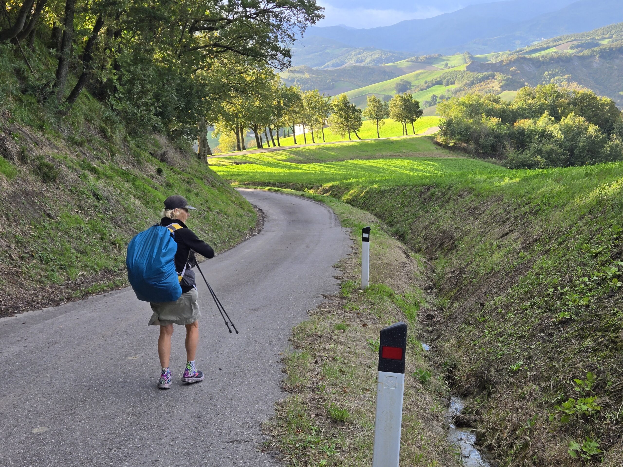
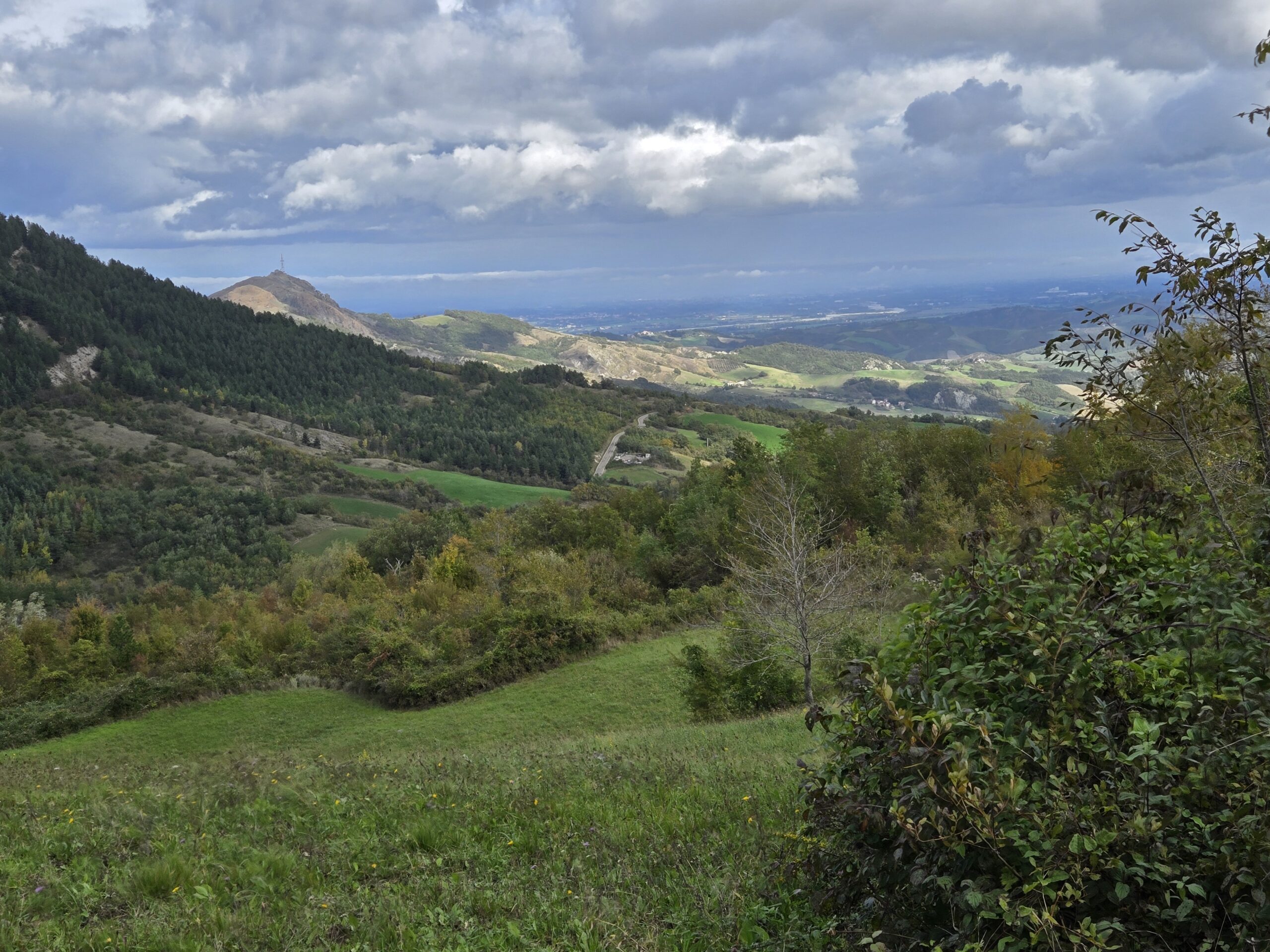
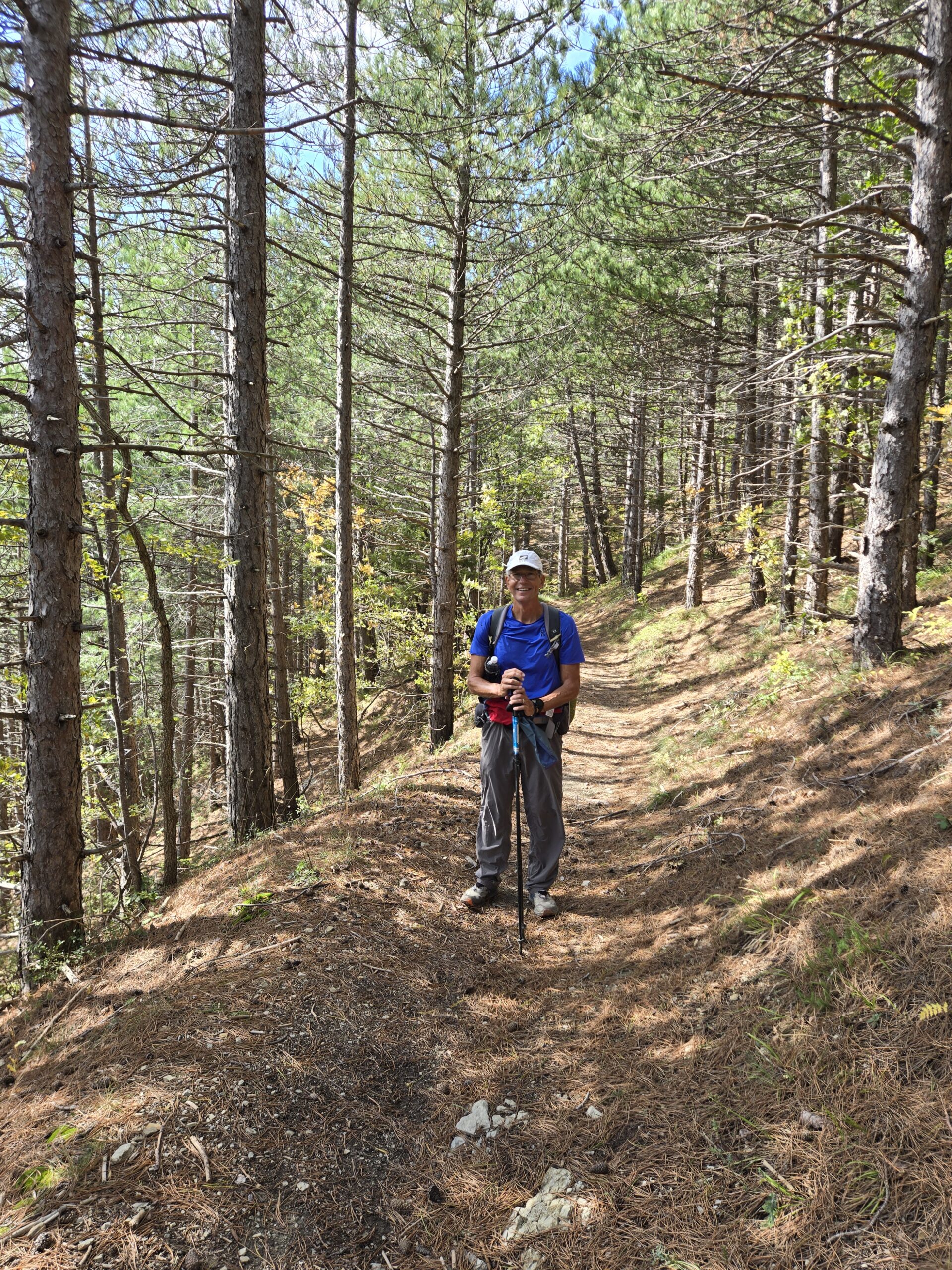
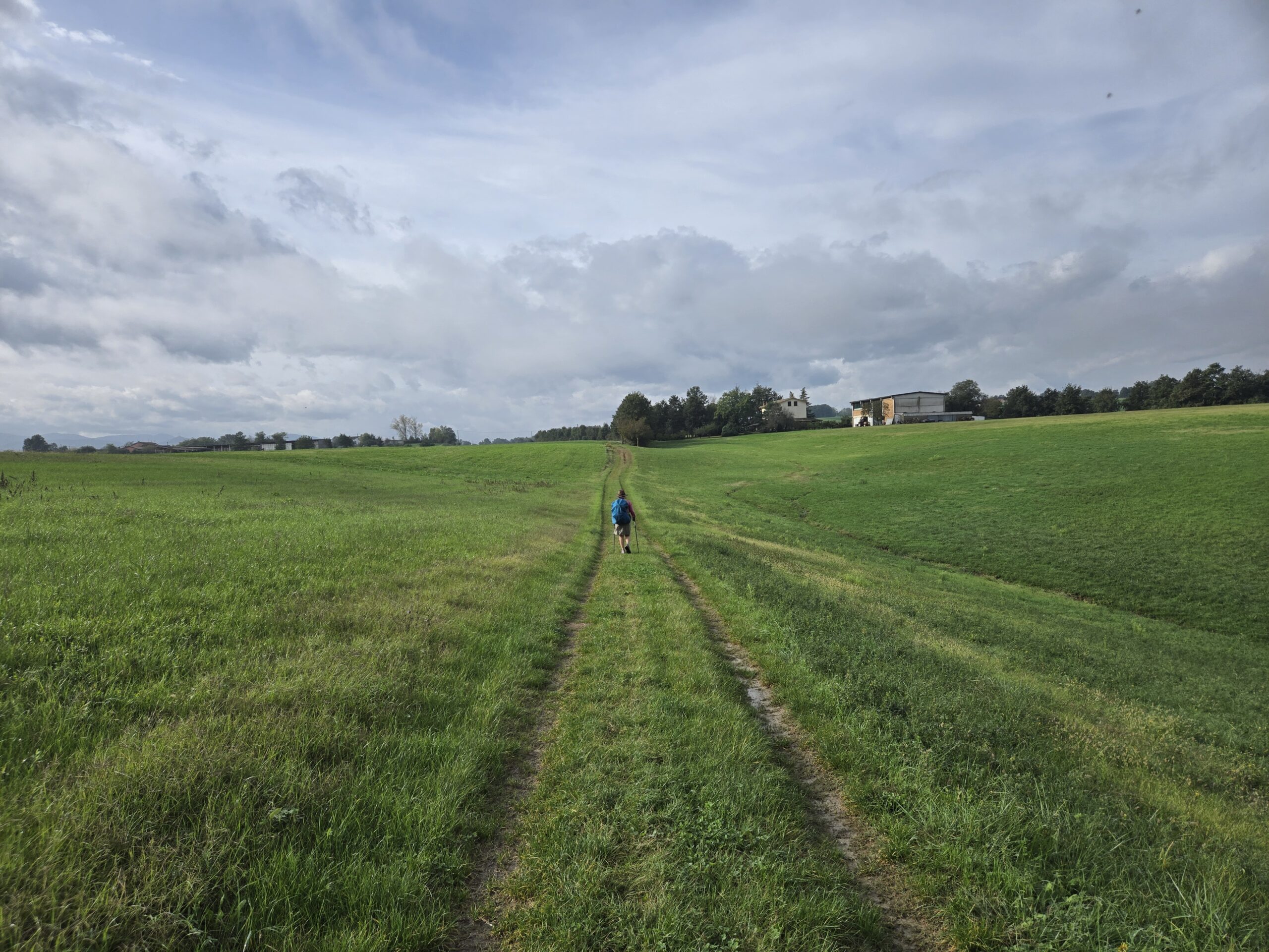
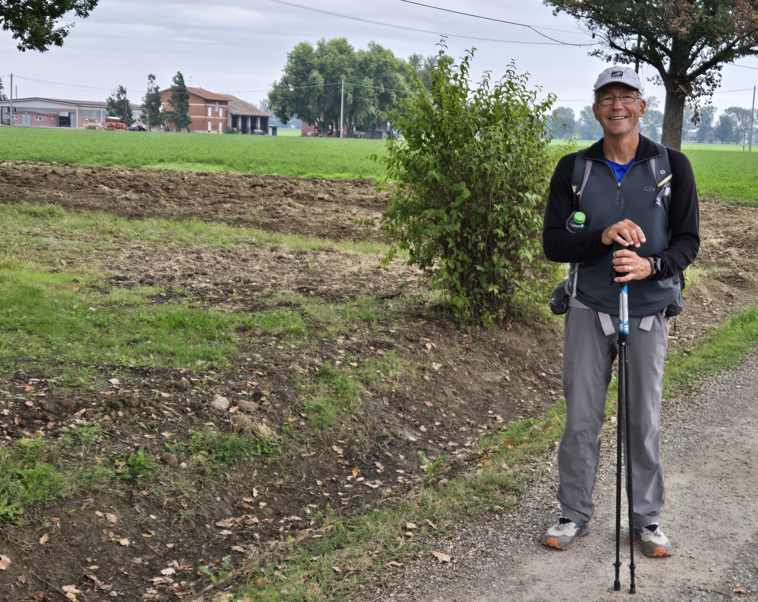
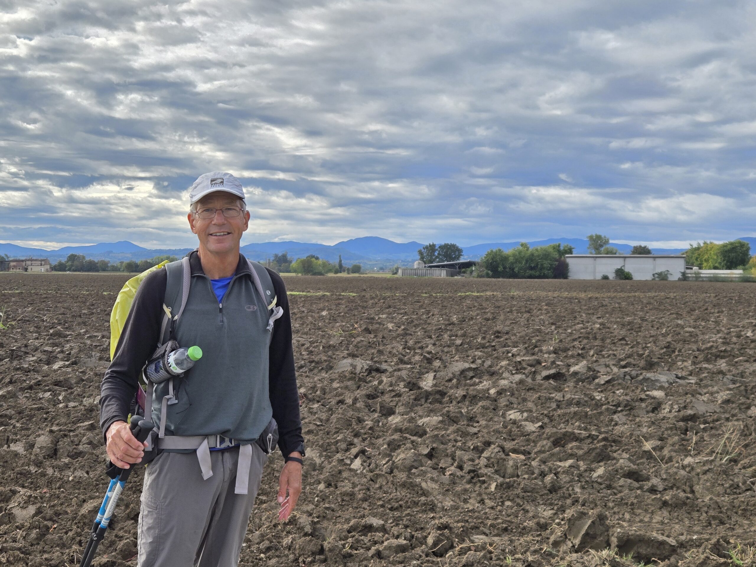
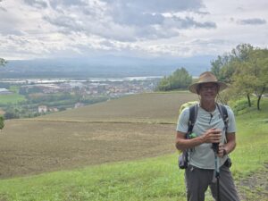
Well fed, we were off in the day’s hike. The weather was more accommodating than yesterday, so we were able to enjoy the views and bit more.
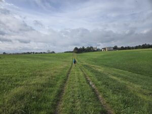
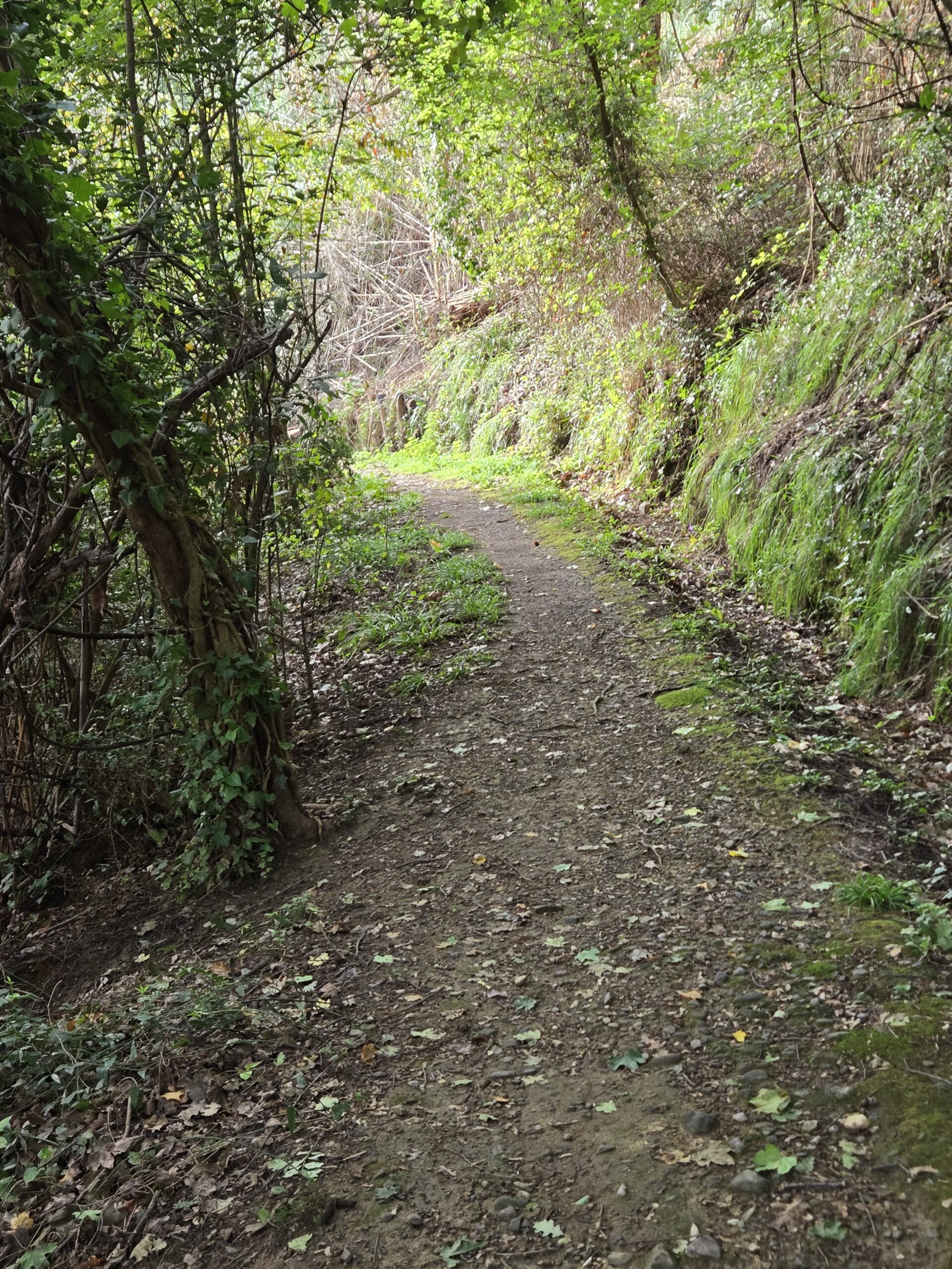
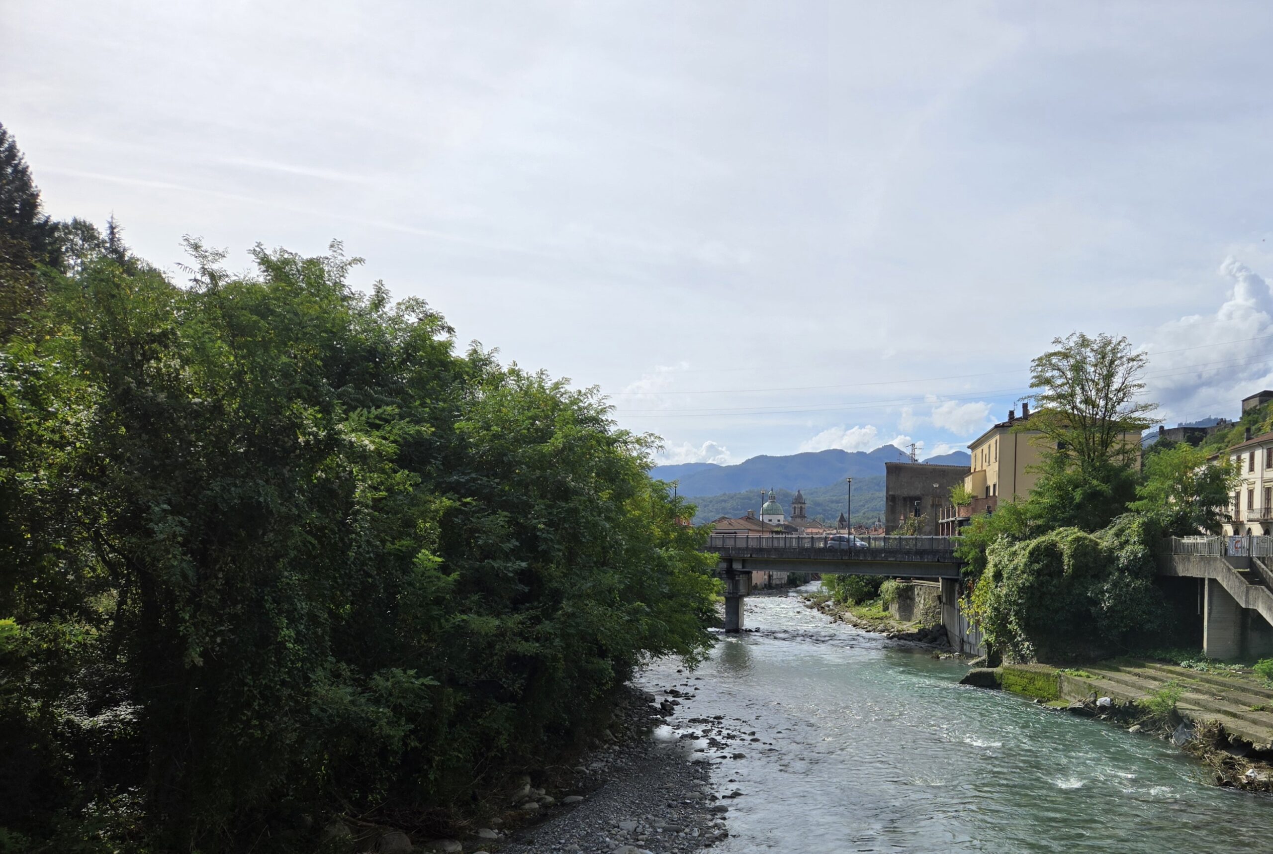
After a while, the path descended towards the river. The intent was to follow the river for several miles and avoid a busy road that also follows the river.
As we went approached the river we saw a sign which said, “in case of flooding, go this way”. Okay, nice to know.
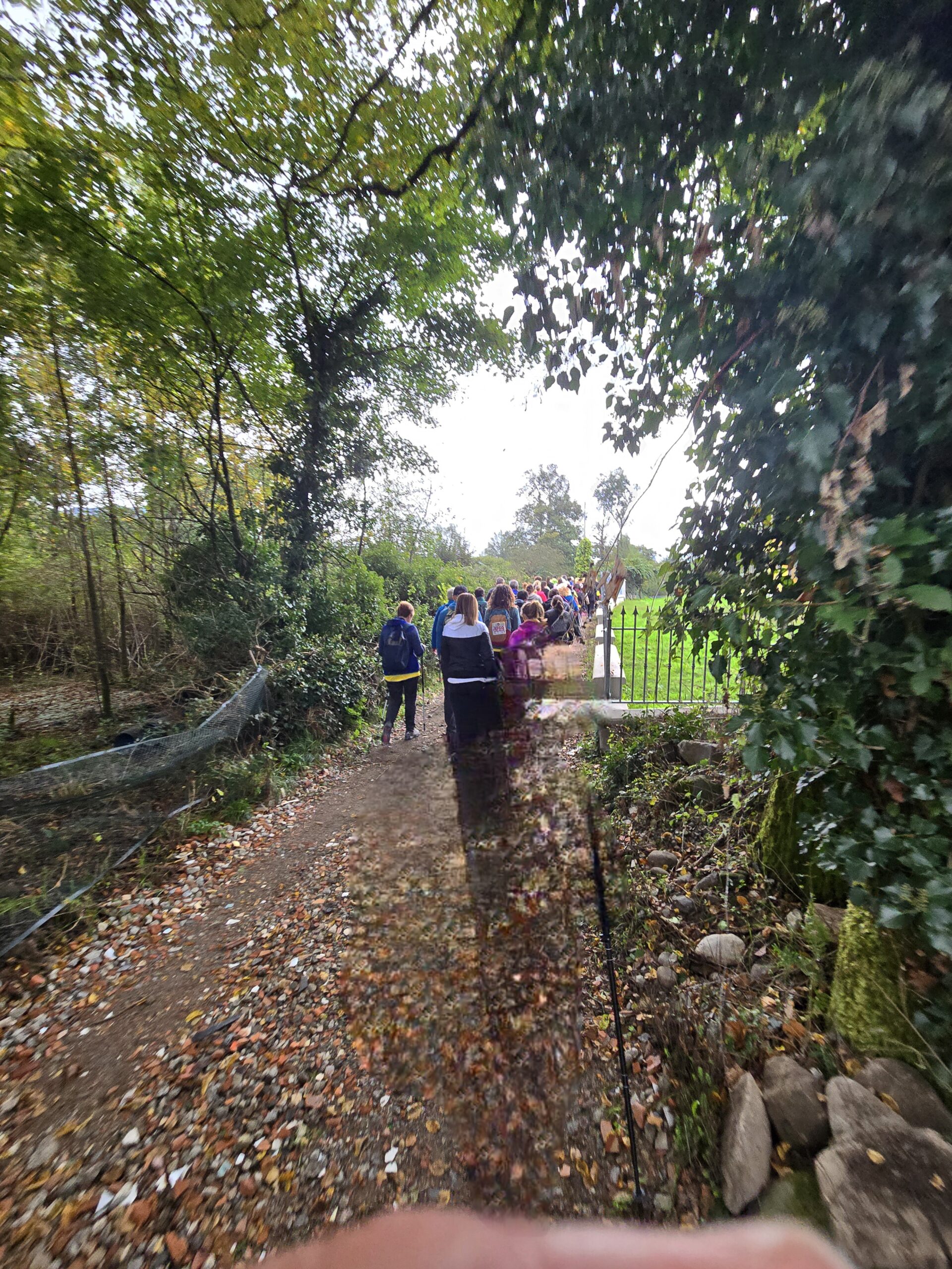
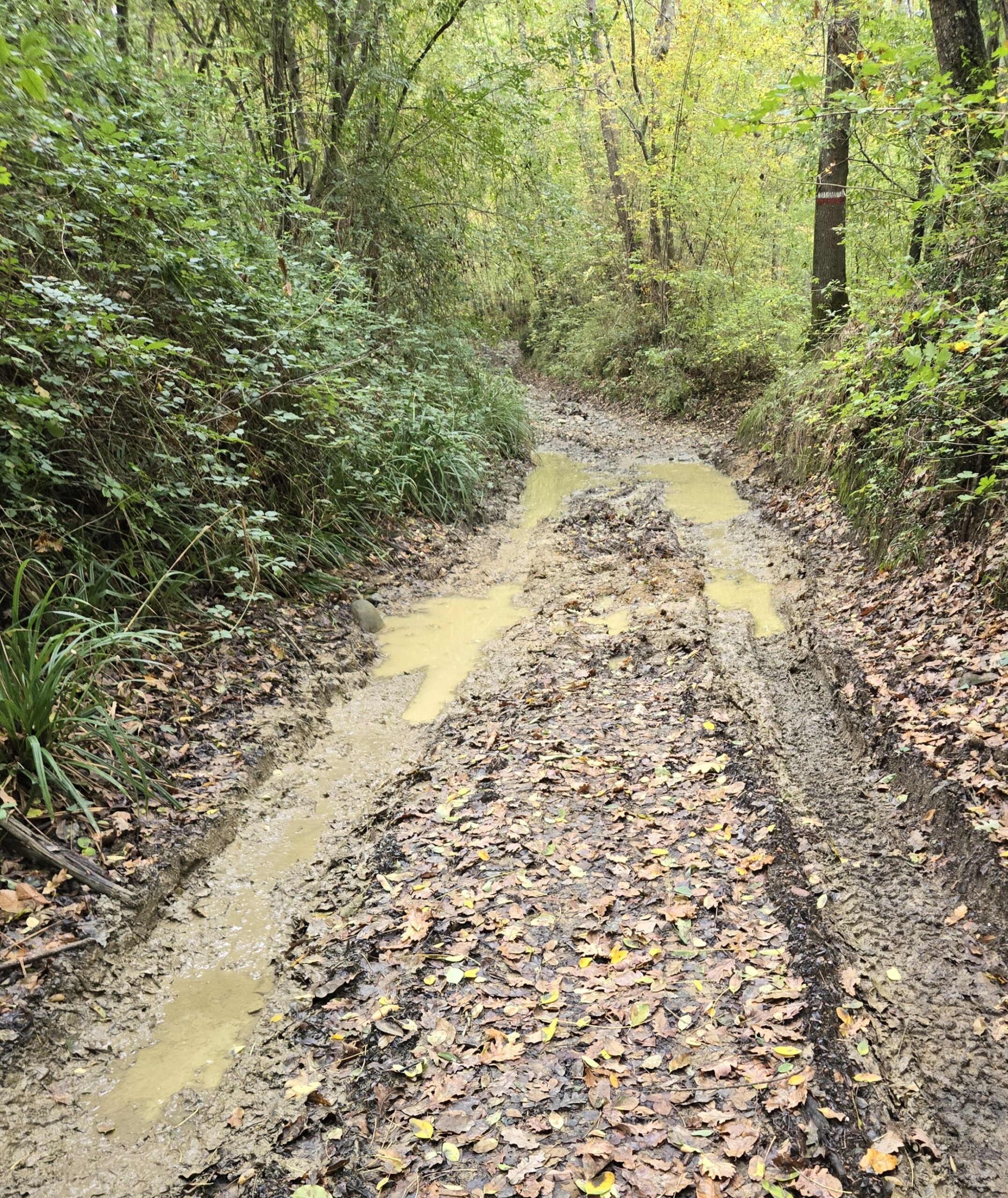
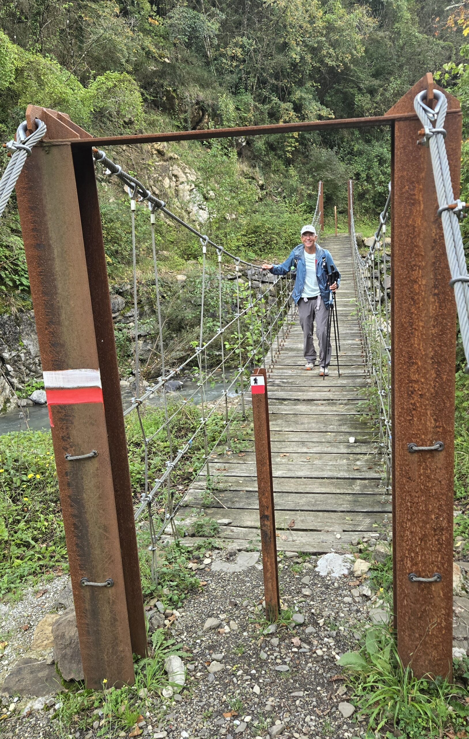
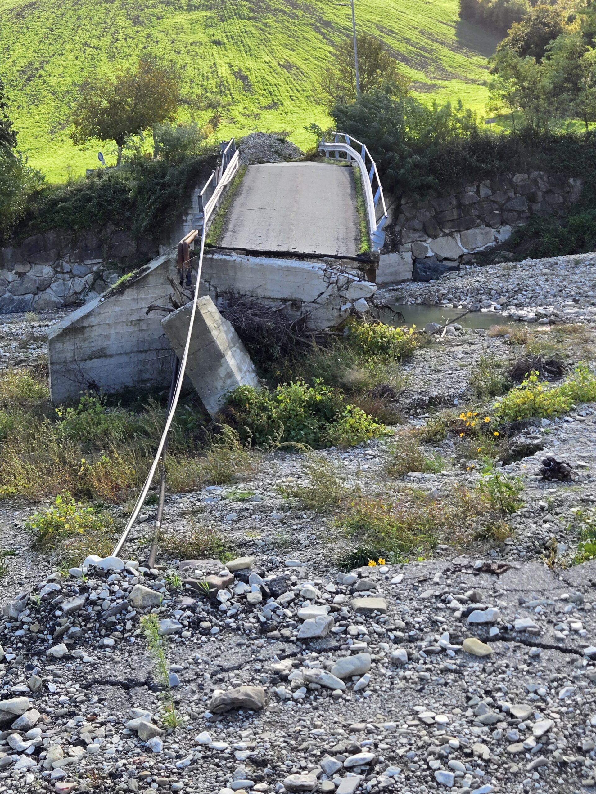
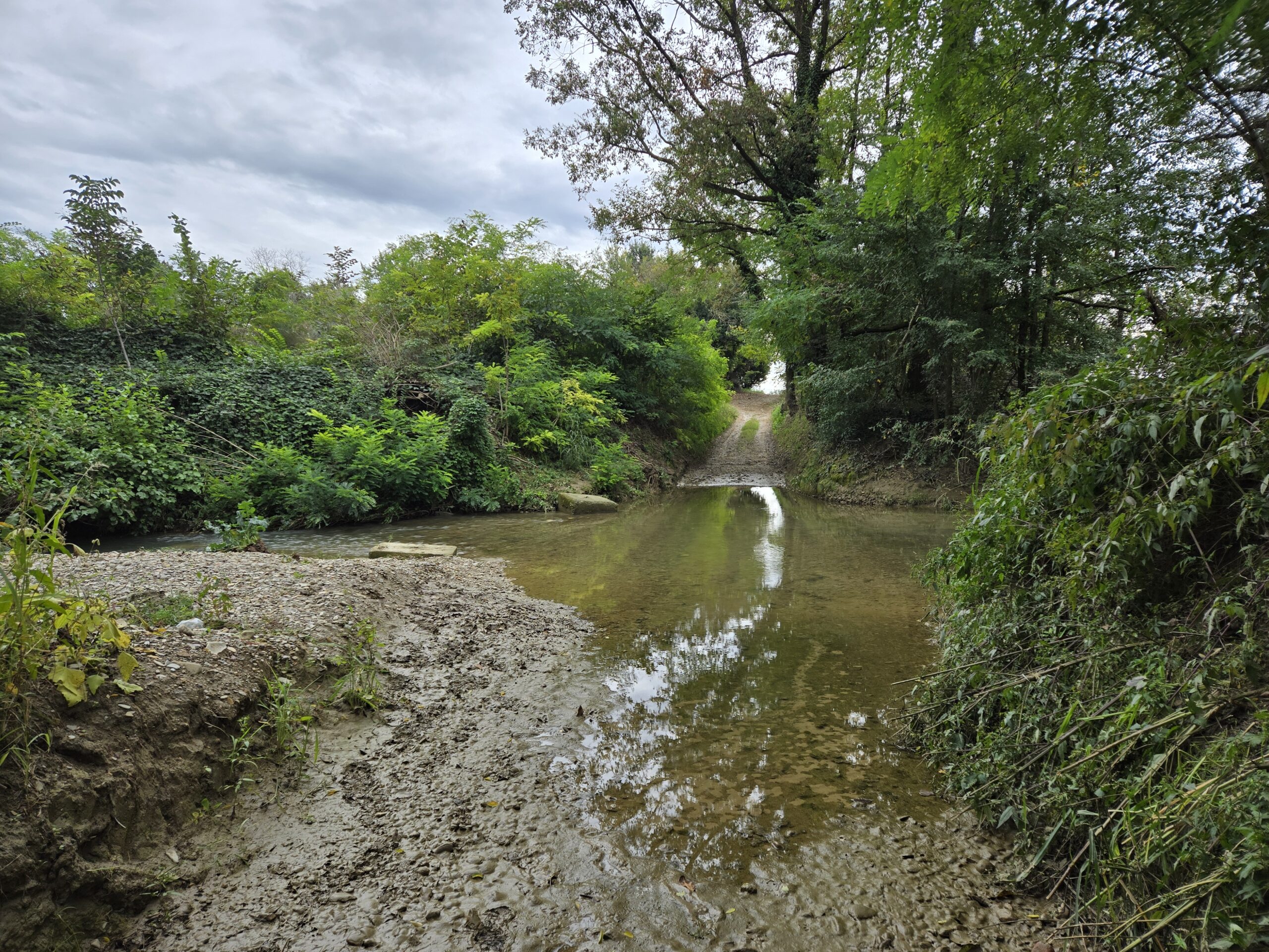
We continued along our primary path until we encountered a stream crossing.

Bill quickly found out that you couldn’t even approach the stone crossing without sinking 6+” into the mud. No thank you. And beyond the stone crossing was 10′ of open stream. No can do!
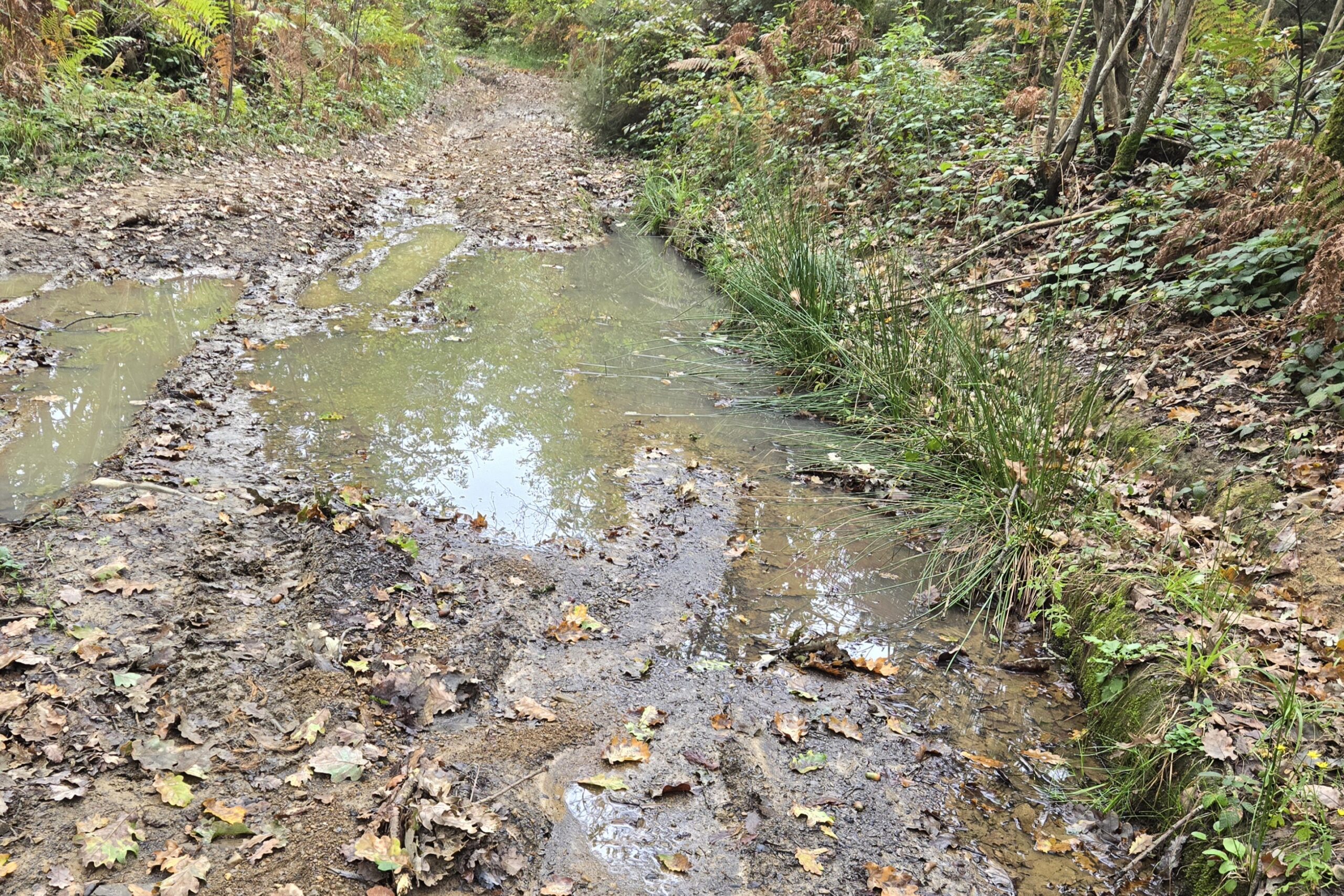
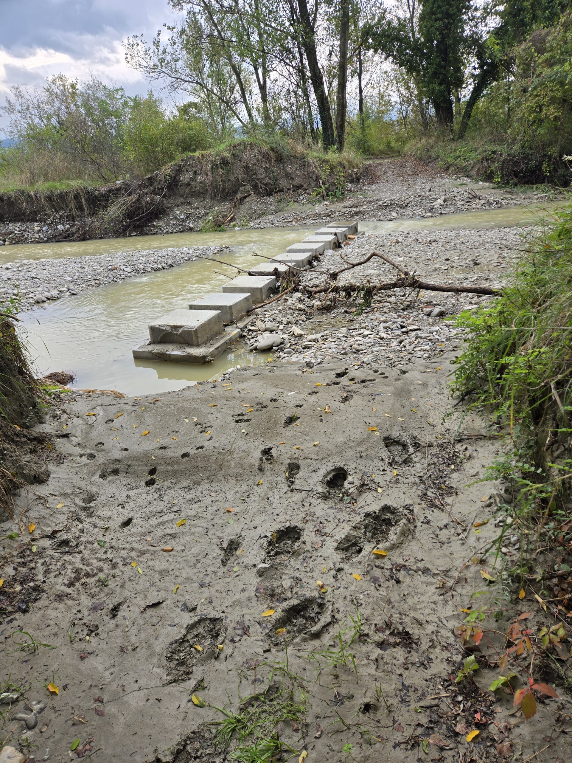
Well, the was the flooding detour. We can do that! So we back tracked and headed out on the alternative. 3/4ths off a mile later, we encountered a closed underpass. Now, there were 2′ x 2′ blocks all through the underpass to provide a way. Once again, though, the blocks ended 15′ before the flooding ended and the water was at least 18″ deep. Nope!
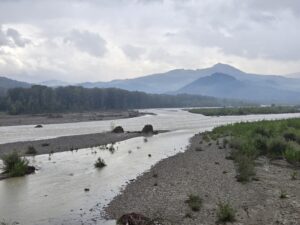
Option 3: go back out to the busy road. It was busy! Lots of traffic, going fast and barely a shoulder to walk on. It was possibly the most challenging section of road we’ve done! But all things must pass, and we did.
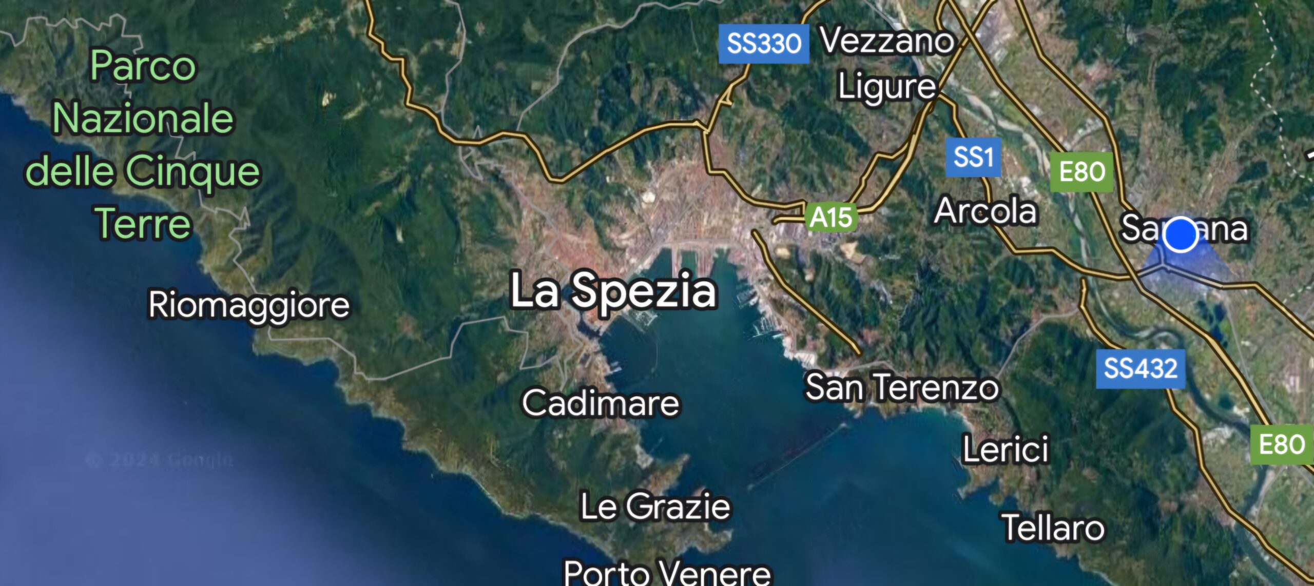
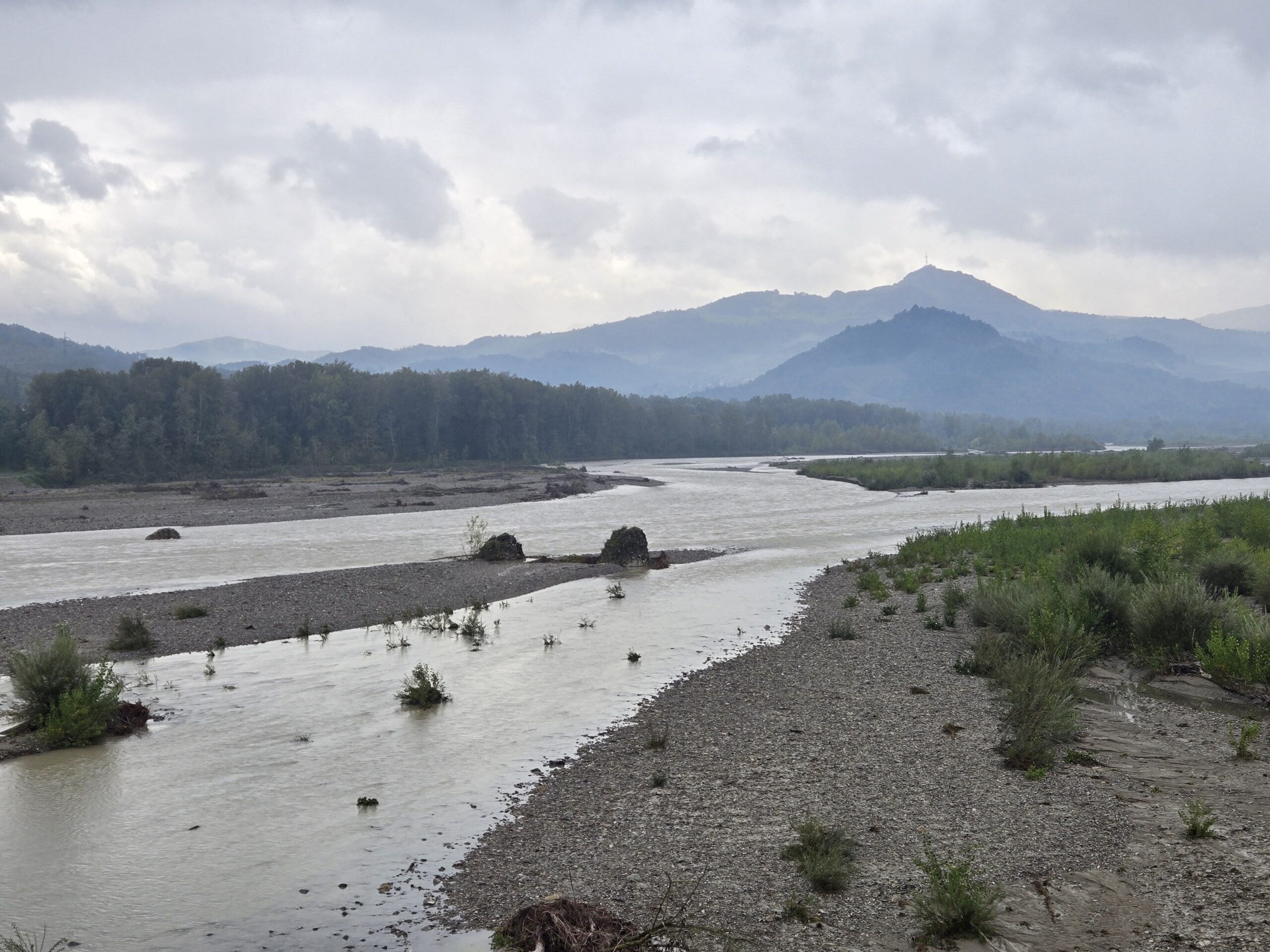
We then crossed the mighty Taro river
And now we’re at our rest stop, showering and getting ready for tomorrow’s big climbing!
Languages: Okay, Google translate is really pretty good. If you need functional help (where’s the bathroom, who are you, can I see the menu), it’s really great. However, if you want to really talk to someone, it takes to much time and is awkward to use (says me …). We’ve found that some language skills really help break the ice with other human beings (versus transactional beings). Over 1/2 our stays have been with hosts that speak English. That’s easy. About a 1/4 are with hosts that only speak Italian. We’ve been working for a couple years on Italian and, while we stumble a lot, we have some good conversations!
Interestingly, about a quarter of our hosts/ restaurants spoke Italian and either French or Spanish but not English. That gave us a lot more options to find ways of communicating. And it’s been fun!
So, the editorial is; since our years are going to pass, anyways, why not try to learn a language a little bit each day? Who knows? It may open up some very interesting doors/ conversations later in your life.
Auf wiedersehen!