Category Archives: 2018 Camino de France

Lauzerte to Moissac; Embracing the Crumb

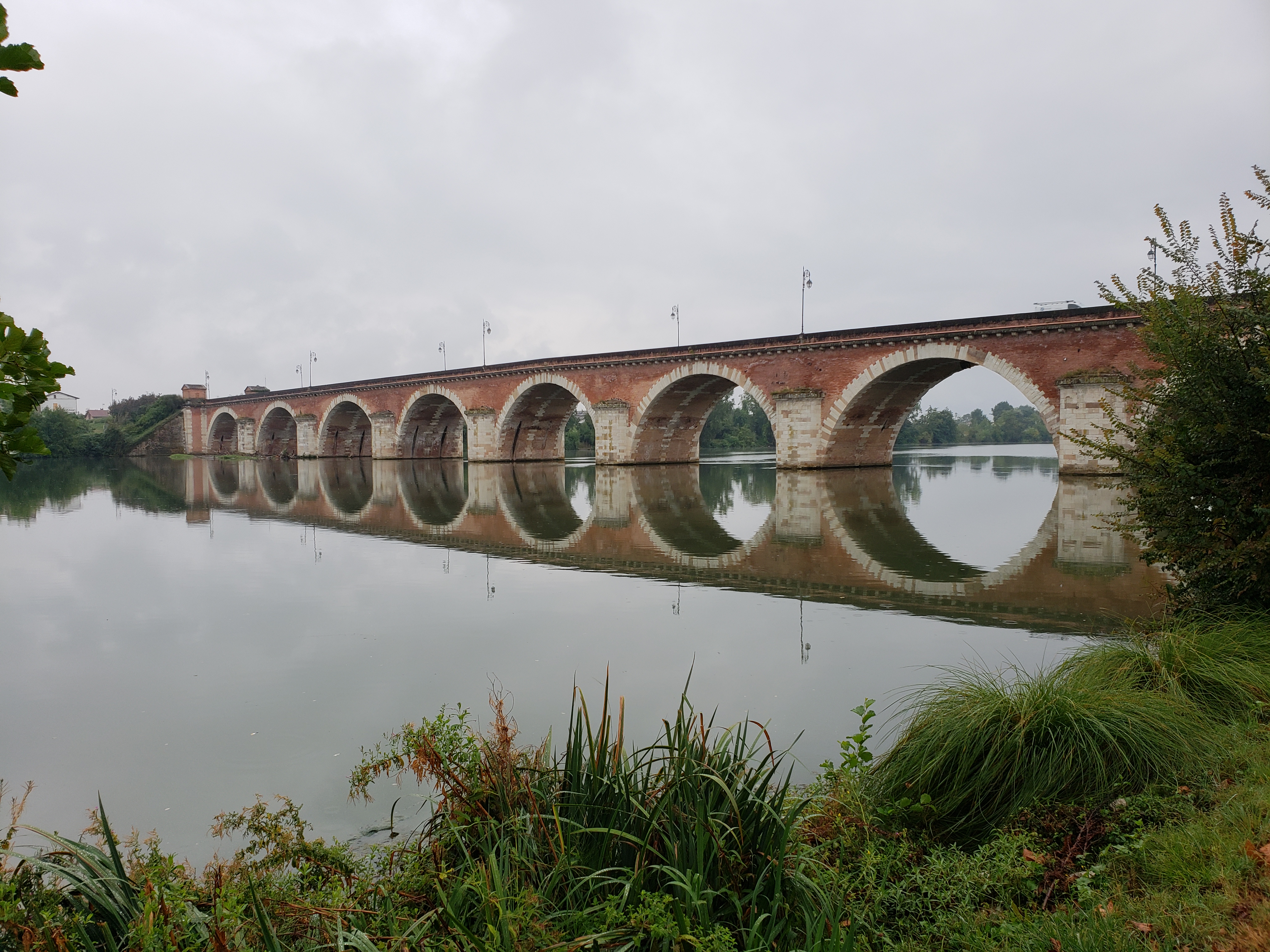
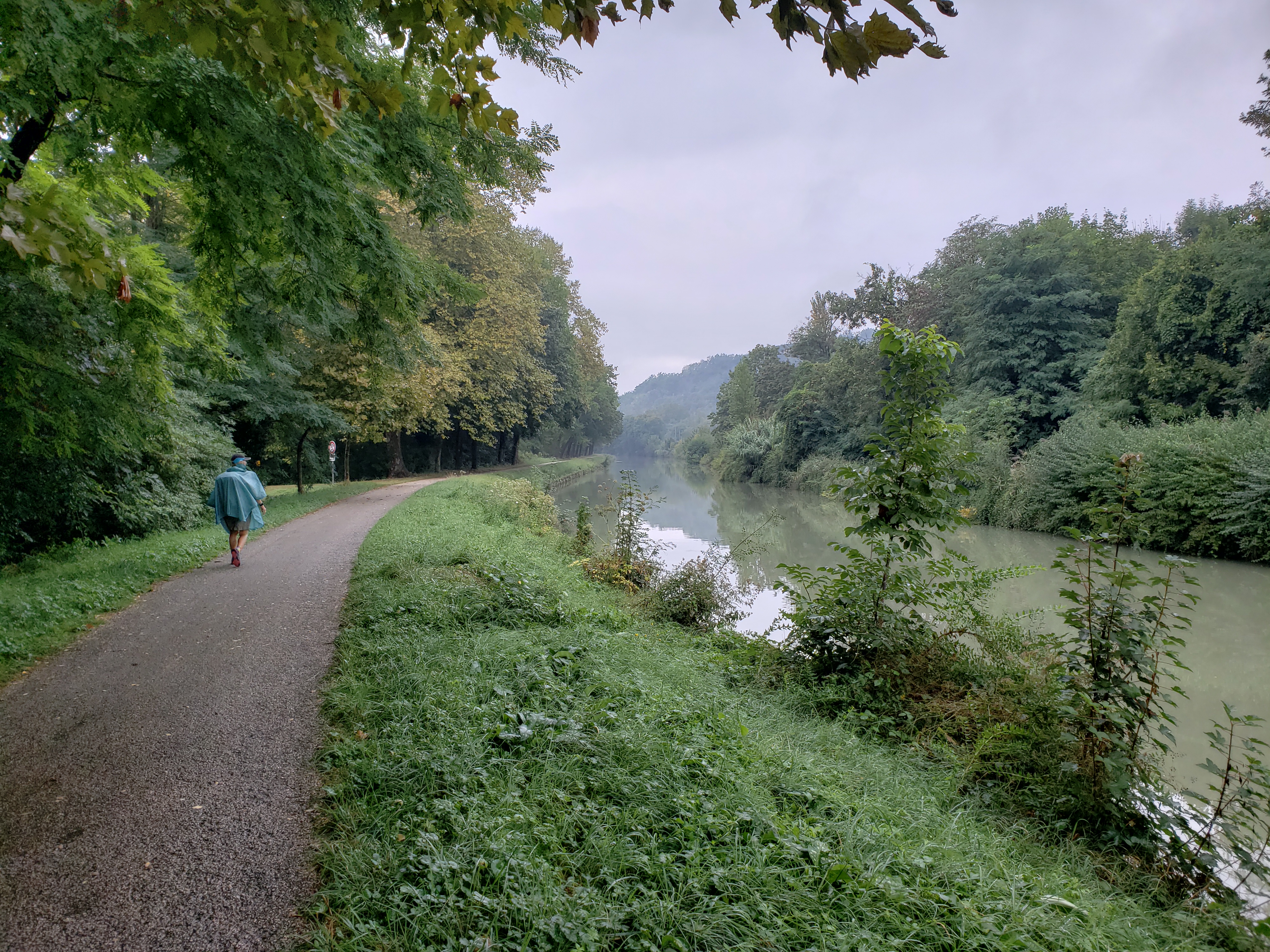
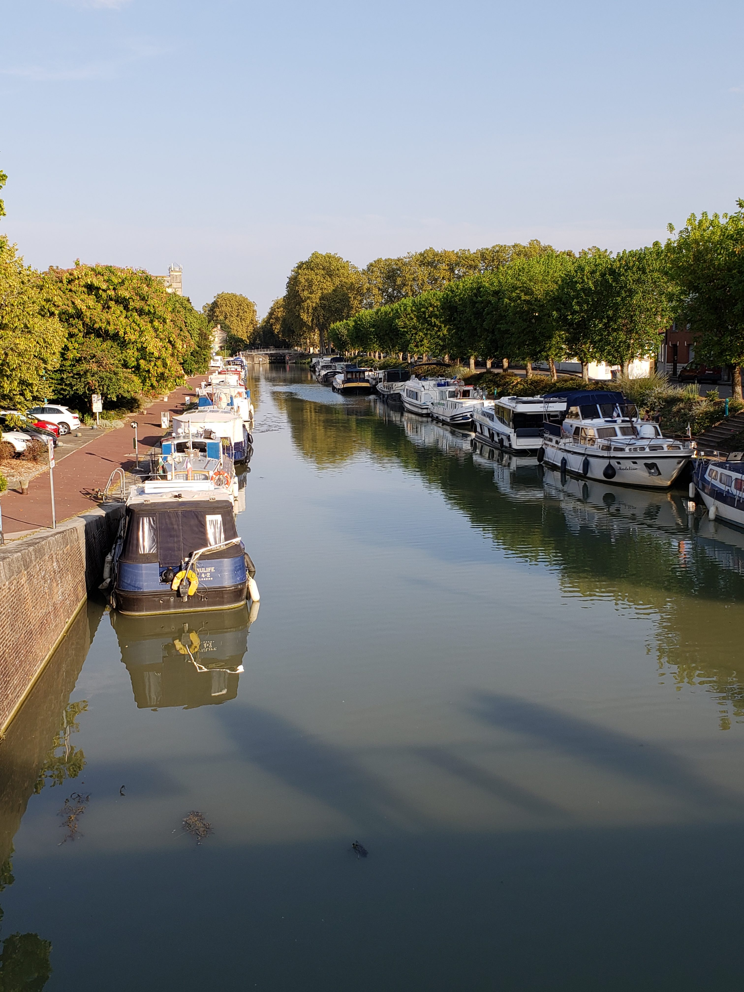
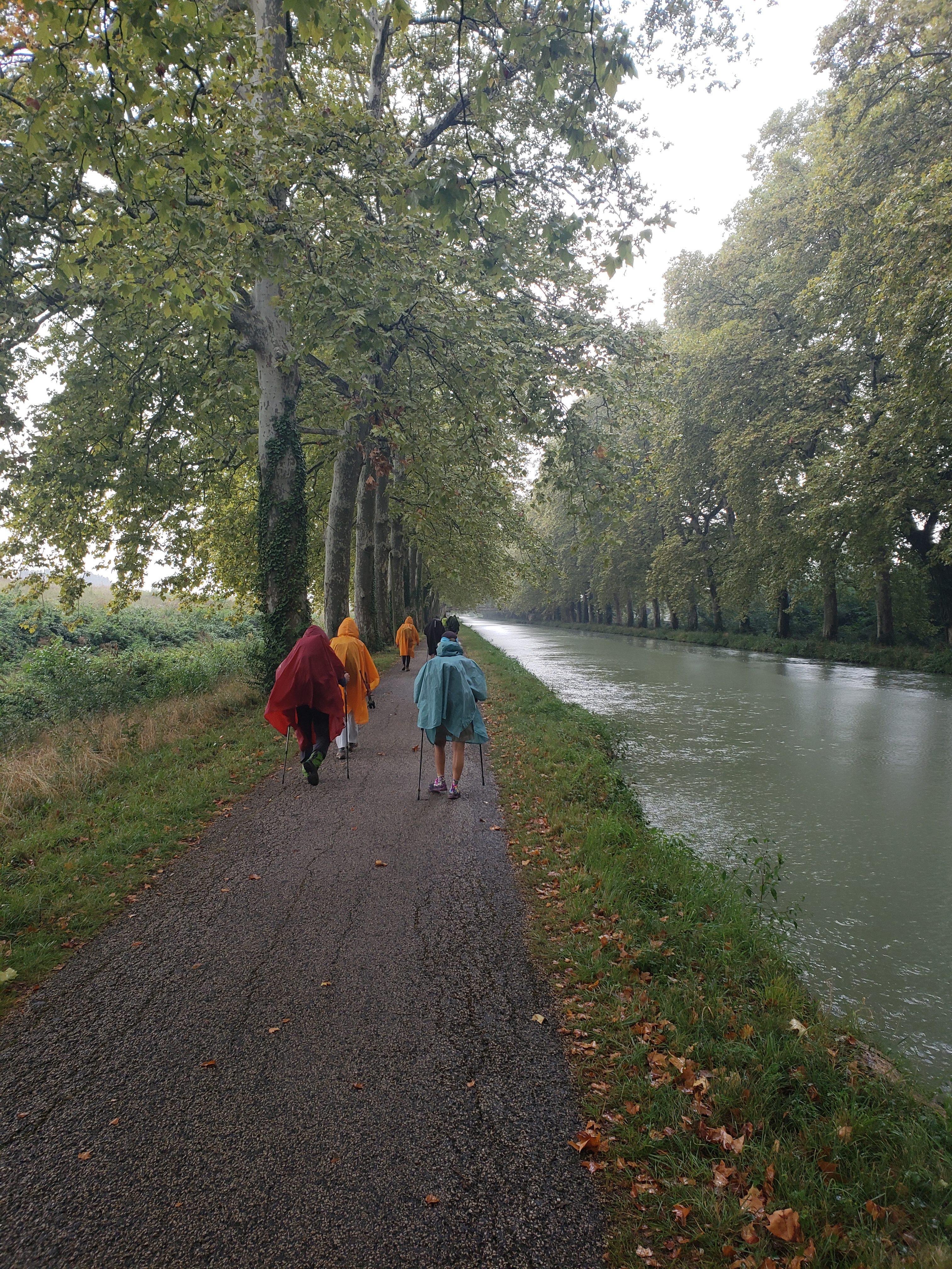
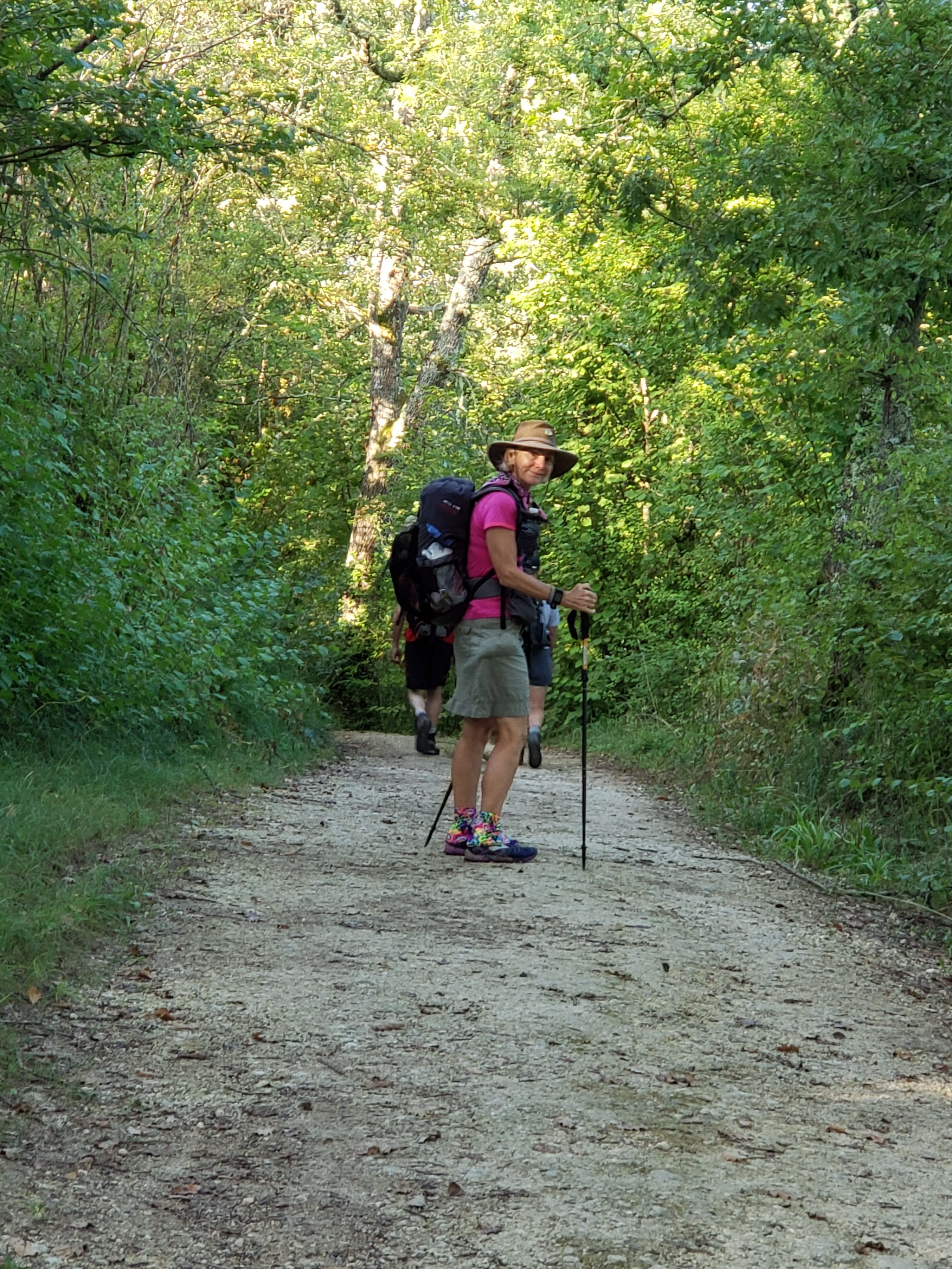
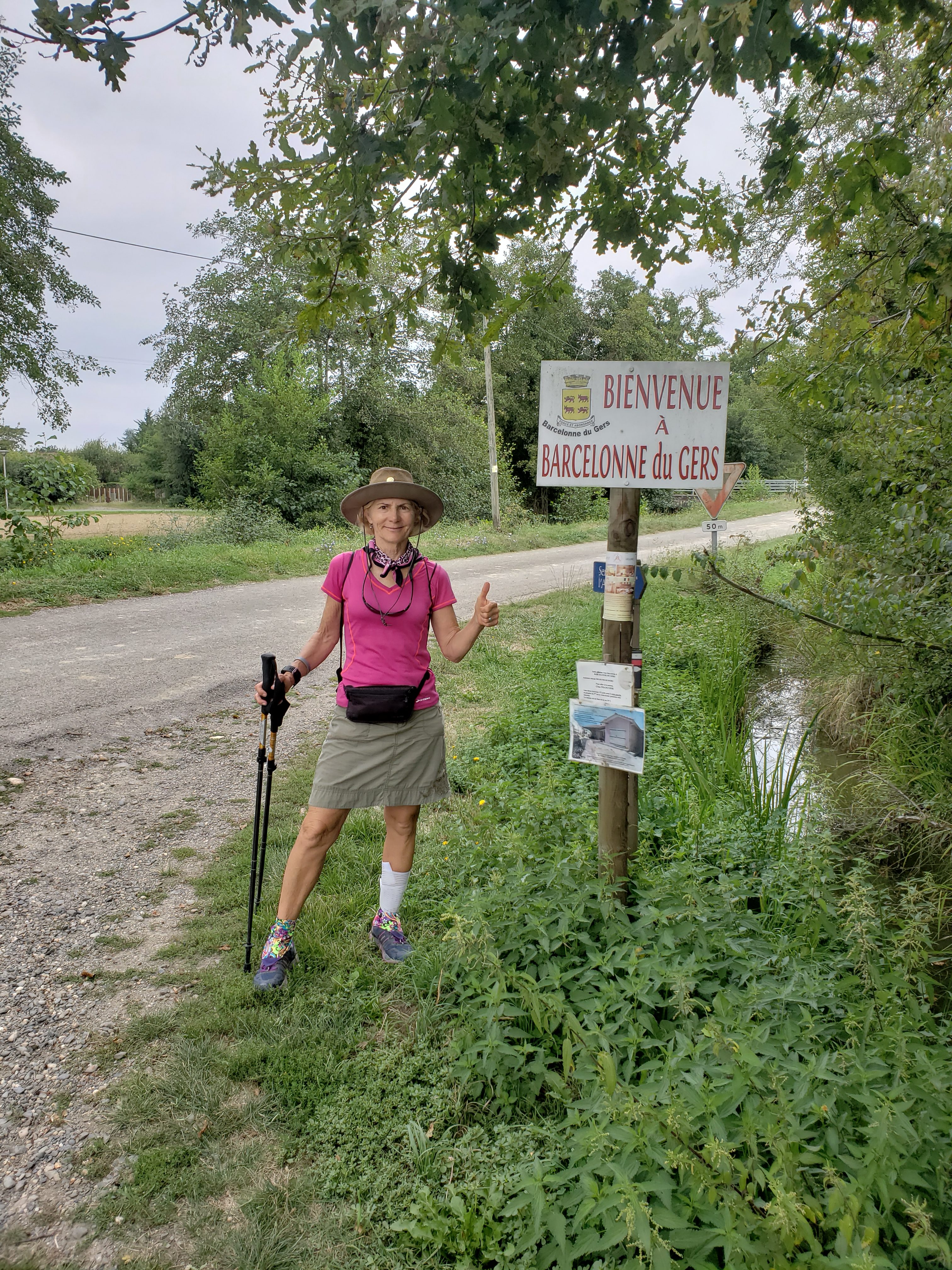
Today was 17 miles hiked, bringing our total to 291 miles walked, overall.

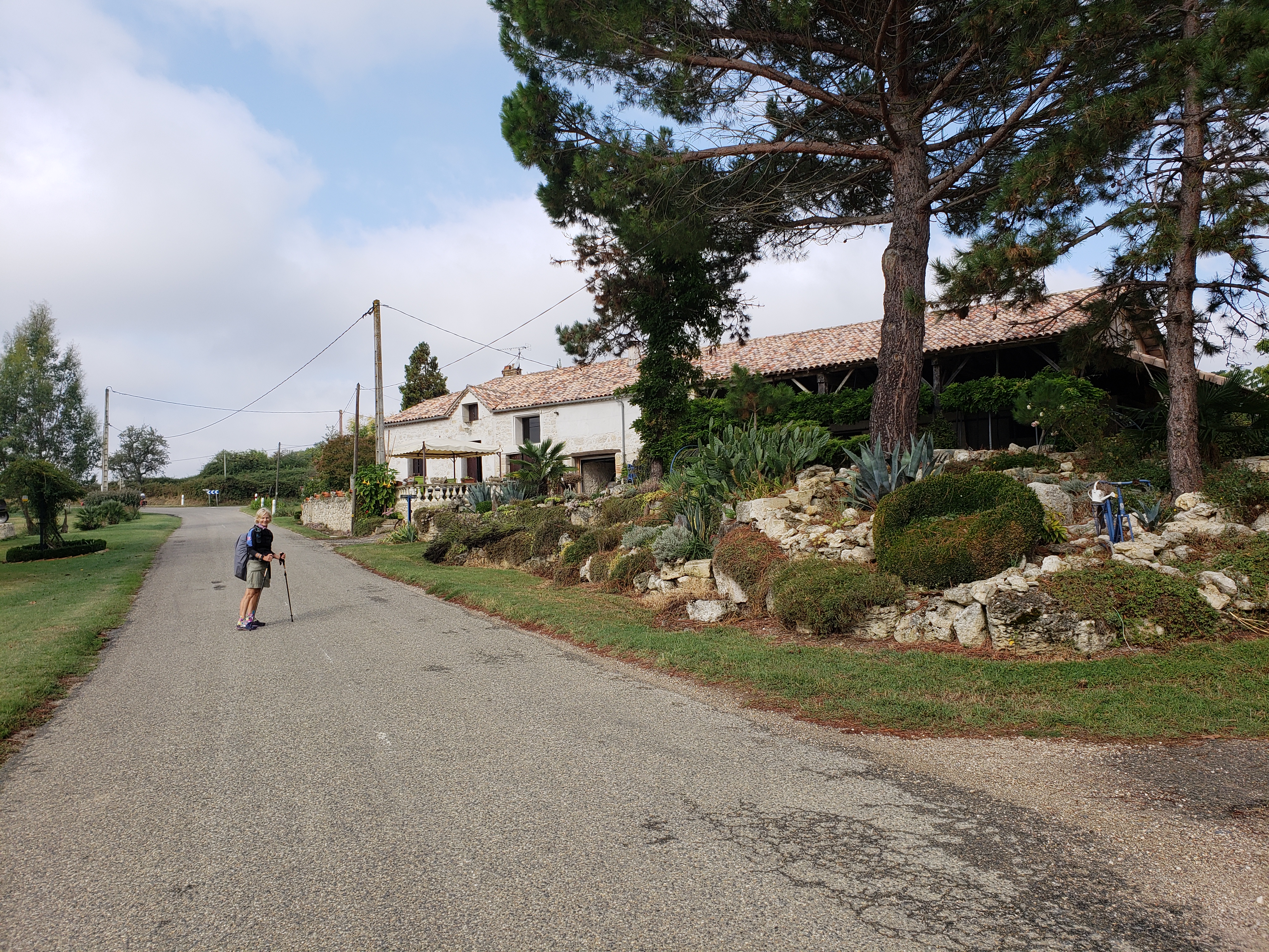
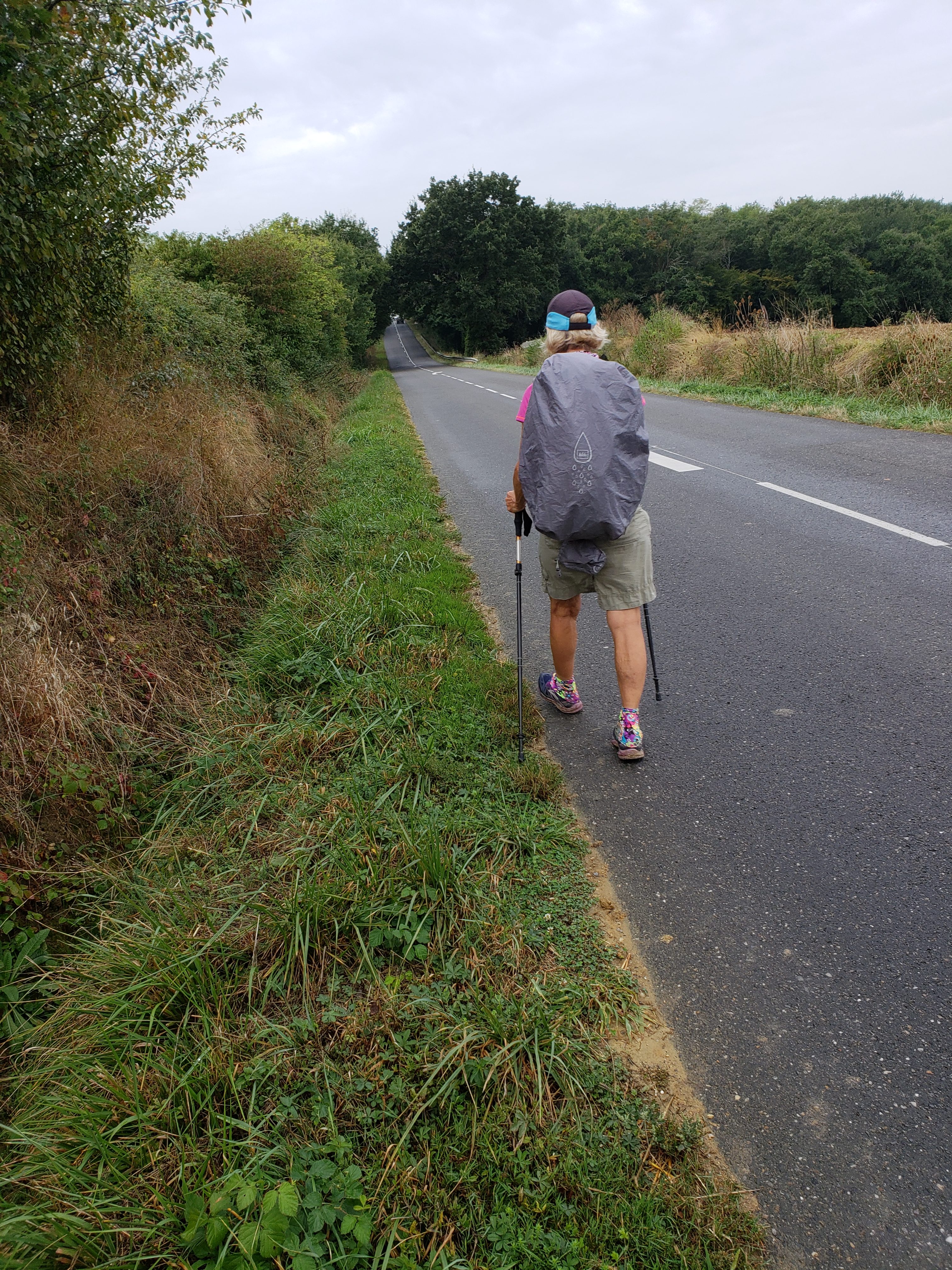
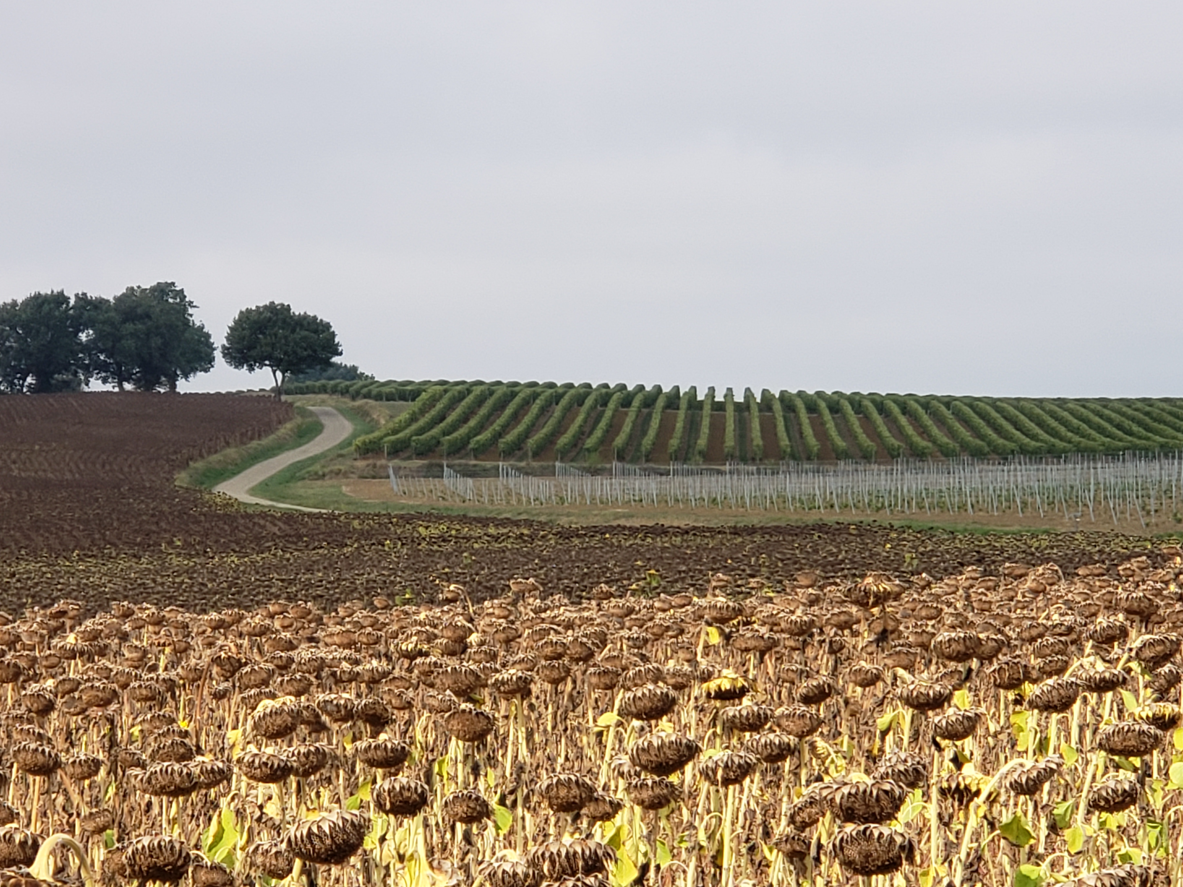
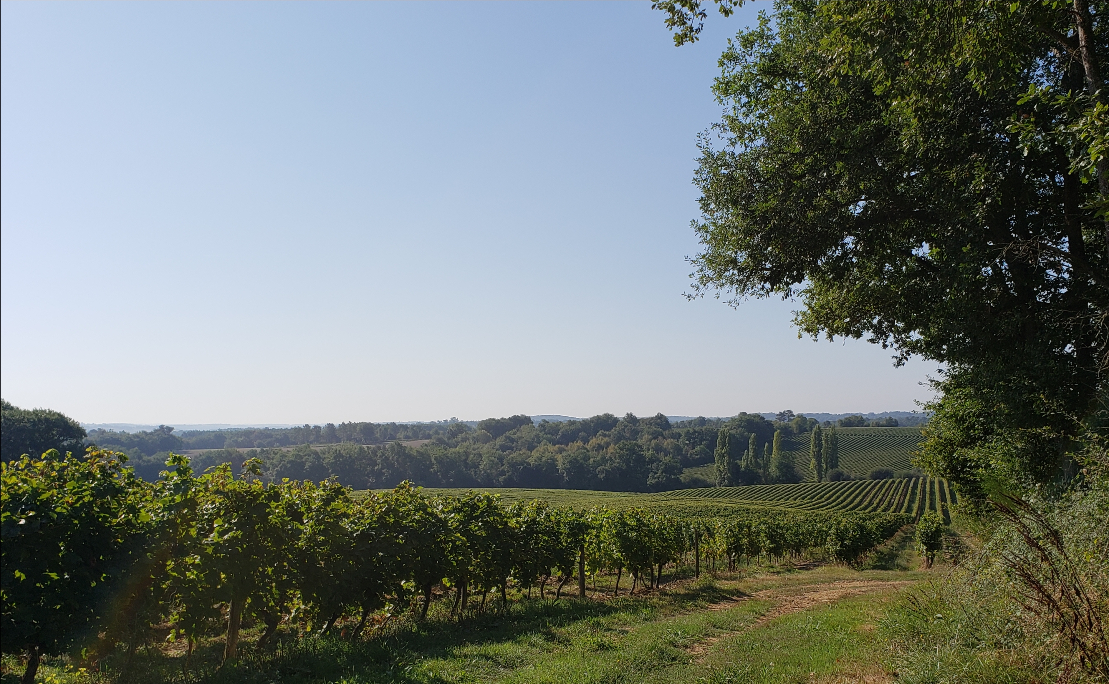
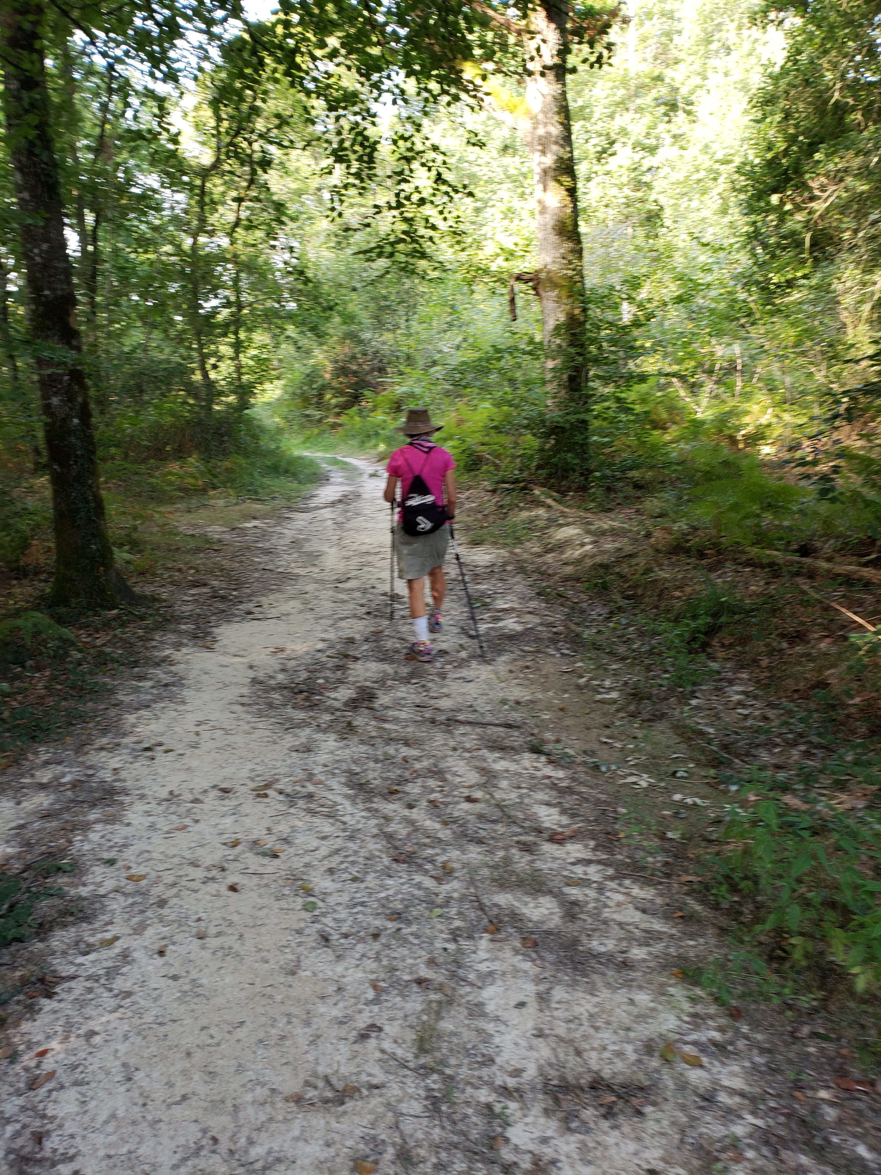
We continue walking through rolling farmland in this region of France. One of the interesting features of this region is the ancient desire to build the towns on the tops of hills. As our walk takes us from village to village, we’re constantly going uphill to a village, then down to the farmland, then up to the village etc. The photo, below, is two miles into the hike, where we have descended from Lauzerte (in the background) and then immediately climbed the next hill. Repeat and Rinse.

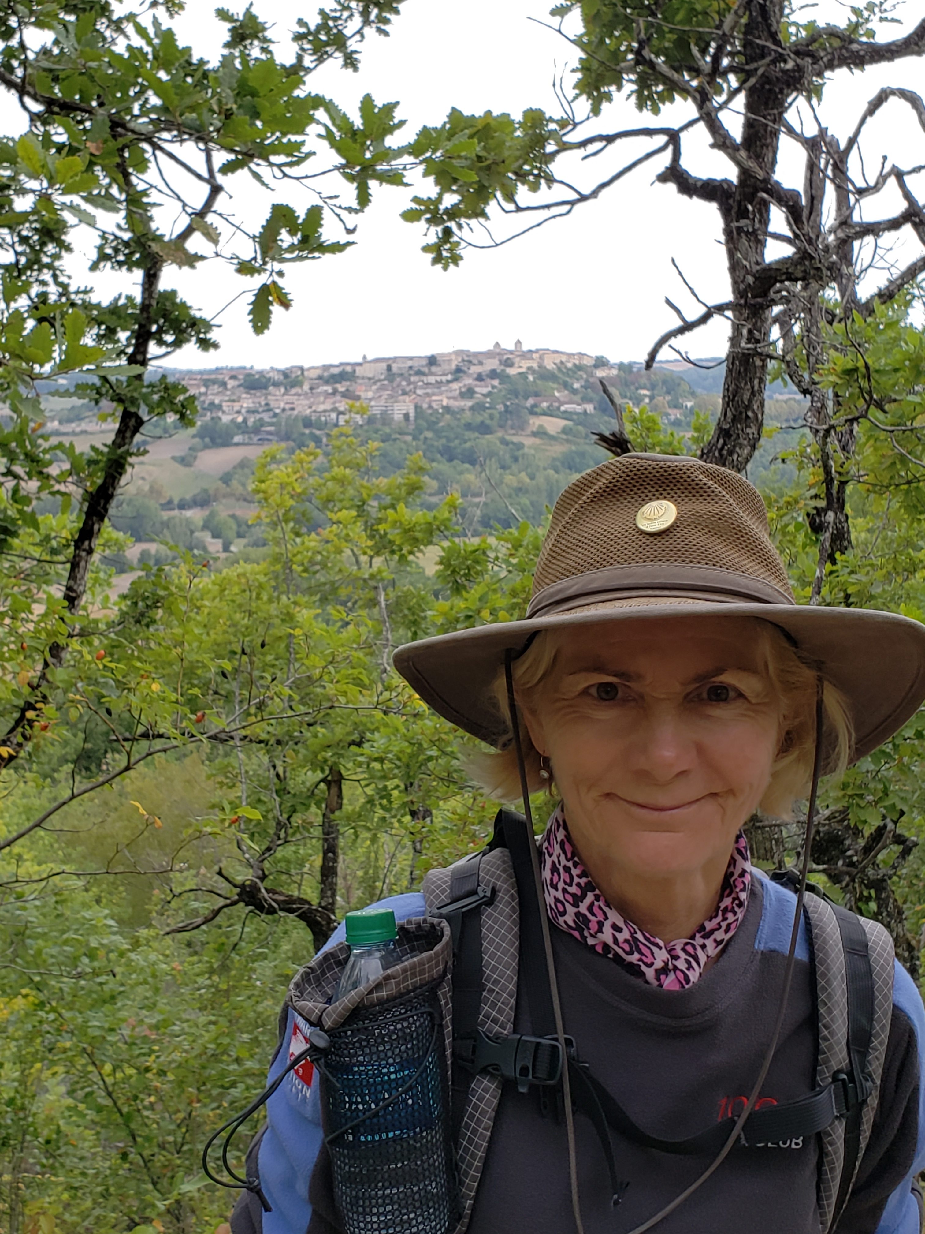
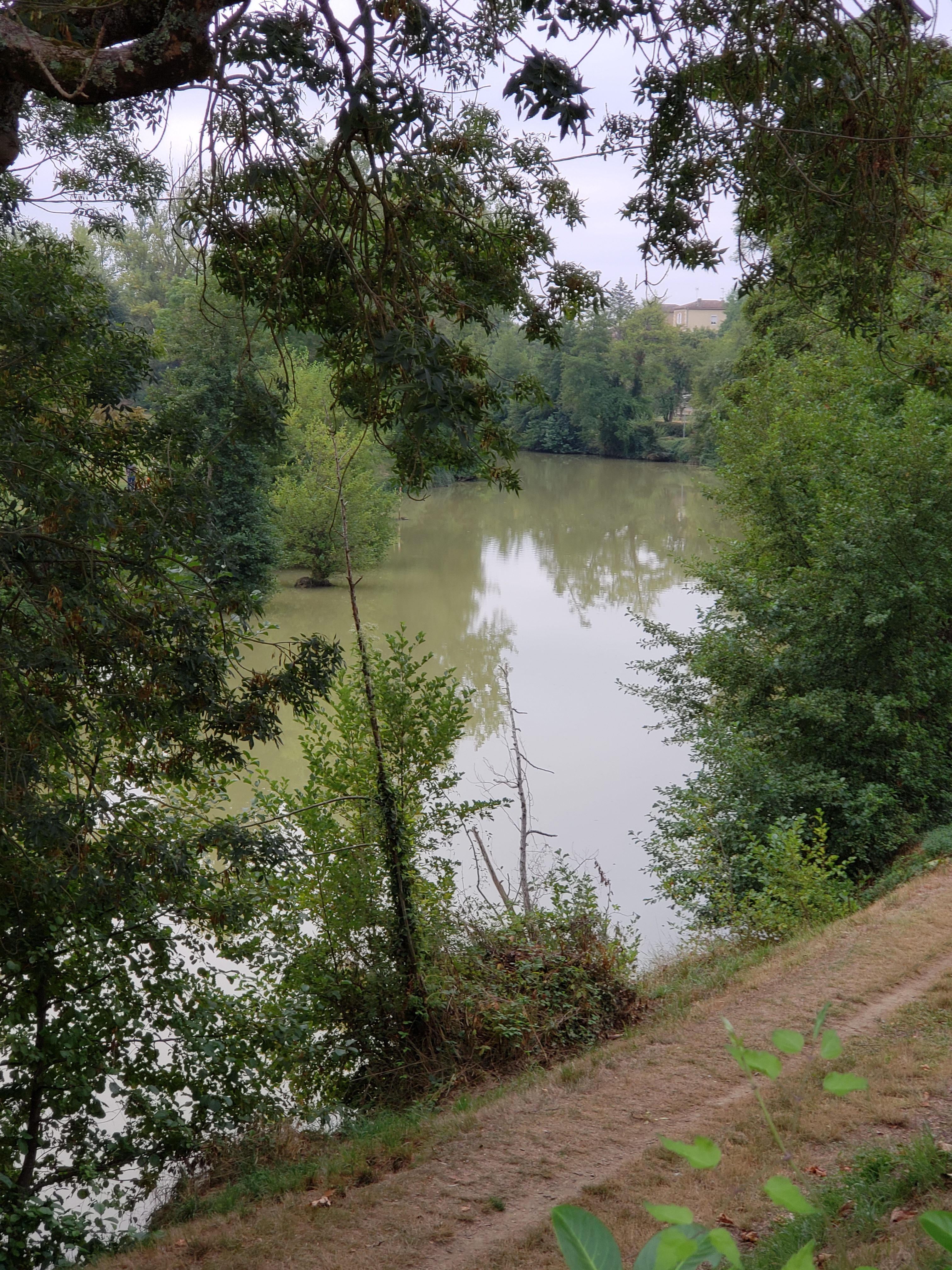
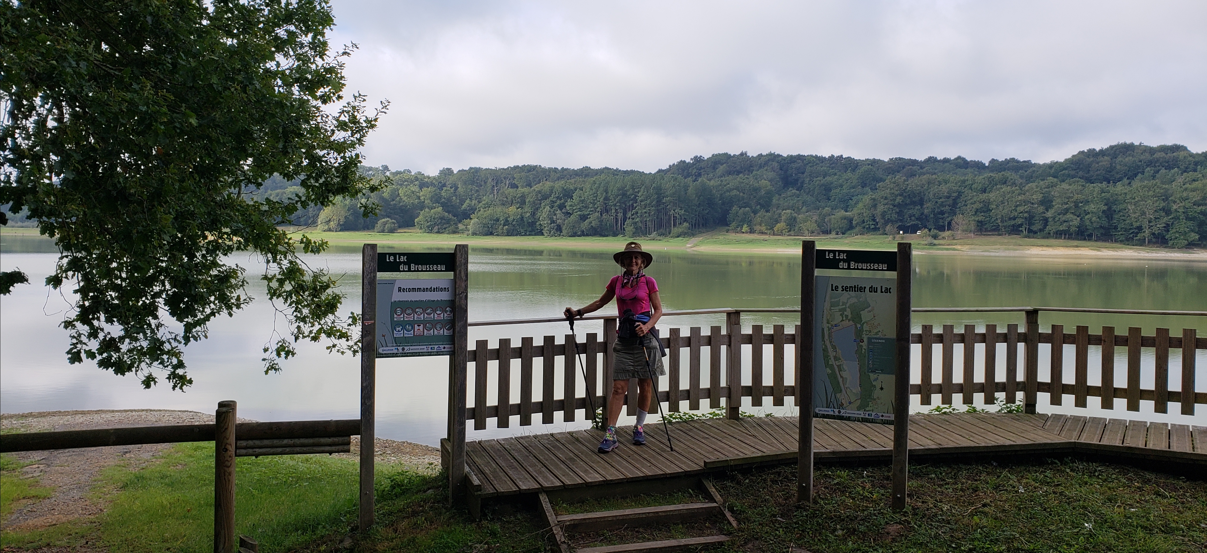
Along the way, we passed what looked like an enterprising young kid’s idea of fun. A bicycle ramp that sends the rider and bike into the lake! What could be wrong with that? 

Okay, on to today’s supplemental topic: Embracing the crumb! Regular readers will know that Bill is severely crumb challenged. He cannot eat a croissant (the national breakfast of France), without leaving crumbs everywhere. He assumed these messes left on the table, the chair, and the floor were a grievous offense to the French national sense of propriety. Add such, he’s been worried about being summarily kicked out of this beautiful country.

It was only this morning when Diane pointed out to Bill that the breakfast tables don’t even have bread plates. More so, the dinner bread is supposed to be placed directly on the table … it is not proper to place your bread on your plate.

The result? In every case, crumbs will be left behind! In other words, the crumb is the symbol of fine bread dining! Proper honor is given to the bread when you leave a monument of crumbs behind!

Oh! I’ve been honoring bread all along and never realized it. Tomorrow I will dribble crumbs with pride. C’est le pain!

Moissacto Auvillar; Route Between the Seas

Today was 13 miles, giving us a total of 304 miles overall. We will have shorter days for the next couple of days as we will take a suggested 19 mile day and divide it in half. Our feet can use a break.

Today was 75% walking along the Garonne river. Beautiful! 

More correctly, we walked along the canal which is alongside the river.

This canal is used, nowadays, almost exclusively for pleasure craft (canal cruisers), like what we rented in the canal du midi in 2011.

For whatever reason, we saw more Pellerin on today’s walk than we’ve seen since maybe our very first stage out of Le Puy. 

So, what’s this about a route between the seas?  Well, back in the 1500’s, France was having difficulty getting goods from the Atlantic region around to the Mediterranean side. The typical sailing route was to go around Spain/Portugal, enter through the straights of Gibraltar, then in towards the French Mediterranean. Except Spain and Portugal had a whole bunch of pirates! As did Northern Africa! Shipping by land was inefficient, so, ‘what to do’?

The solution was to use the Garonne River, which coursed from Bordeaux on the Atlantic, inland as far as Toulouse. From Toulouse to the Mediterranean, they built a canal,  the Canal du Midi, in the late 1500’s/early 1600’s! Here is a map, to help put the pieces together. 

The Blue line is the Garonne River and Canal du Midi. Enough history for today. Hope all is well with each of you.

Auvillar to Miradoux; Getting from Here to There

Today was 11 miles, so our total is now 315 miles.

We spent the night in an old, but nice hotel L’Horloge (the clock), in Auvillar. This village played an important role in medieval times, as it was the center for tax collection. At harvest time locals would have to bring a portion of their crops to pay their tax bill. Each of the 12 sides of this building is used for a different crop. 

Today’s walk was similar to several of the recent stages, rolling hills and farmland. Diane added in some Real Estate shopping, but couldn’t decide between the castle 

And the gentrified farm house: 

Oh well, we’ll just have to hold off until we can reach a decision!

For those interested in the overall route, here is a screen capture of the Le Puy route, as provided by Gronze.com.

Le Puy is where were started and “SJP de Port” is (nine or less) where we finish.

While we have a guide book that we carry, each day we go onto Gronze to pull down a daily route and elevation map.

This map is actually for both today and tomorrow, as we split a long stage into two shorter stages. It is read from right to left. We started in Auvillar (right side) and stopped today in Miradoux (center). The elevation chart lets us know how much climbing we have that day.

And that’s the way we do it, here in France!

Miradoux to Lectoure; Le Week-end

Today was another 10 miles, bringing our total to 325 miles. We passed a sign today that helped put it on perspective. 

While difficult to read, if you zoom in on the right side, you’ll see that it says, “999 km to Santiago”. For non- metric speaking people, that’s about 620 miles. We’ve traveled 325 miles, meaning that we’ve now gone only about a third of the distance to Santiago. We will not go the whole distance this year!

Today was more rolling hills and farmland. While there are multiple different crops being grown, the predominant seems to be the tournesol, or sunflower. 

So, le weekend. Yes, the French word for weekend is le weekend. It is a protected time for many French villages. We arrived in Lectoure at 2:00pm, when many of the businesses were closing for le weekend. We found one kind cafe that remained open for us to dine, but all others were fermee (closed). There is a store that will reopen at 3:30 for a couple of hours, so we will catch that, then. If you miss it, they will not be open tomorrow. As tomorrow is a rather long stage, we will want to be stocked up with supplies while we can.

Hope you all are enjoying Le Weekend!


Lectoure to Condom; The Pain in Spain (well, France)

Today was 16 miles, bringing our total to 341 miles. We’ve walked about as far as our home in the SF area to Los Angeles.

The official distance for this stage was over 20 miles. There was a “variant route” that shaved off 3 miles. We took the decision to abandon both and follow the local two lane highway (thanks, Google maps) to bring it down to just under 16 miles. Why?

First, the hike. As soon as we left, we could see these three balloons in the distance. 

We were hiking in the direction of the balloons, but they descended shortly after the photo. It seems an unforecasted storm was coming in and they didn’t want to be in the wrong place! For us, the storm was a gift as it kept the day’s high temperatures down.

Over the last several days, we’ve described the hiking as rolling hills and farmland. To be clear, it is beautiful and enjoyable; but it is rolling hills and farmland!

About 5 days ago, Diane started having problems with shin splints, a common runner’s injury, but not something she has had in the past. So far, we haven’t been able to make it go away, and walking 12 – 20 miles a day doesn’t help.

For that reason, we decided to do the shorter 17 mile route … then look for an even shorter way. We were able to bring it below 16 (barely), by spending 6 miles or so on a small highway, like this: 

About 4 miles from the finish, we went through a very small town that had a bar open. We asked for ice and were able to ease some of Diane’s discomfort. Once at our B&B, we were able to get some more ice. Hopefully, we can get it under control. Otherwise, we may need to look at some transport options for Diane … at least for a little while!

Condom to Montreal; Signal-to-Noise, Robustness, and Speaking French

Today was 10 miles, bringing our total to 351 miles.

The village of Condom is located on the Gers river. 

The Gers river, like the Lot river,  flows into the Garonne river (path between the seas). Also, like the Garonne and the Lot rivers,  you can charter a river cruising boat for several days through several weeks on this river.

Today’s walk was noteworthy for three reasons: A bit more forest coverage. 

The emergence of grapes (along with the sunflowers)  as a cultivated product. 

And thirdly, for a bit of a lessening of Diane’s shin pains (so far, so good) 😃.

So, signal to noise, robustness and French.

The French language sounds beautiful when spoken by a capable speaker. Likewise, their cuisine is amazing … and precise. Doing both right requires a high signal to noise ratio (the ratio of what you intended to communicate versus the background noise, or background mess). You want that intricate food dish to look just right and not like a “plop on a plate”. High “signal to noise”. Similarly,  you want the French words to sound “just so”, and not like something you just coughed (perhaps a bit like English)

To accommodate our English speaking lack of precision, the English language is pretty robust. You can pronounce it in a whole bunch of unintended ways (accents) and the message. .. pretty much it still gets across. Net, the English language is “robust”, which fits our less precise nature.

The French language,  on the contrary, is rather precise (less robust) in keeping with their great sense of the aesthetic.

The challenge comes in when a native English speaker attempts to learn and speak French! That person (Bill and Diane) attempt to say things in French, having the American language sense of robustness. It doesn’t go so well!

This morning, we attempted to say “cours”, meaning ‘course’. All our hosts could hear was “cœur”, meaning ‘heart’. For us non- robust communicators, we couldn’t (for the life of us) hear the difference! After 15 minutes of hilarious efforts, we thought we understood, sort of.

We are learning that learning French is a whole lot more than learning a bunch of words. We’ll keep plugging at it. Being able to talk about life, and things, to a local French in their language more than justifies the effort

Au revoir!

Montreal to Eauze; C’est le Matin

Welcome! Today was 11 miles,  bringing our total to 362 miles. By rough calculation, we have about 170 more miles to go on this journey!

Diane’s shins are no better, no worse. Getting in to a pharmacy for remedies has been difficult, with Saturday afternoon and Sunday/ Monday closures. This afternoon (Tuesday), we should be able to get in and get some supplies.

We’ve slso encountered a minor hiccup along the way. As Diane worked to confirm our upcoming reservations, she wasn’t getting a response from one place where we have a reservation in about a week. She finally reached them yesterday, only to find out that they are closed because of a health problem! We wish the best to these owners, but we are now scrambling to find a place during this ‘high season’. No doubt, we will, but we will be scrambling until we hear the “oui”.

C’est le matin! It is the morning! The mornings here are just beautiful. As we’re approaching Fall in the higher latitudes,  the angle of the sun’s rays is steep. This adds tremendous texture to the already beautiful countryside. 

Combined with the cool crispness of these September days, the mornings are magical. 

As we progress across this region in France, we are seeing more and more of the cultivated grape. Hopefully, this shot gives some credit to the fantastic view we had. 

The signal here is not good, so we will stop the post at this point.

A bientot!

Eauze to Arblade le-Haut; Walking in France

Today was 13 miles,  bringing our total to 375 miles walked.  Diane’s shins were mostly quiet for all but the last 3 miles … then they roared. Here’s her ankle wrapped for the hike:

Shortly after this photo, we spied several curious young quackers checking us out! 

While very cute, their destiny is probably in the hands of a French chef somewhere.

Given the challenge of Diane’s shin, we decided to straighten out the route a bit. Again using Google maps, we found a small backroad that was more direct than the Chemin and shaved of about 2 miles for the day.

So, who walks in France? Where in Spain, the predominant reason for a hike like this is to do a pilgrimage, here it seems the primary reason is to do a vacation. We have met many, many French who like taking their vacations by walking a week or two in the Chemin.

There really is no equivalent to this in the States. It is a bit like backpacking, but every village that you pass through (and many farms in between) have B&B’s or Hostels.  And that’s where everyone intends to stay. The are usually campsites available, but it is not like the backwoods backpackers campsite that you would find in the States.

The Chemin de St. Jacques, or GR 65, is but one of dozens of hikes you can do across France (and Europe), and all of them are all well marked, and all of them are set up for the Hostel or B&B crowds.

As we said,  there’s really nothing like this in the States.

Hope all are well.


Arblade le-Haut to Barcellone du-Gers; How Far?

Today was 14 miles, bringing it total to 389 miles. It was also our 30th day of walking,  so our average day’s walk is 13 miles.

Last night, we enjoyed the company of the French host and hostess, along with 14 other French hikers. We were placed in the middle and our choice was, sink or swim. We chose “swim” and try to join the French conversation. After a while, the whole group decided to sing for us! Hopefully, this video does it justice (sorry about the file size, but it’s really enjoyable!):

The big question today was: How far could Diane make? The ankle had been very painful, with the end of day yesterday being very, very rough. Could she make another day, or should we just pull the plug?

The first change we instituted was this: 

See the difference? No? Notice the lack of back pack! She had it shipped. Excellent!

We then used our “slow speed” skills that were learned on that short day into Montredon to minimize stress on her ankle.

We also tried to eliminate extra steps, by not getting lost. We came across this sign and had to spend a few minutes figuring out which way to go … a bit confusing! If you have any insight, please let us know.

By God’s grace, we indeed made it! Here’s Diane celebrating at the town entrance. 

All for now. Tomorrow, Diane will either walk, or not. Well find out tomorrow!

Barcellone du-Gers to Miramont-Sansacq; Pardon?

Today was 13 miles, bringing our total to 402 miles walked. Okay, today was 12.53 miles, but we always round to the nearest mile.

Based on our estimates, we have 90 to 95 miles left before St. Jean Pied de Port. Although our plan had been to keep going for an additional 40 miles to Pamplona, that may be a pipe dream, given Diane’s shins.

Whereas yesterday we covered about 10 feet before Diane was in pain, today we made several miles before the pain became strong, but manageable. After 13 miles (okay, 12.53), Diane was still operating in control … the pain was manageable. She is icing now. We have two shorter days, tomorrow and the next, so there is a chance for some recovery.

Within a mile of our start, we crossed the river Adour.

This river eventually flows out to the Atlantic, like the Garonne.

The village of Aire sur l’Adour (on the Adour) was quite nice, and had one of the more unique Camino signs. No scallops for them! They go for the arrows! 

While we had the opportunity to enjoy several nice water scenes, like this lake, 

and this steam, 

most of today’s journey was across open farmland. 

Okay, Pardon? Here’s the deal:  For nearly 350 miles, we heard no American accents. The only native English speakers we’ve met were Australians (the Brits don’t seem to come here, at least to hike. There are many British retirees living in the south of France).

About 4 days ago, we ran into an American couple, then another, then an American traveling with a French woman. At our Chambre d’hotes last night, the proprietor said she had 5 Americans at her place the previous night. Wow! There are Americans walking the Chemin!

So, we Yanks are here. Our reputation seems good among the French (all politics aside).  Most really just enjoy talking with an American (as we certainly enjoy talking with the French ).

Au Revoir!