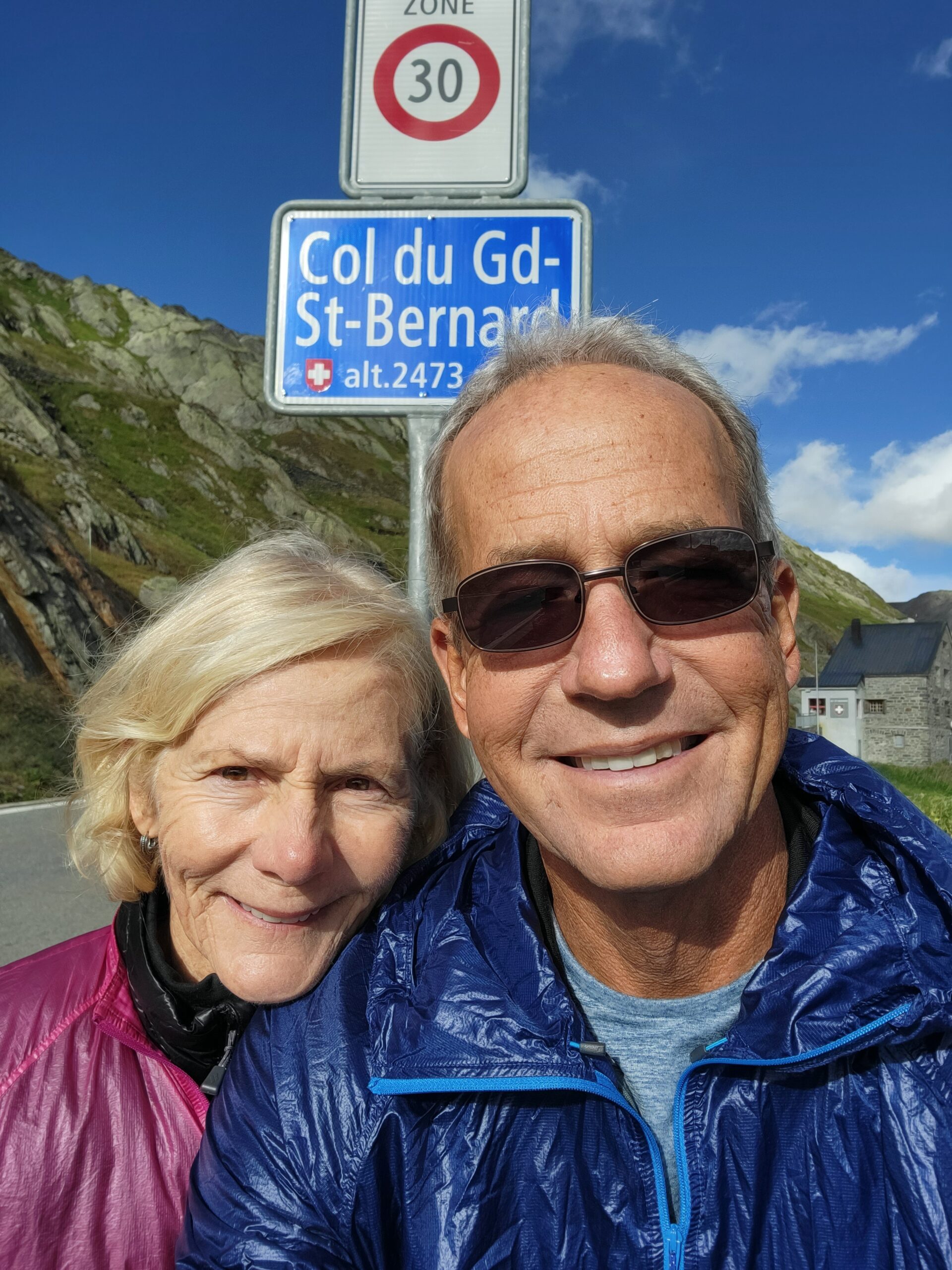
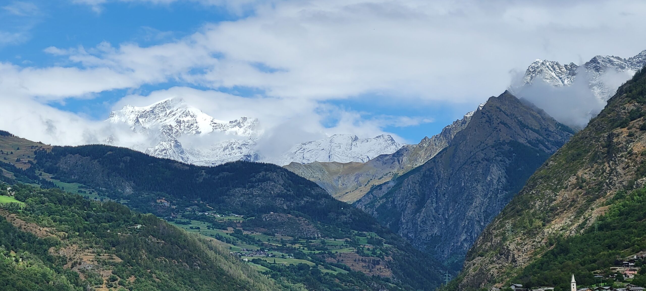
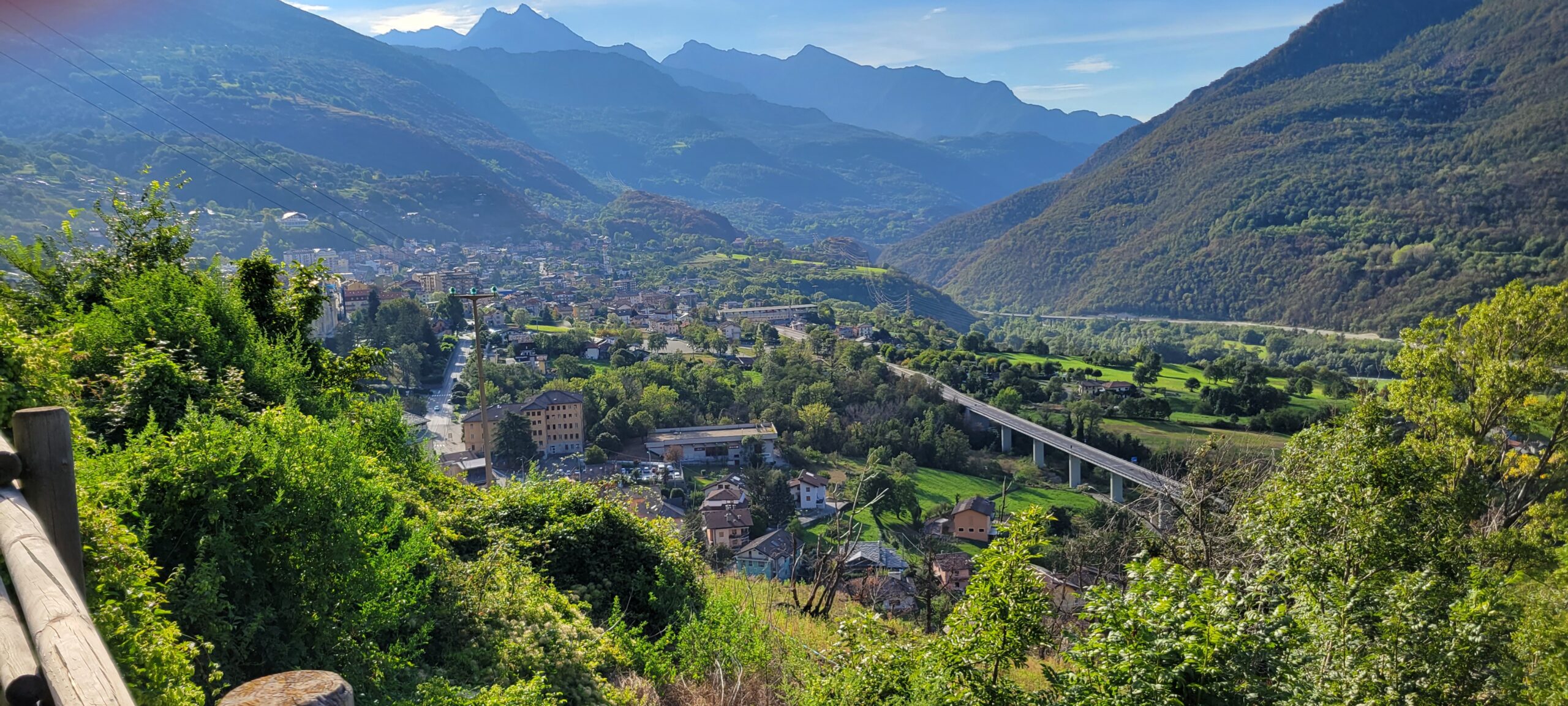
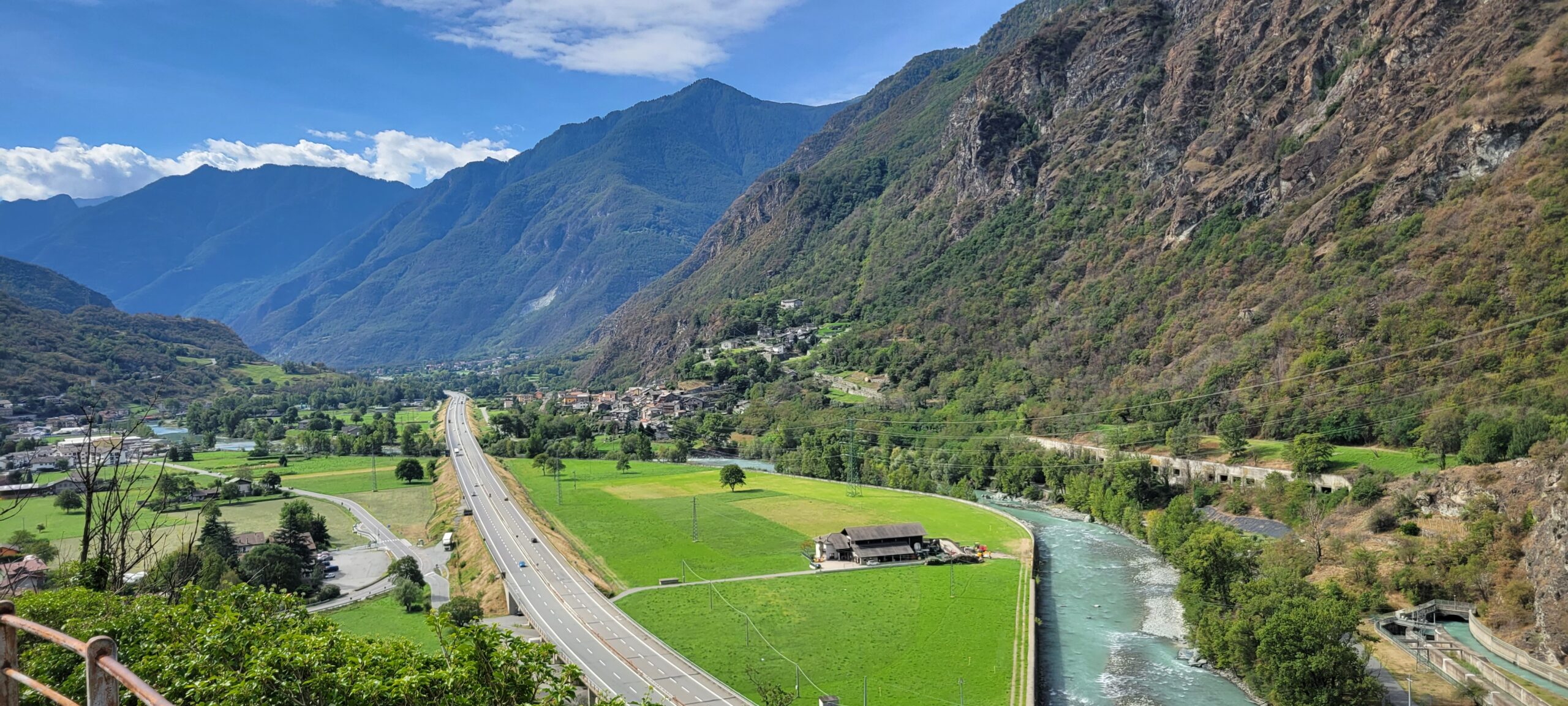
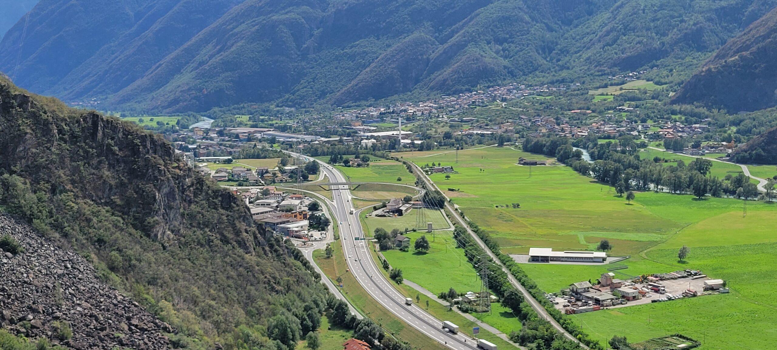
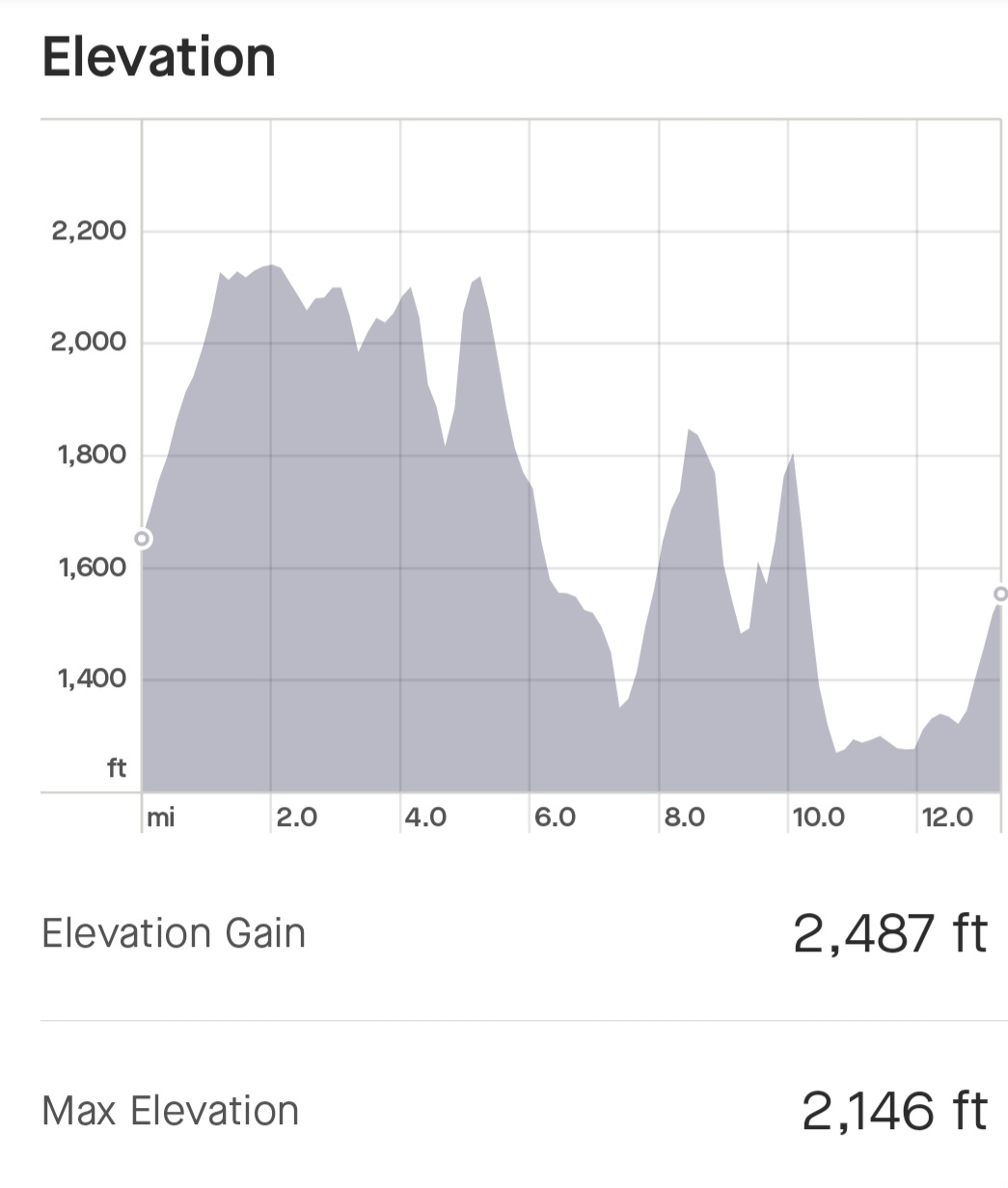
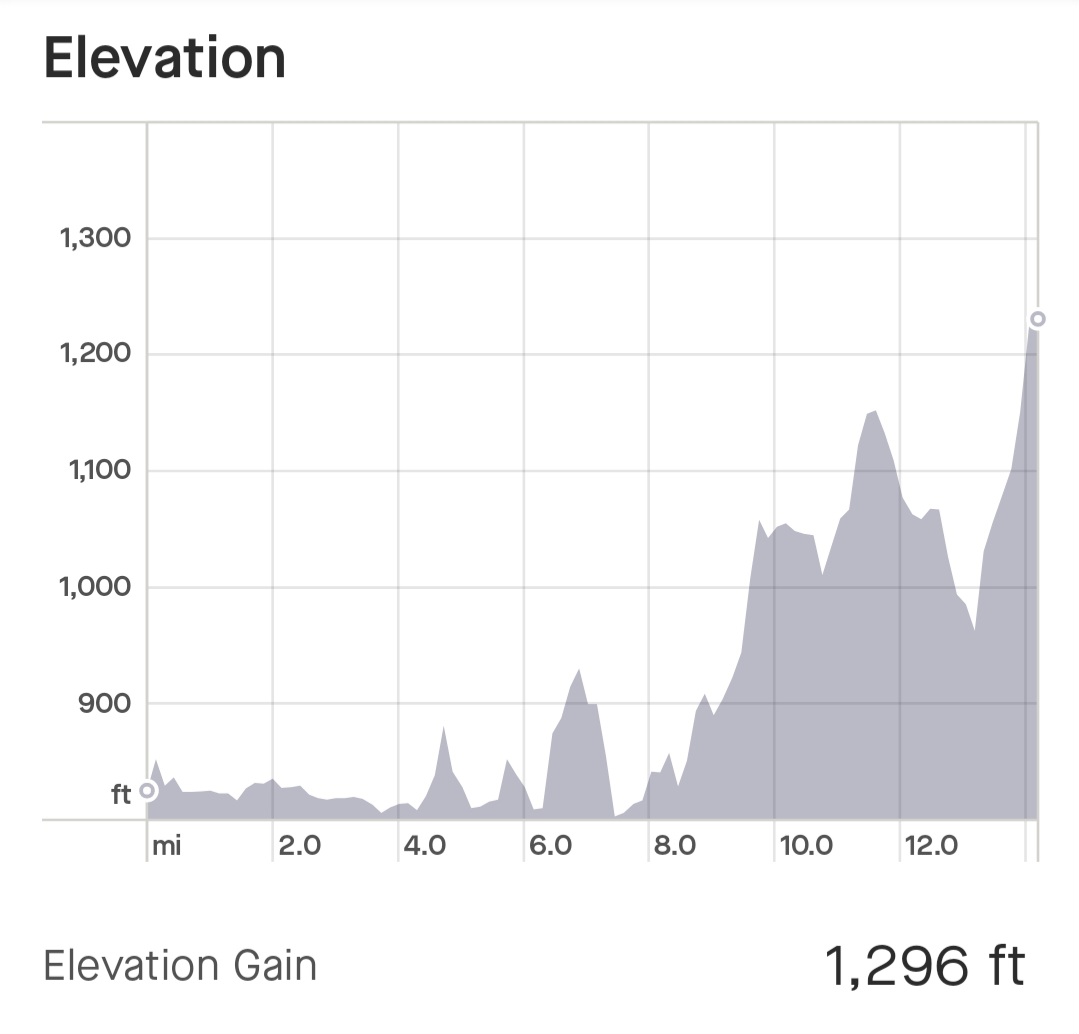
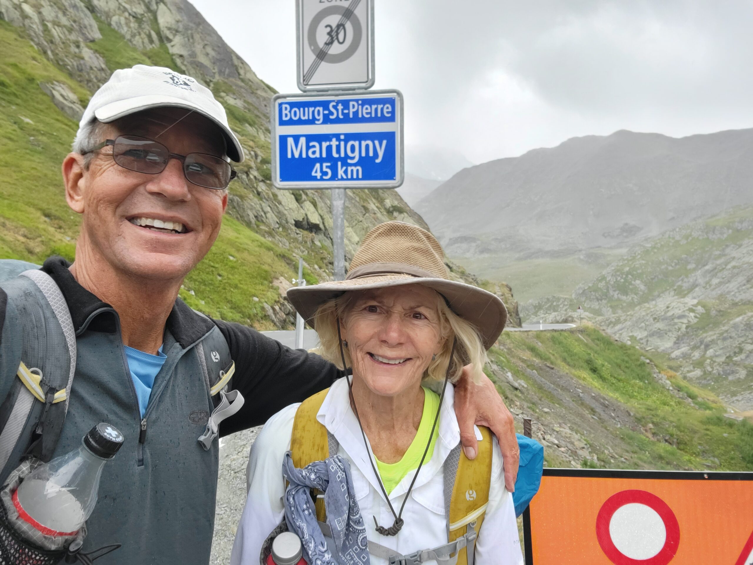
Today was 8 miles of hiking and 3,500′ of climbing! Totals are now 86 miles walked and 14,100′ climbed. Most importantly, we have reached the high point of our hike, at 8,175′ and are at the border with Italy!
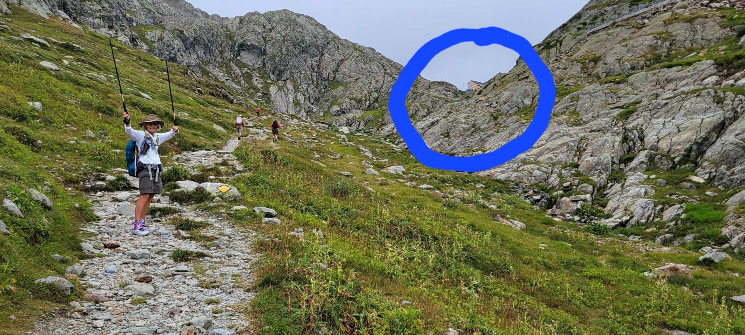
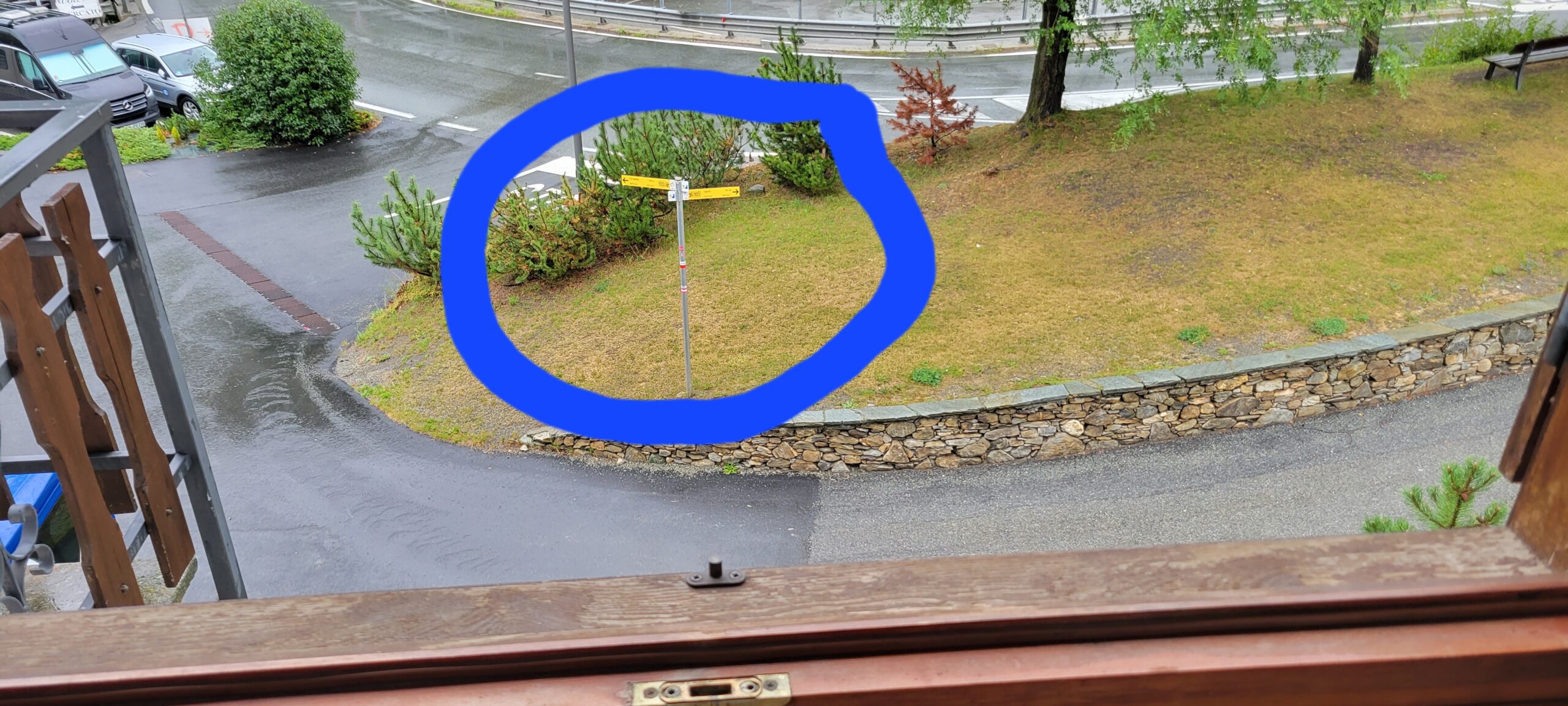
Several things to note about the above photo. 1. The BLUE circle highlights the buildings at the top of the pass … our first view of the top! 2. Diane is thankful! 3. There are several other hikers in the view. Interestingly, after a week of no others, the hikers were everywhere! A single guy from Vermont, a couple from Ft Lauderdale, another couple from London … and an assortment of others!
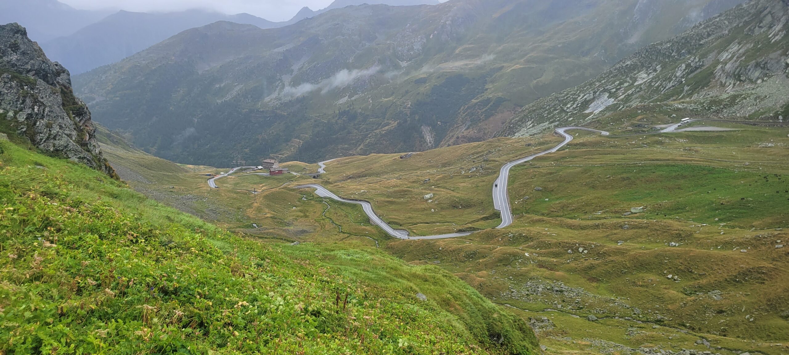
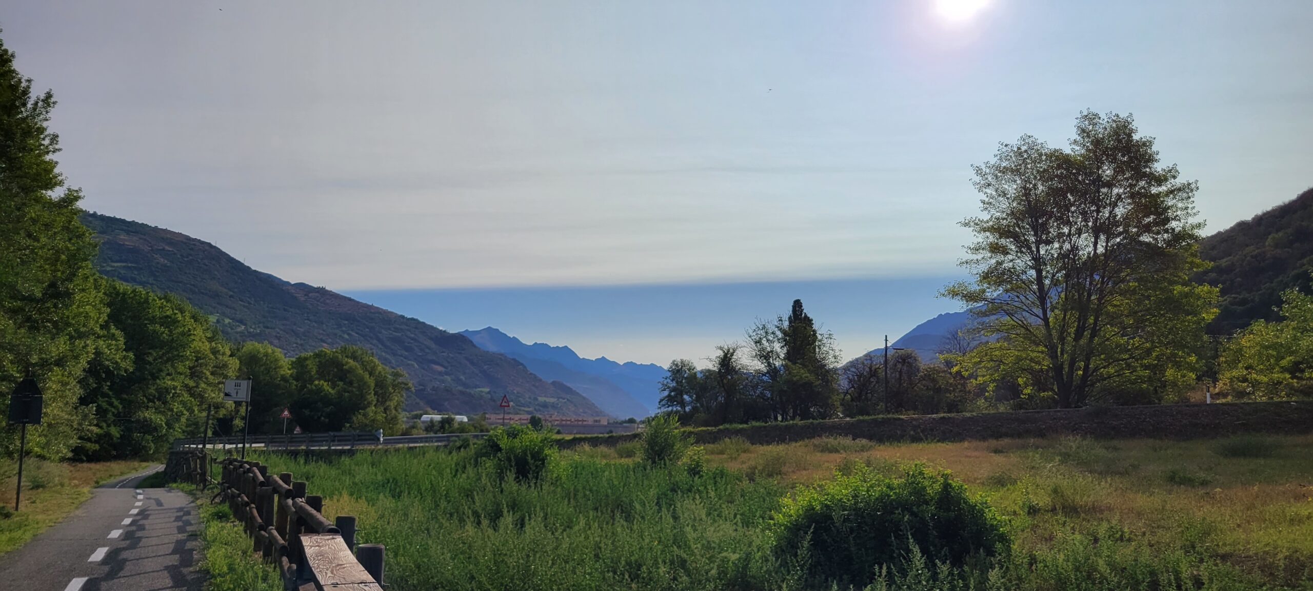
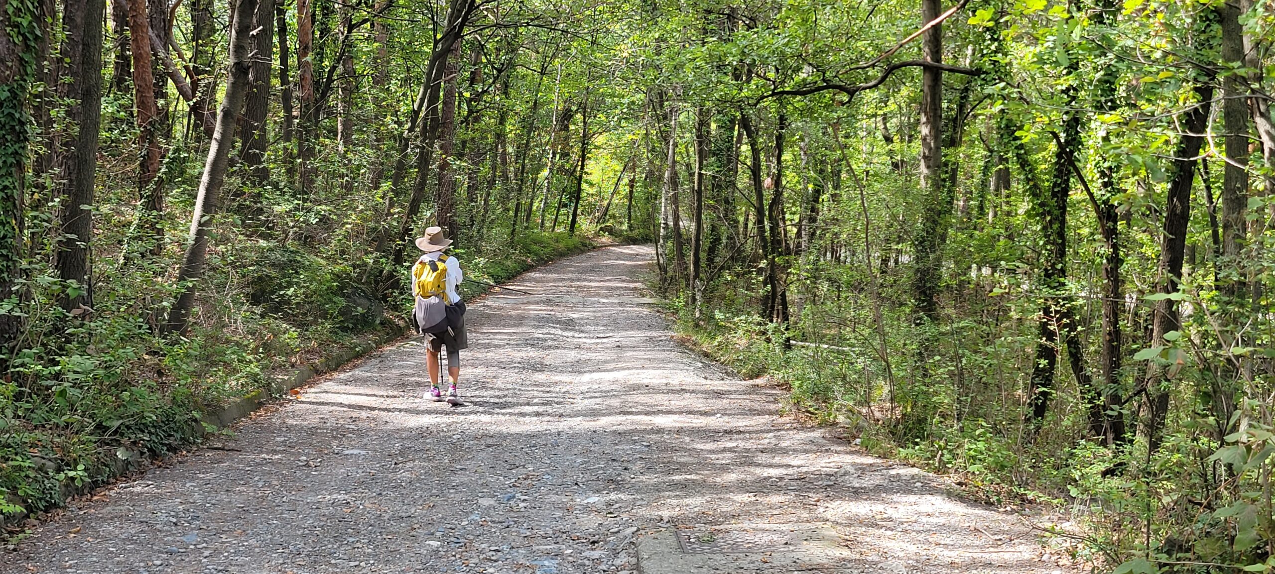
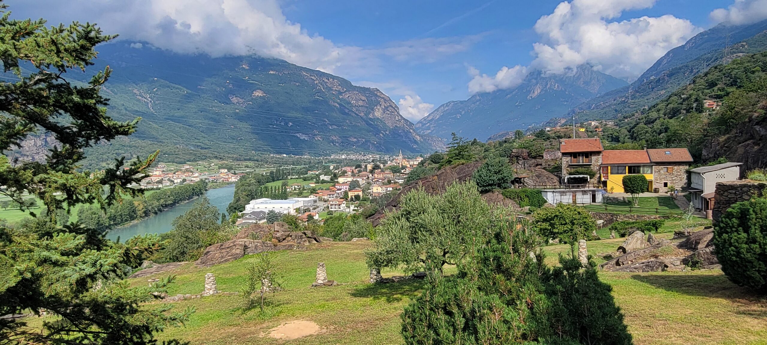
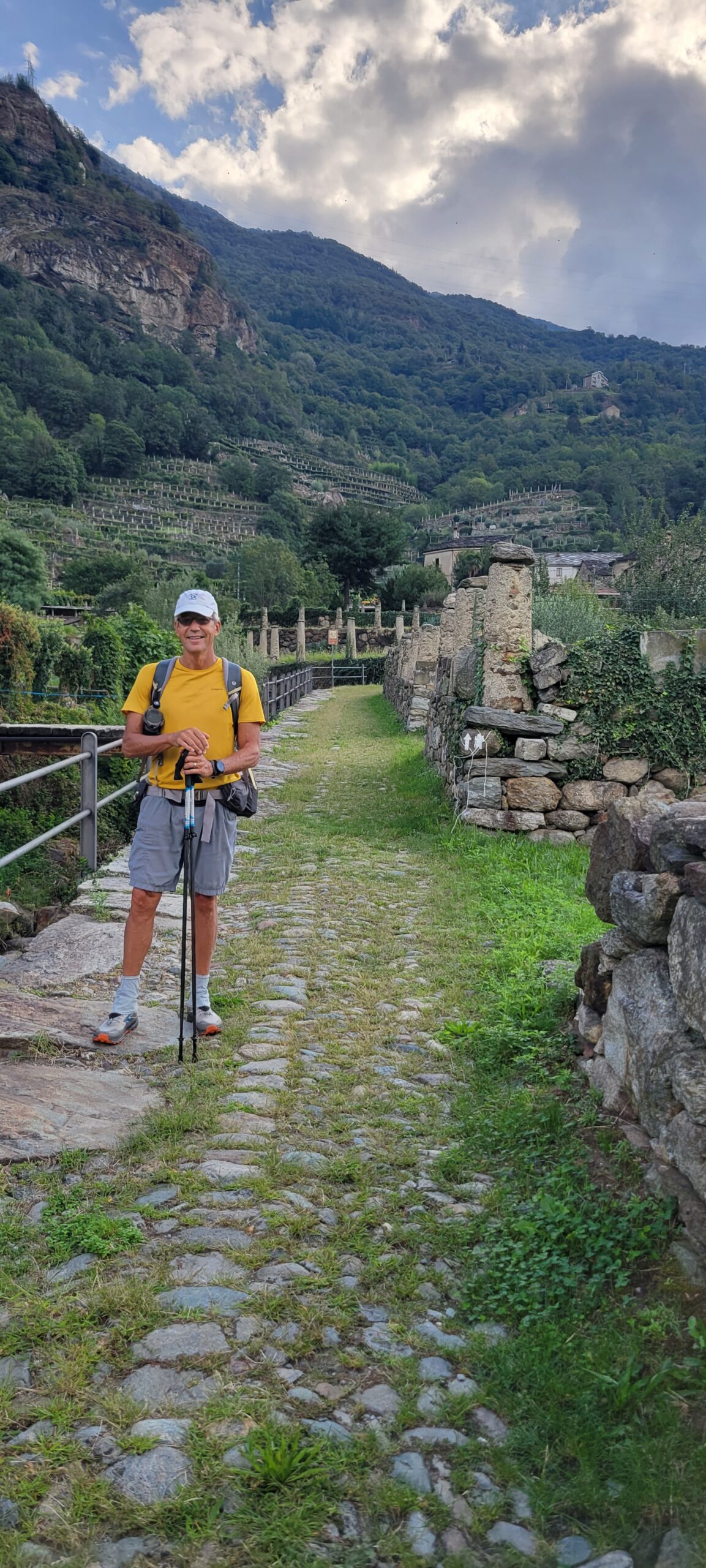
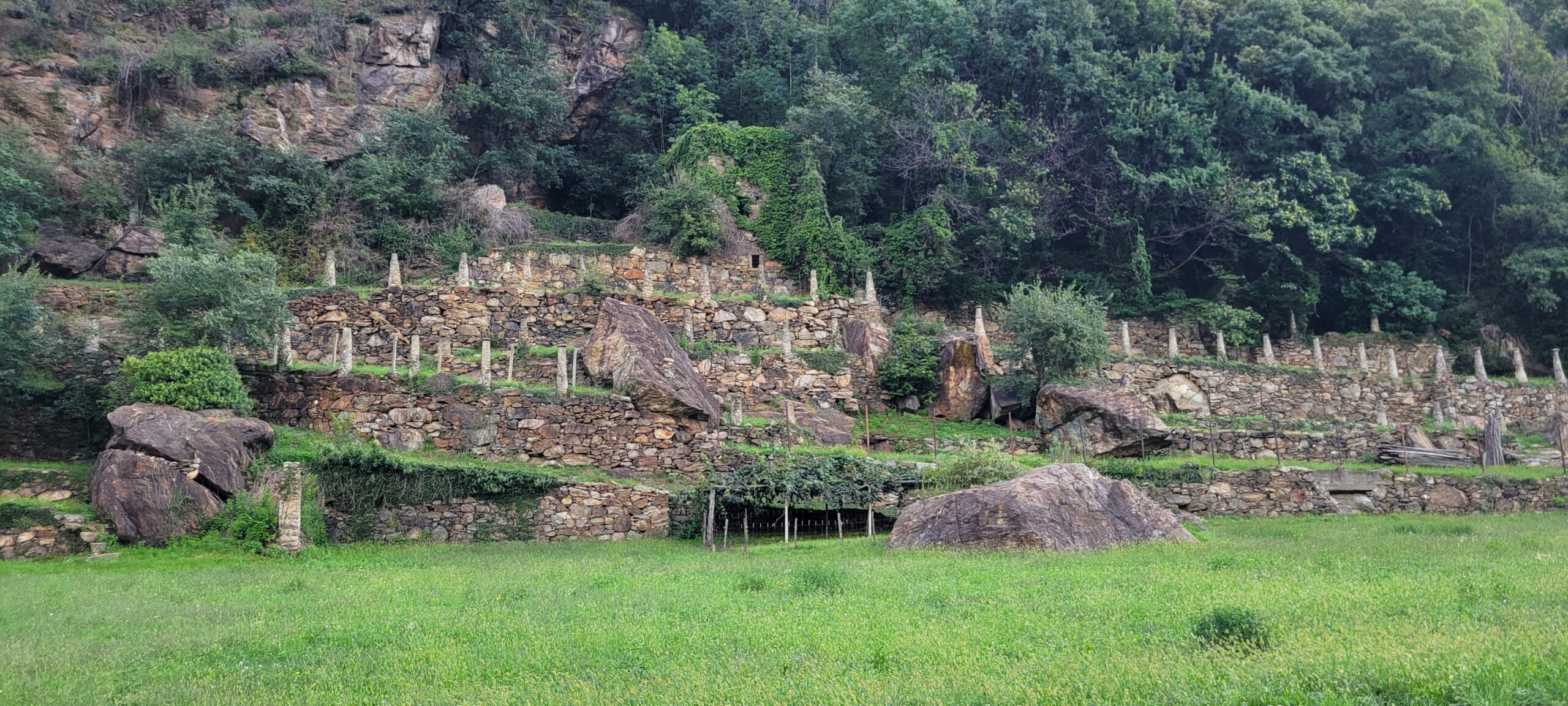
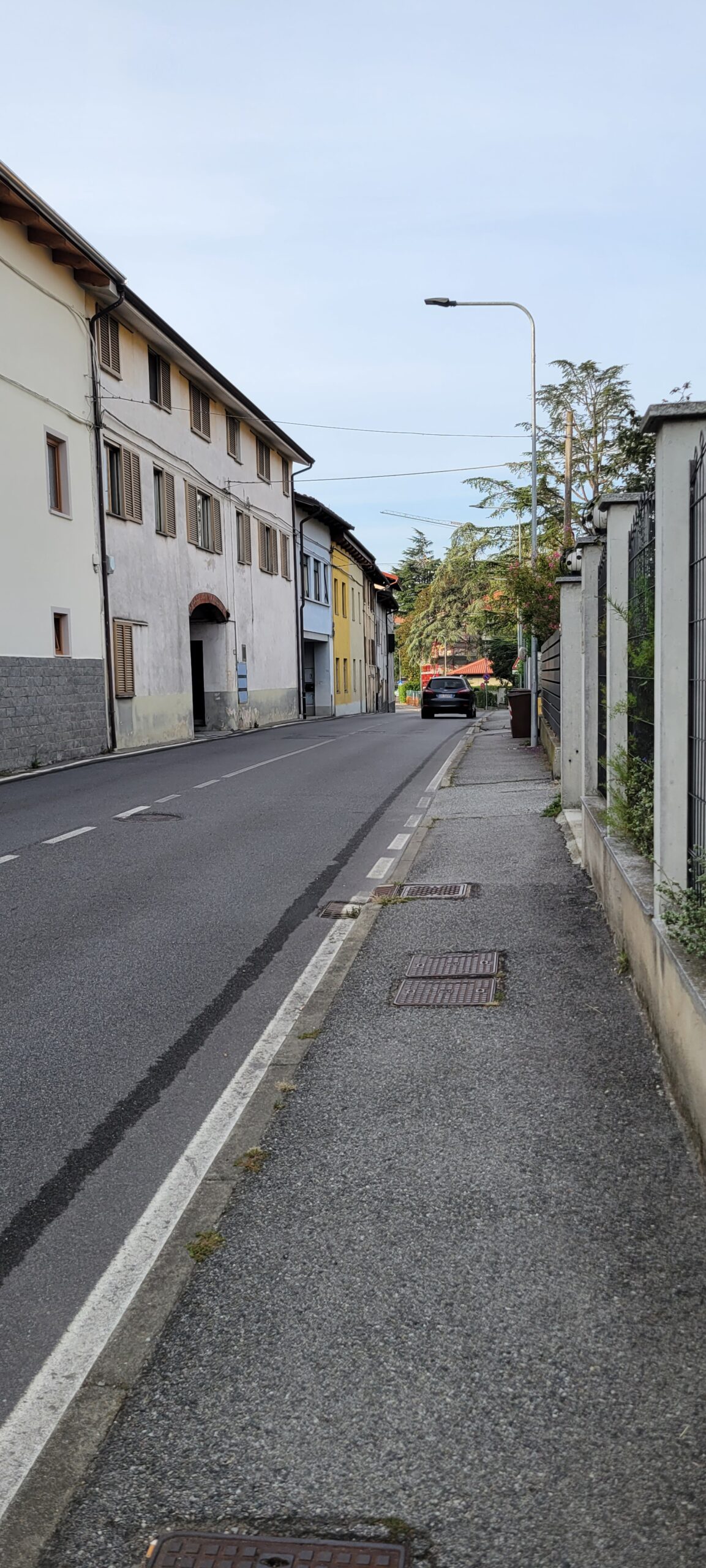
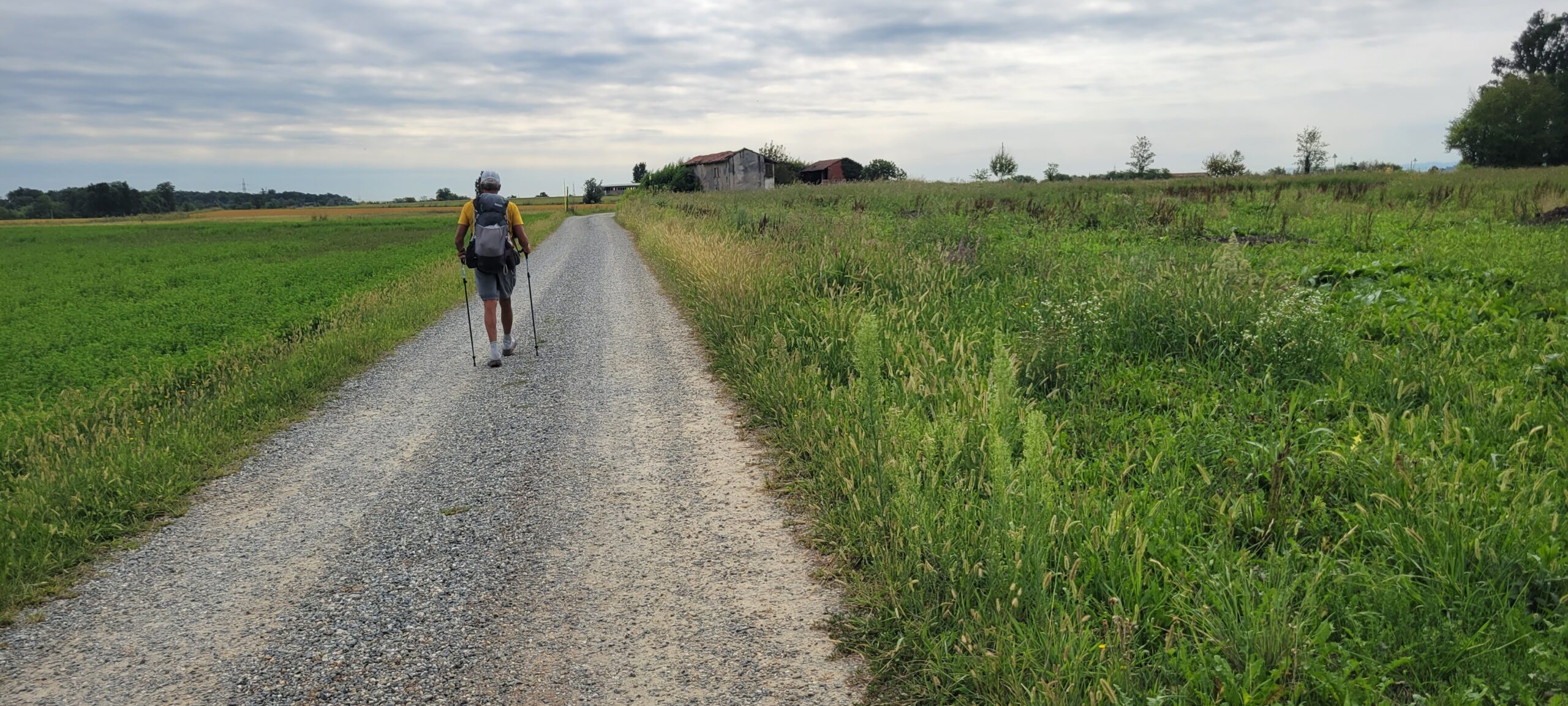
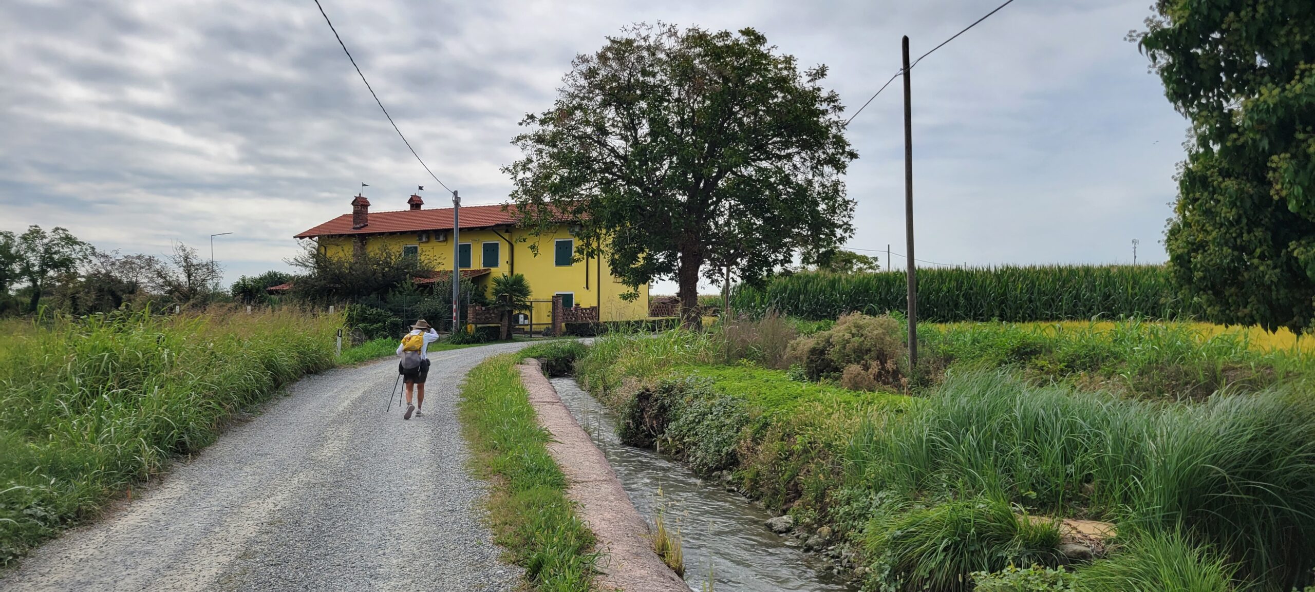
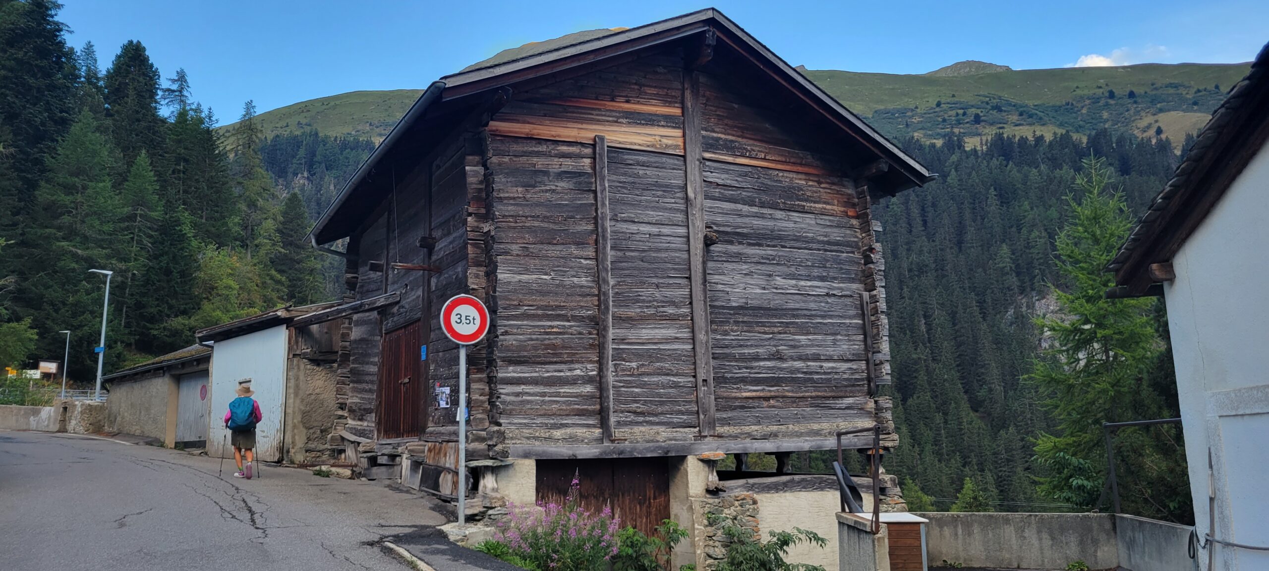
The hike itself was wonderful. Starting with the character-ladened barns of the area.
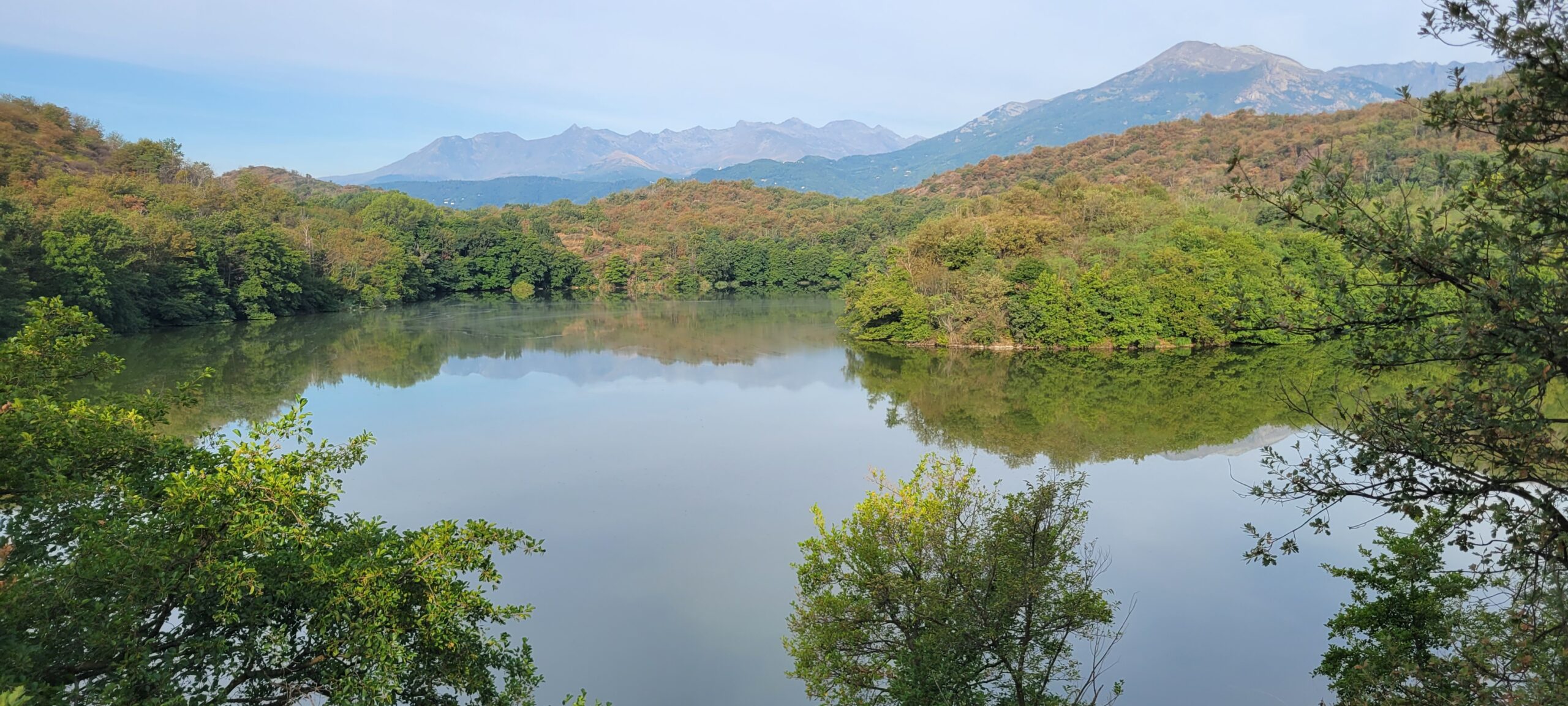
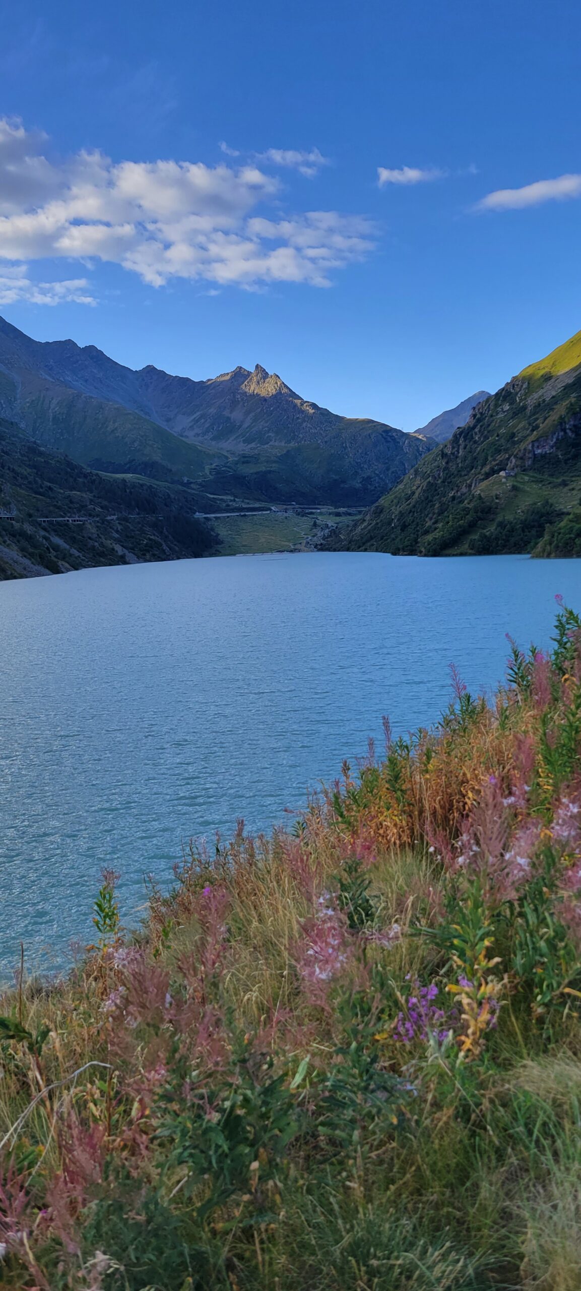
The lakes
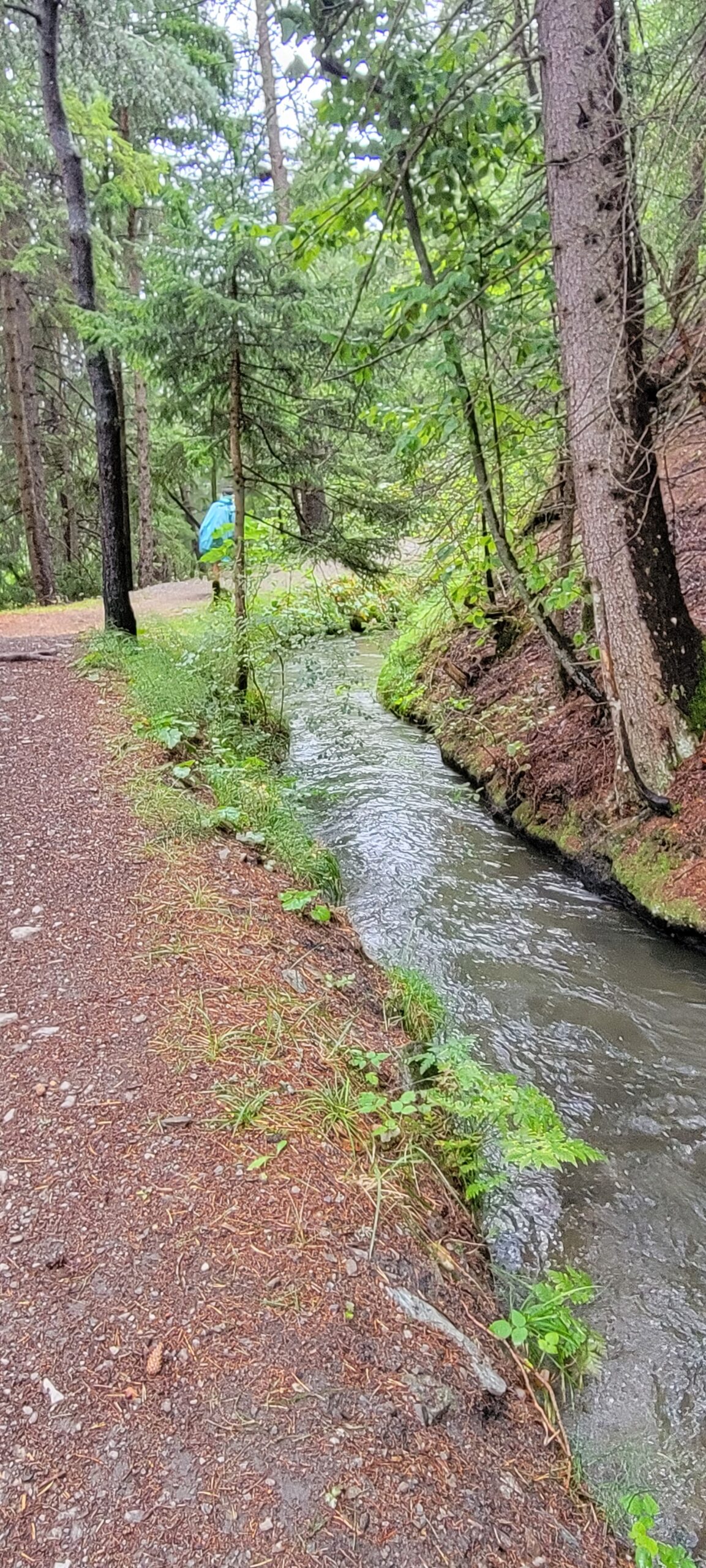
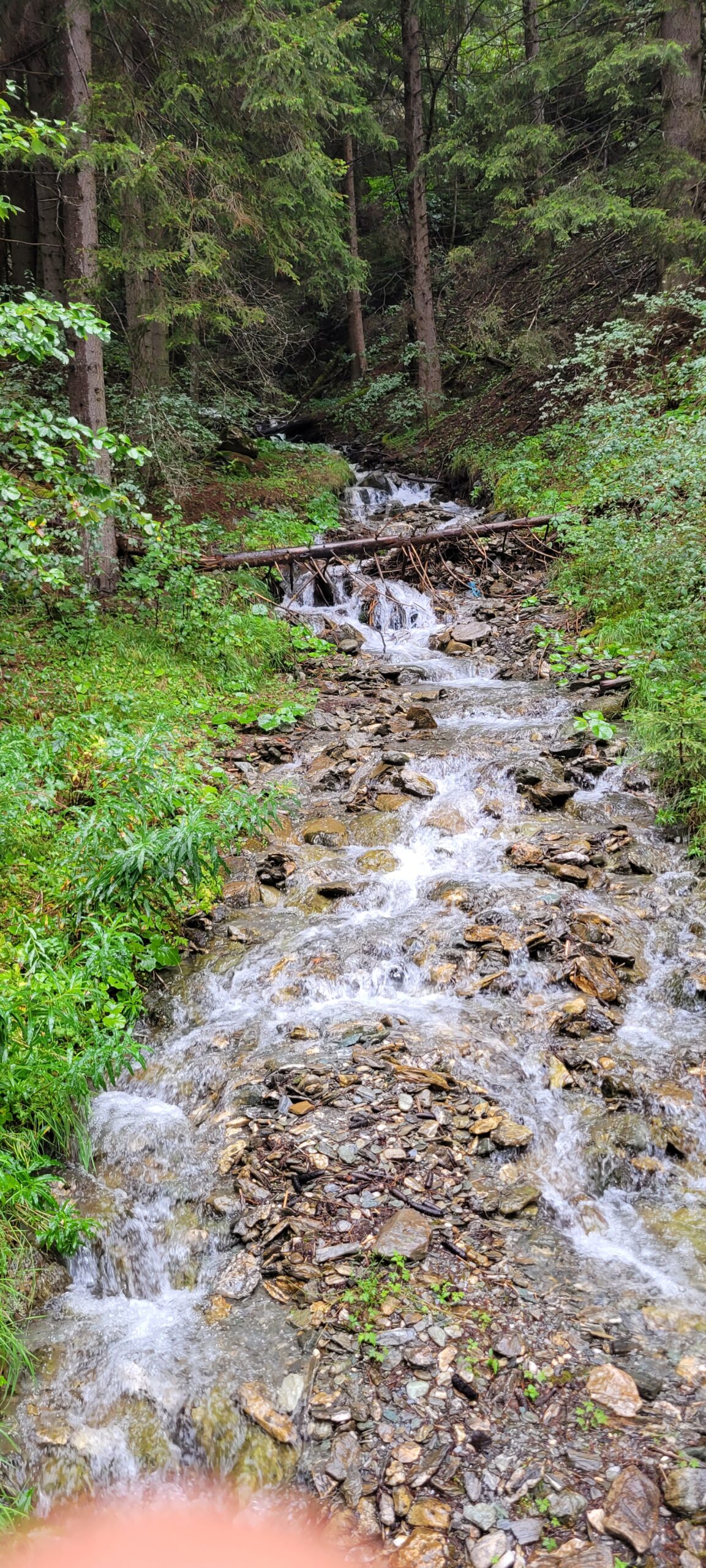
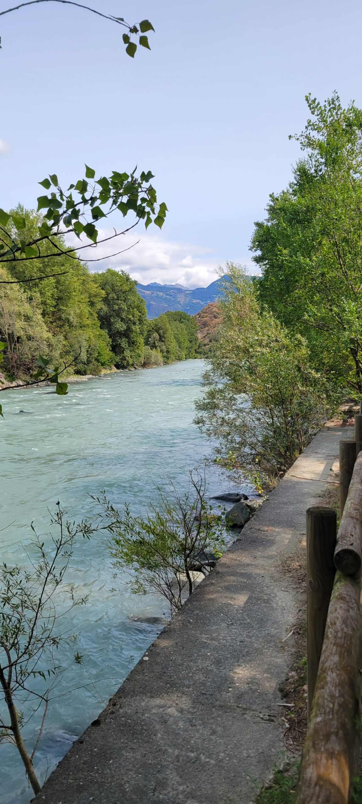
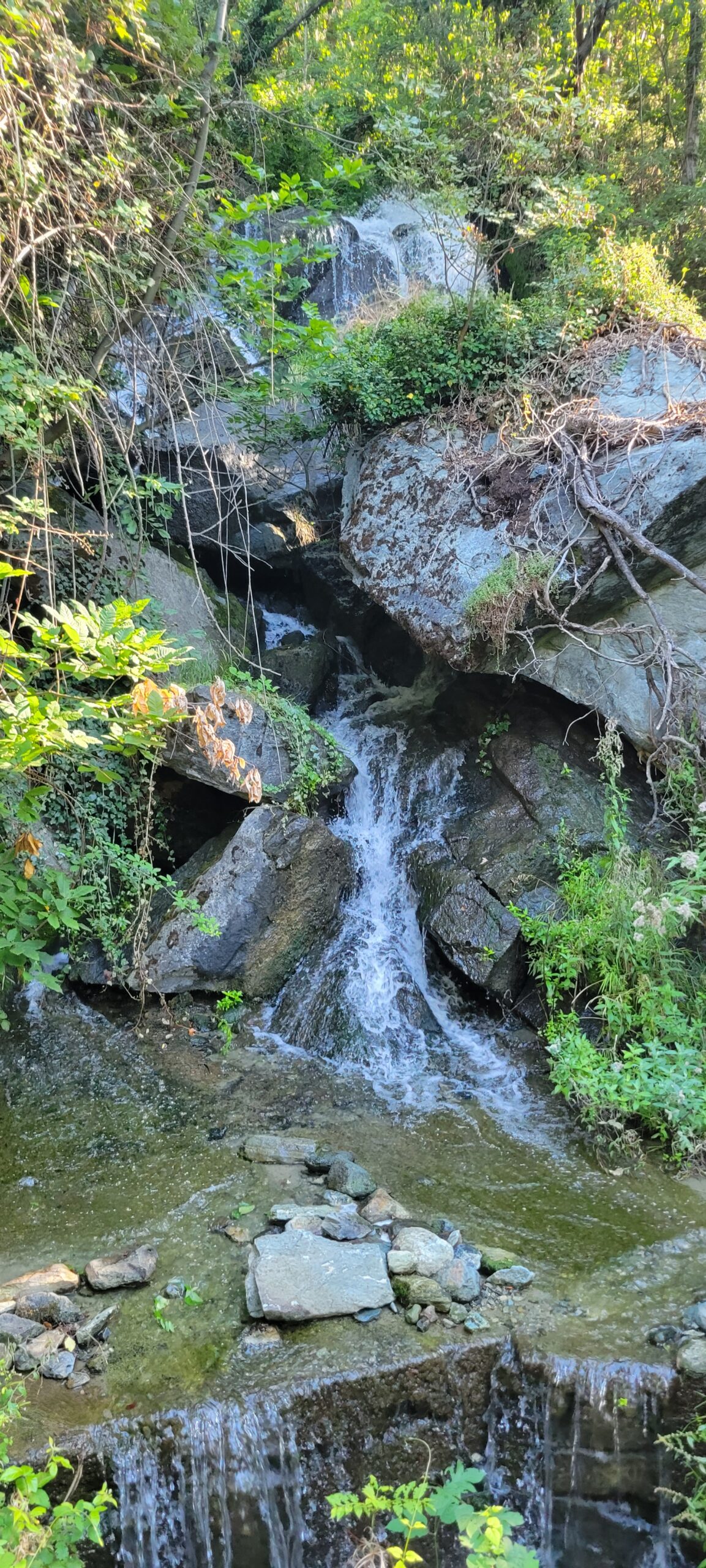
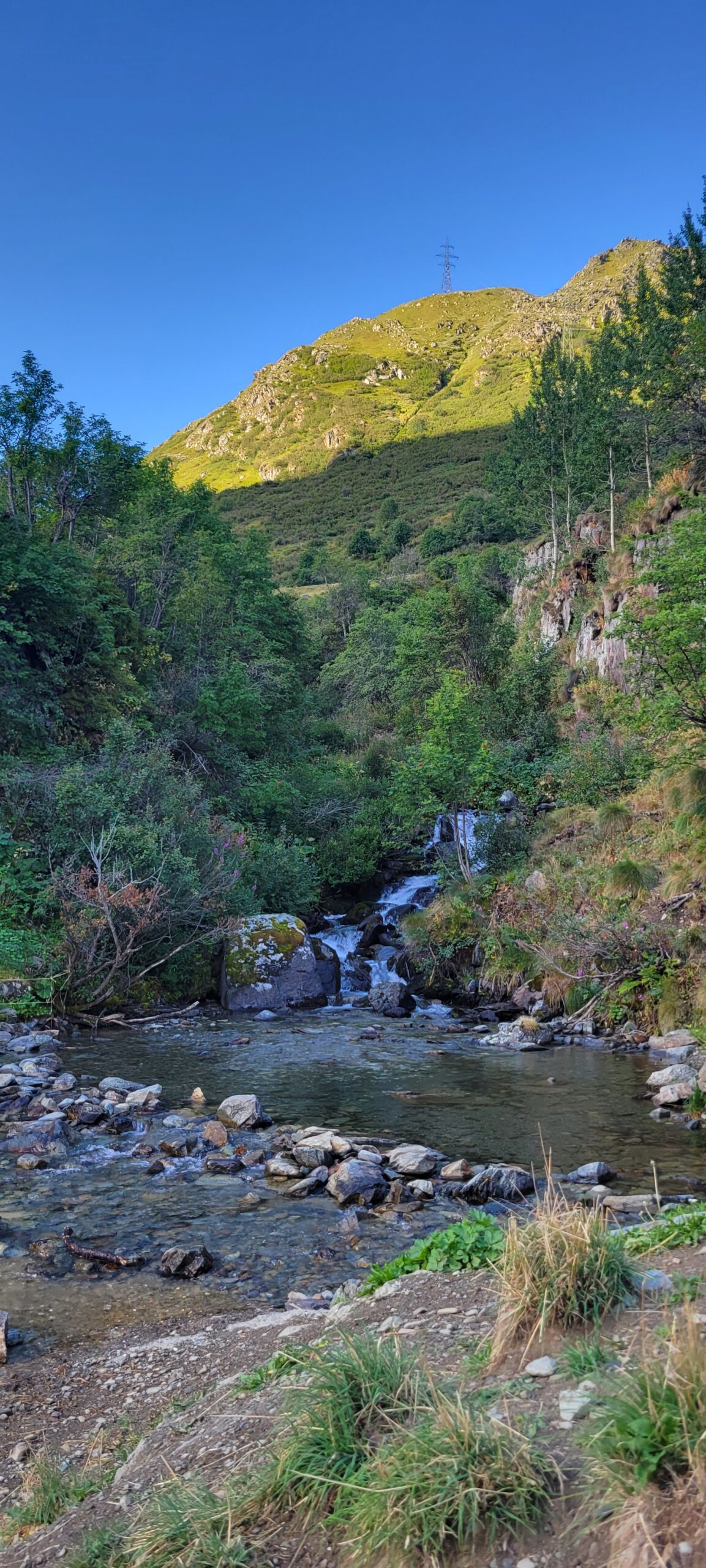
The streams
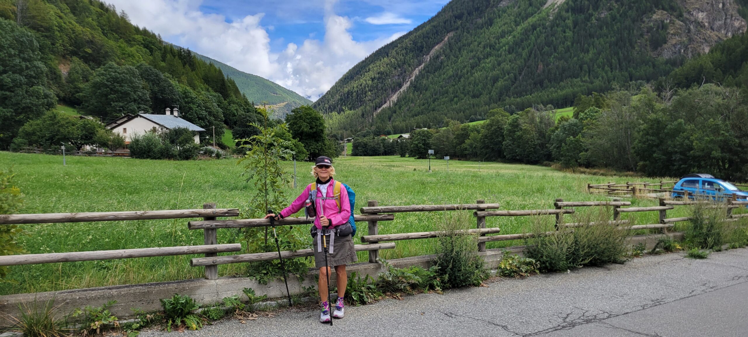
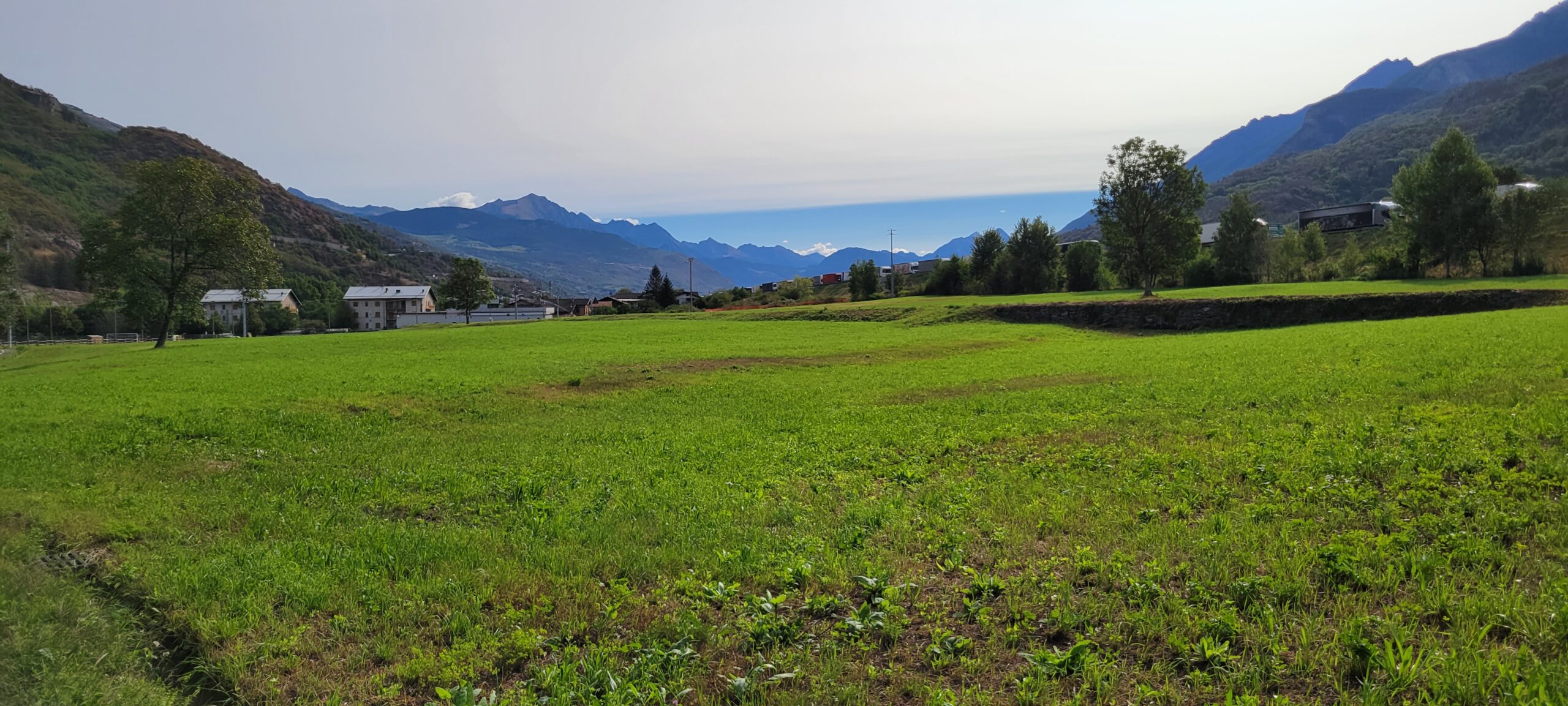
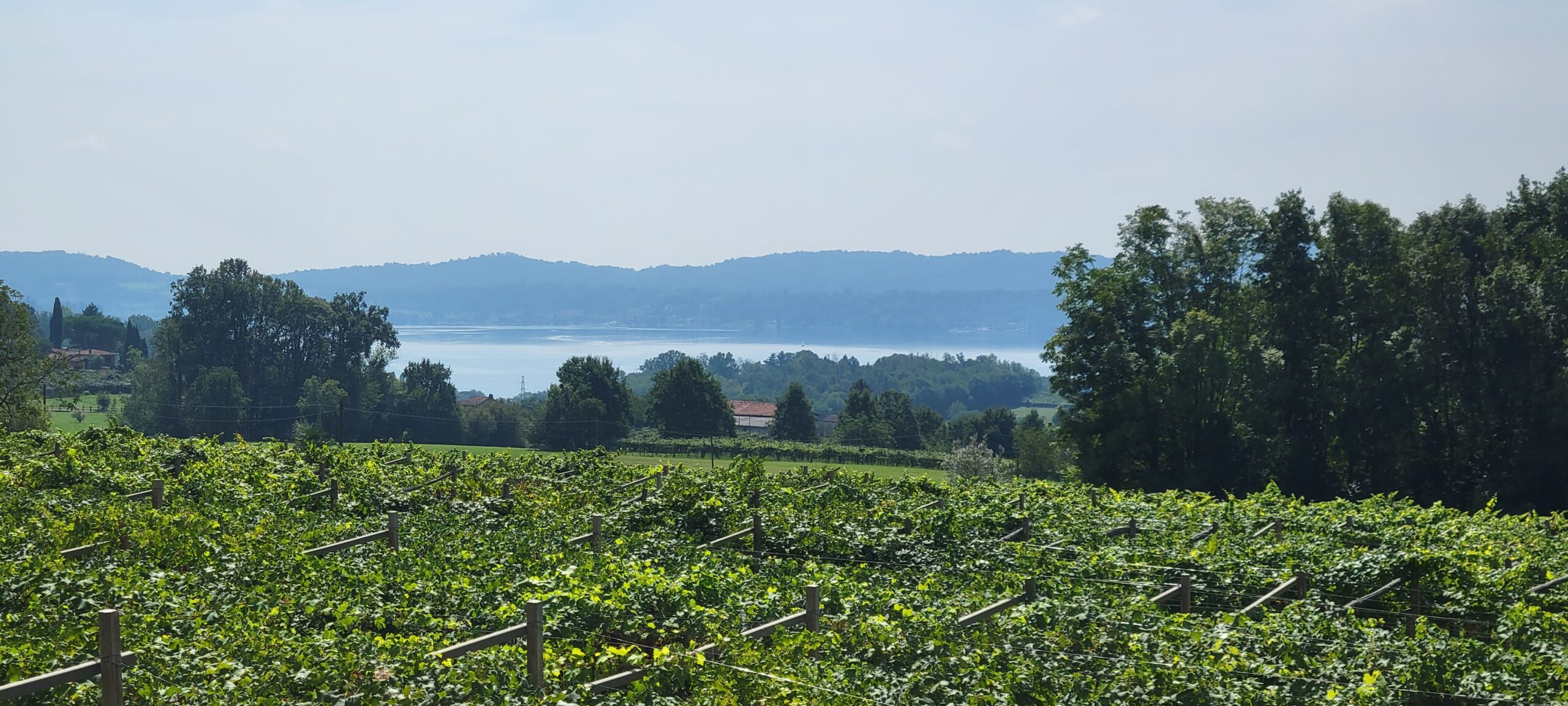
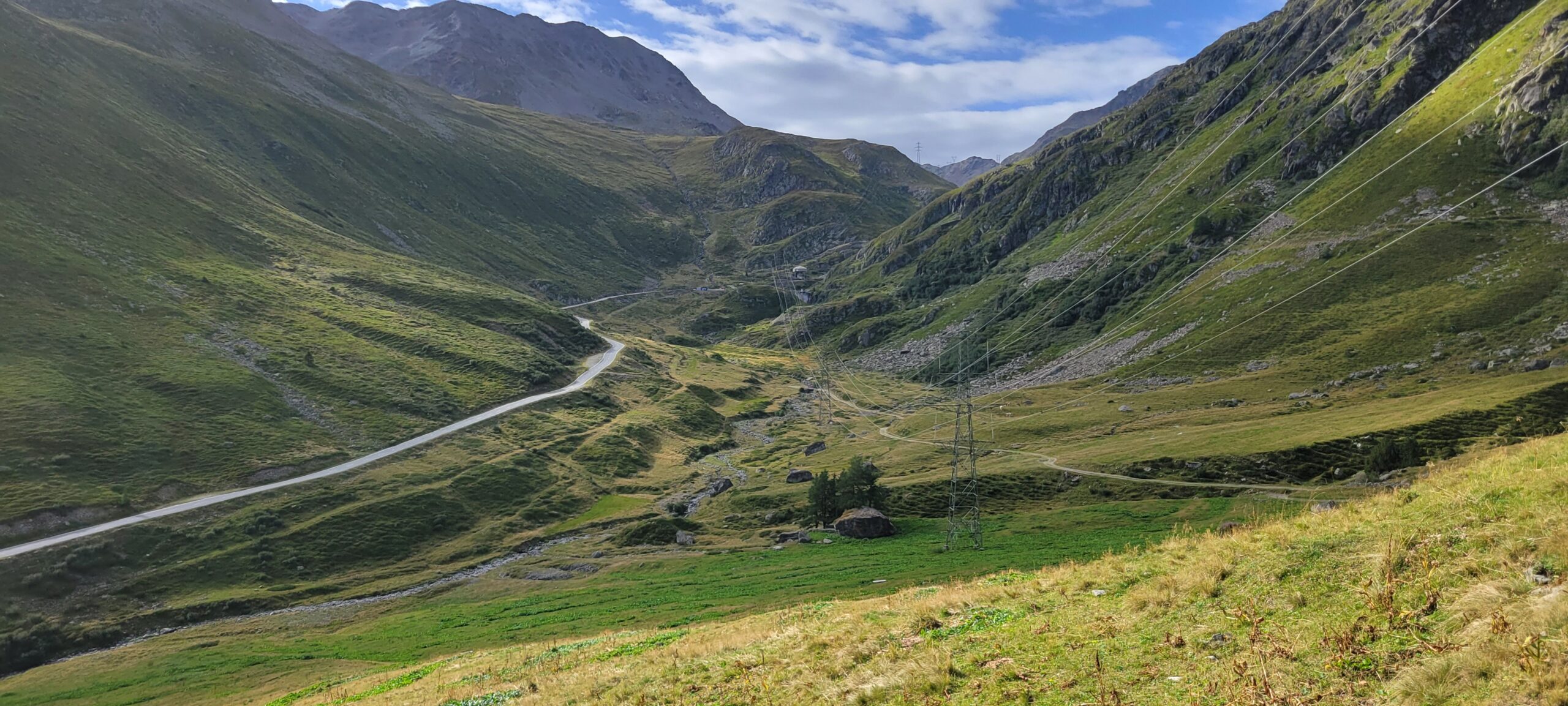
The meadows
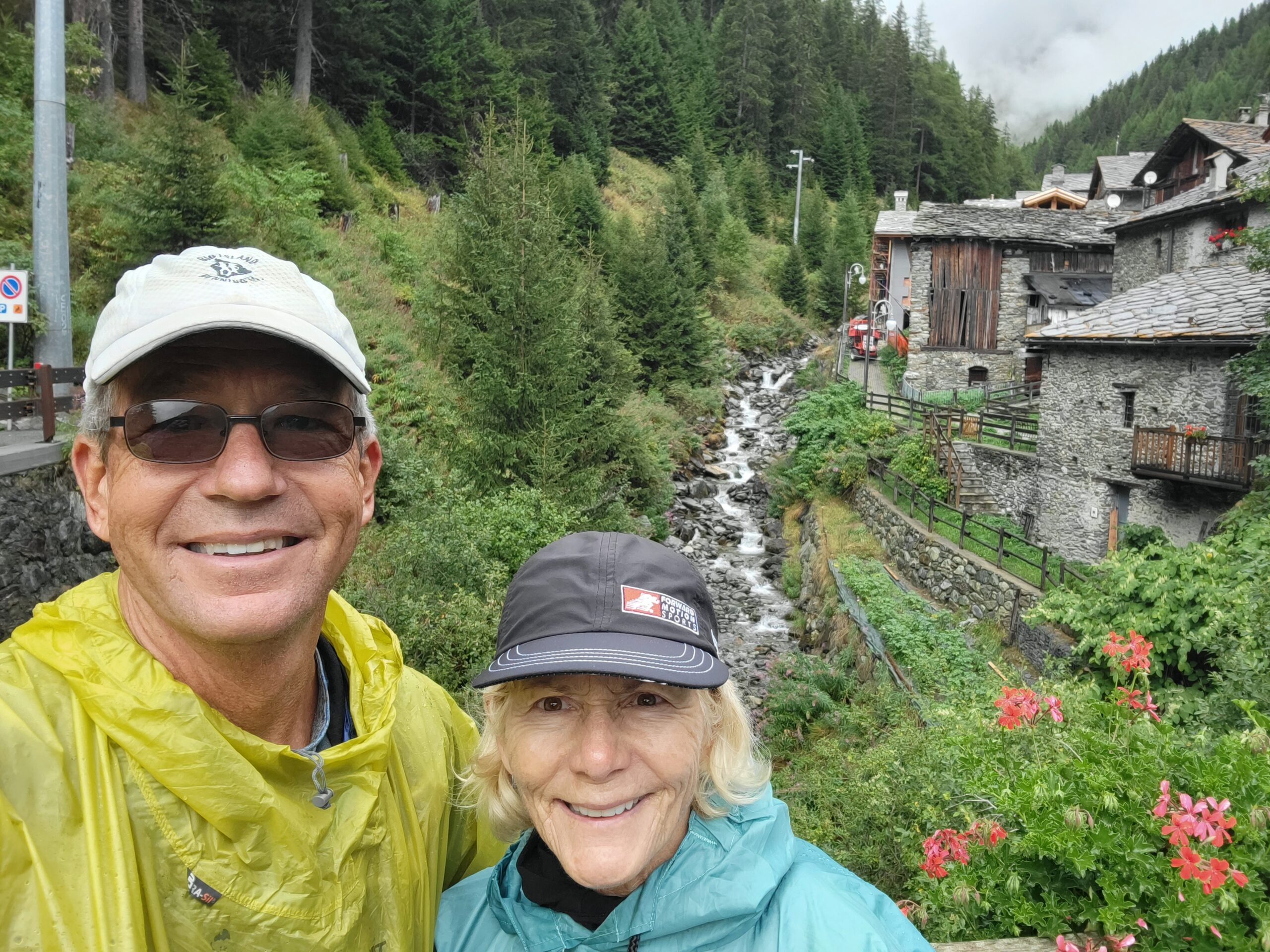
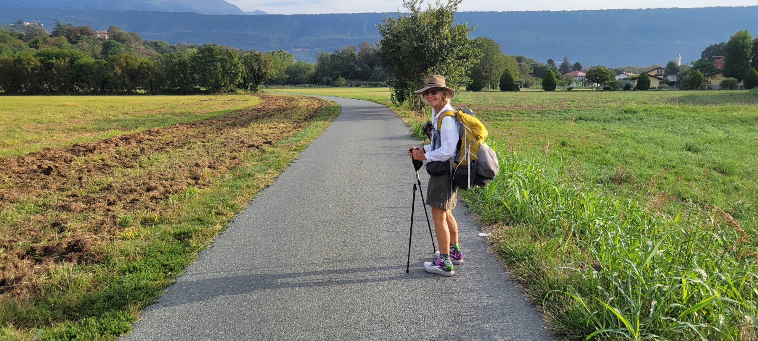
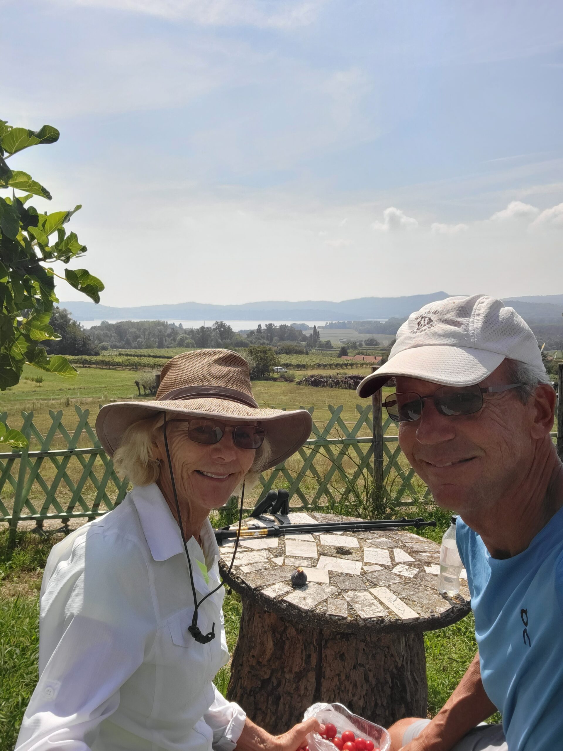
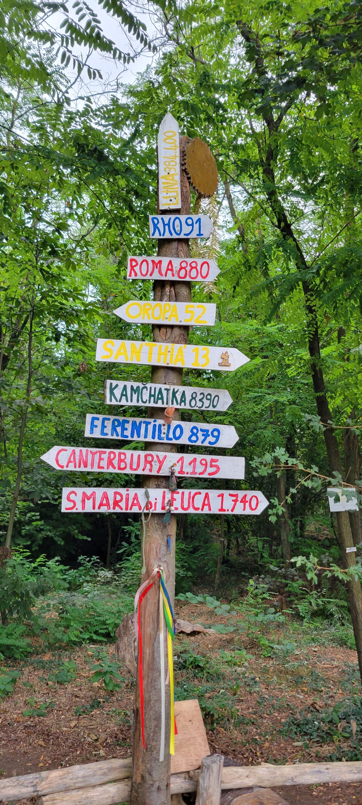
And the company!

And so we made it!
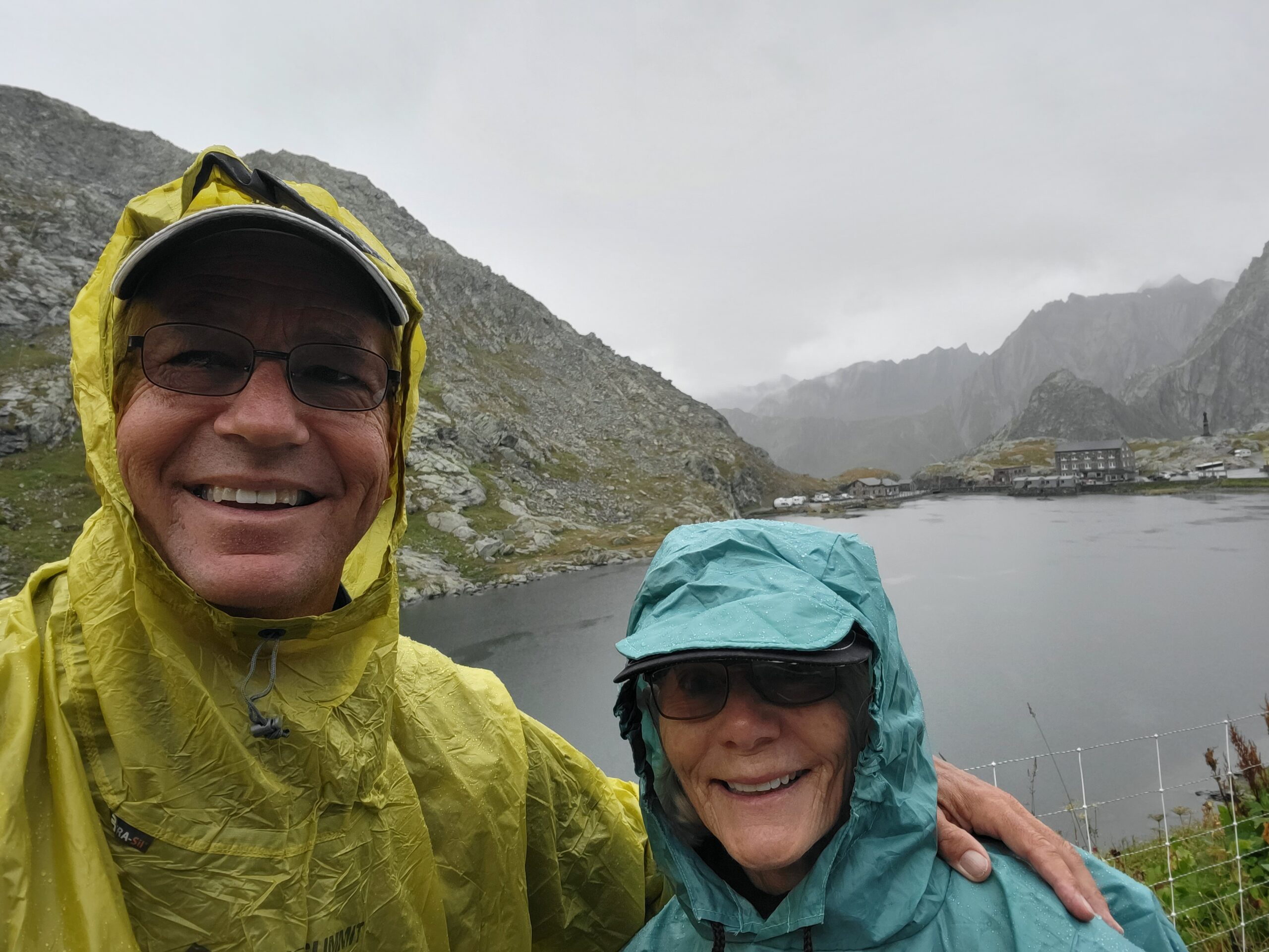
We knew there was a good chance of rain mid-day, so we started early. We arrived at the top just before noon and … just before it started to pour! We are thankful for travel mercies!
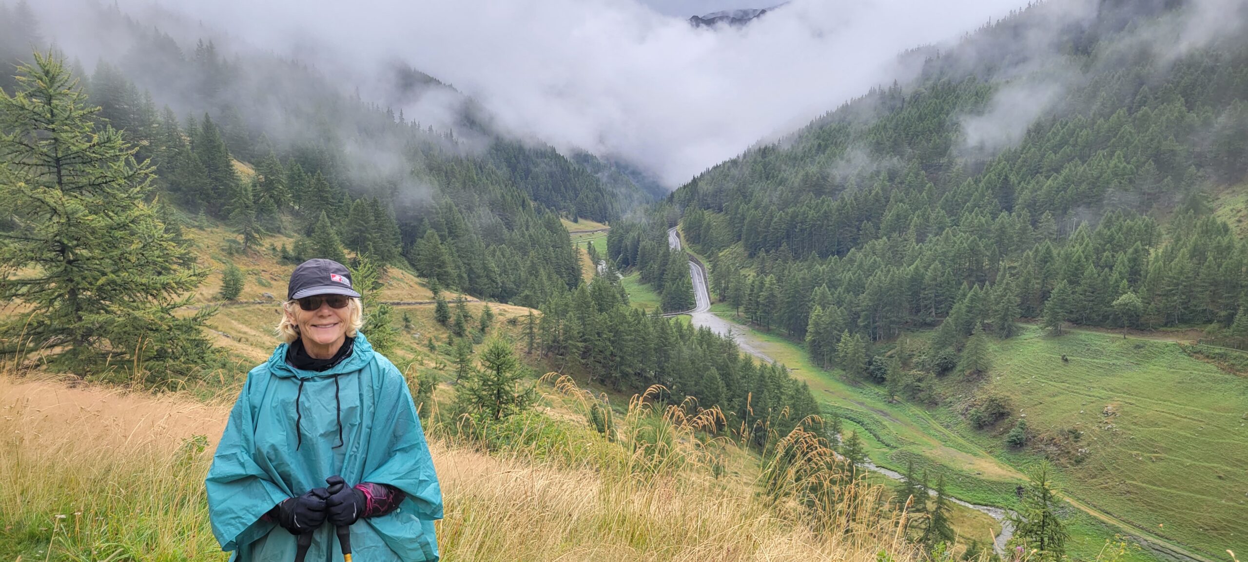
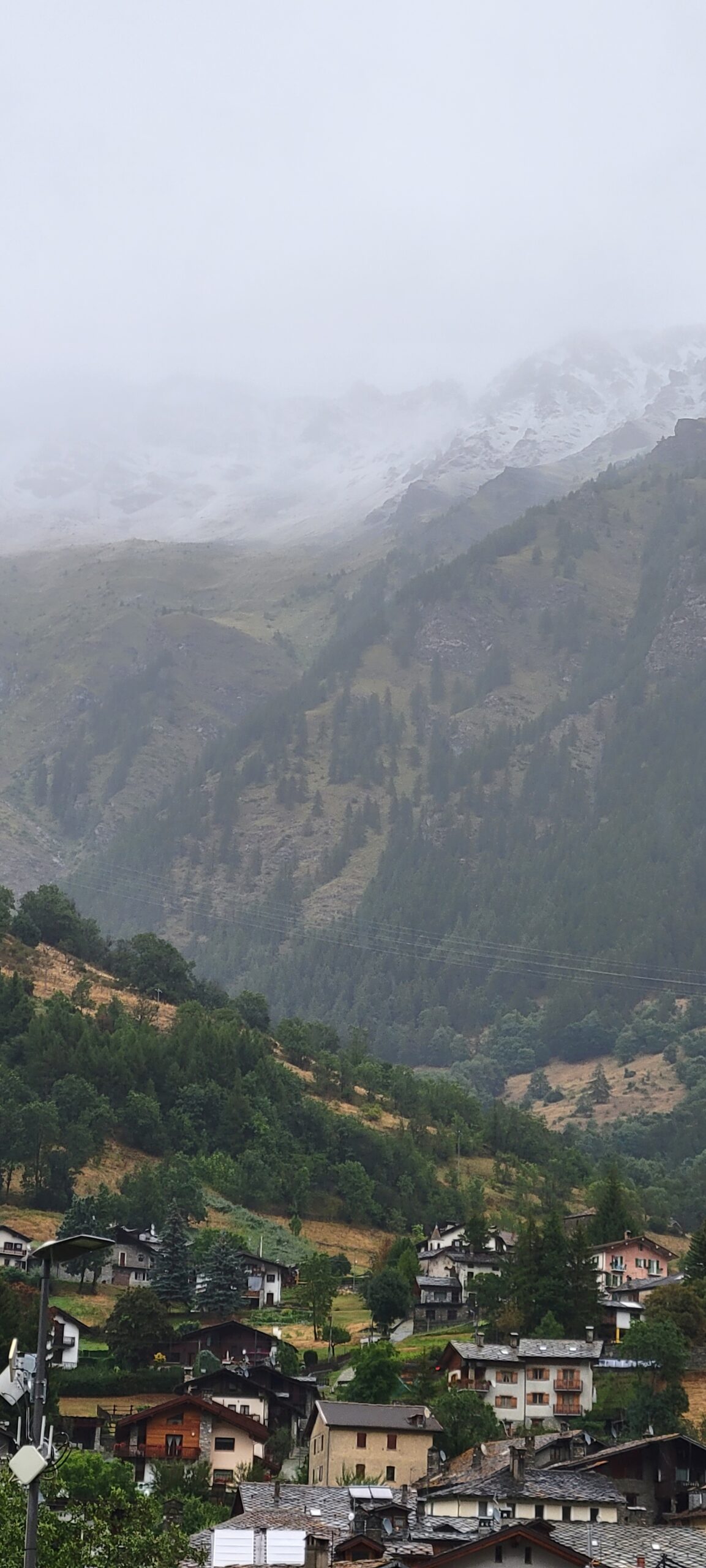
So, speaking of weather; the weather is changing! From nearly 100 F for about a week, it’s now cold! (50’s). When we checked the next several days … it was disheartening!
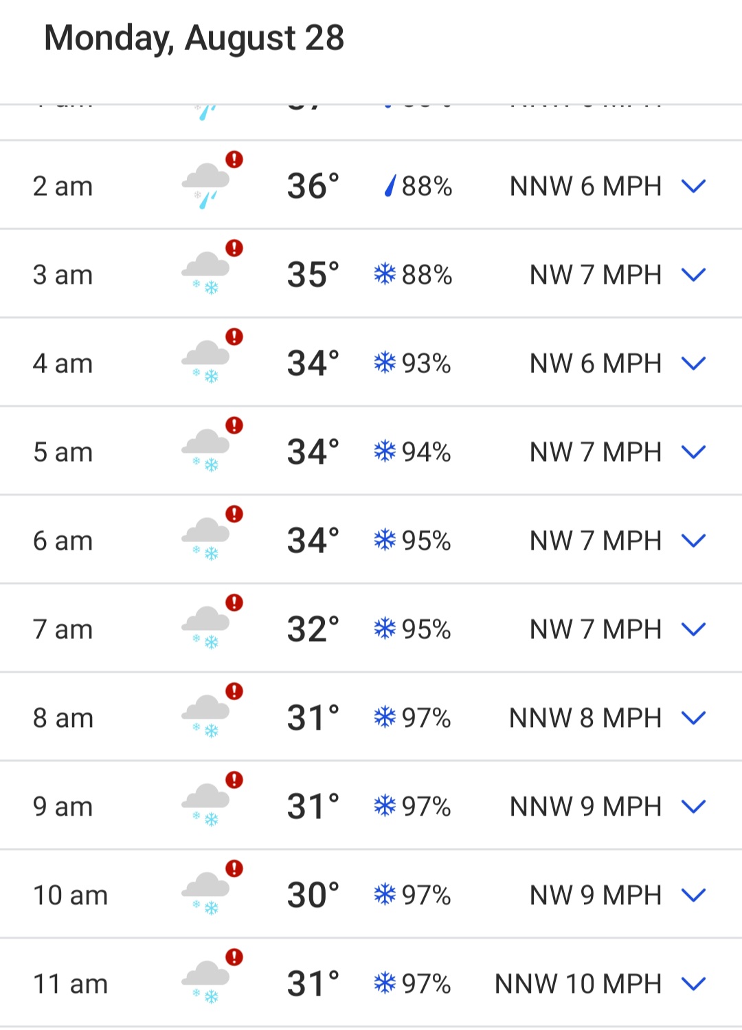
If you look to the right of the temperatures, you’ll see SNOWFLAKES. Yep, it’s gonna snow here on Monday! Our plan is to hike out tomorrow, descending 4,000′ (in 45 F weather), to get down to the warmer lands! Yikes!
We checked the weather throughout Switzerland and this is a big cold front hitting the area. By going down in elevation, and south (to Italy) we’ll miss the worst of this.
It’s all an adventure!