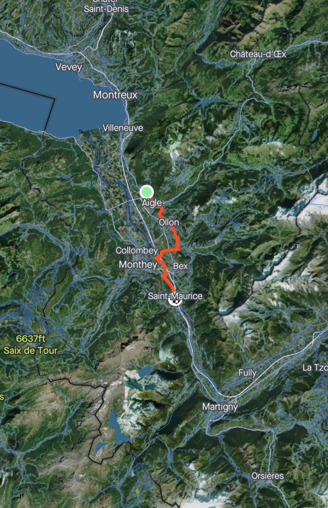
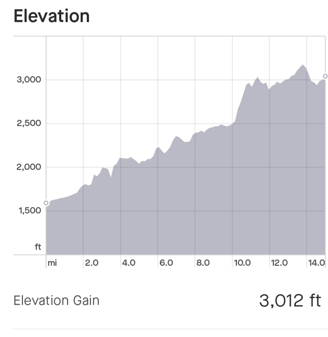
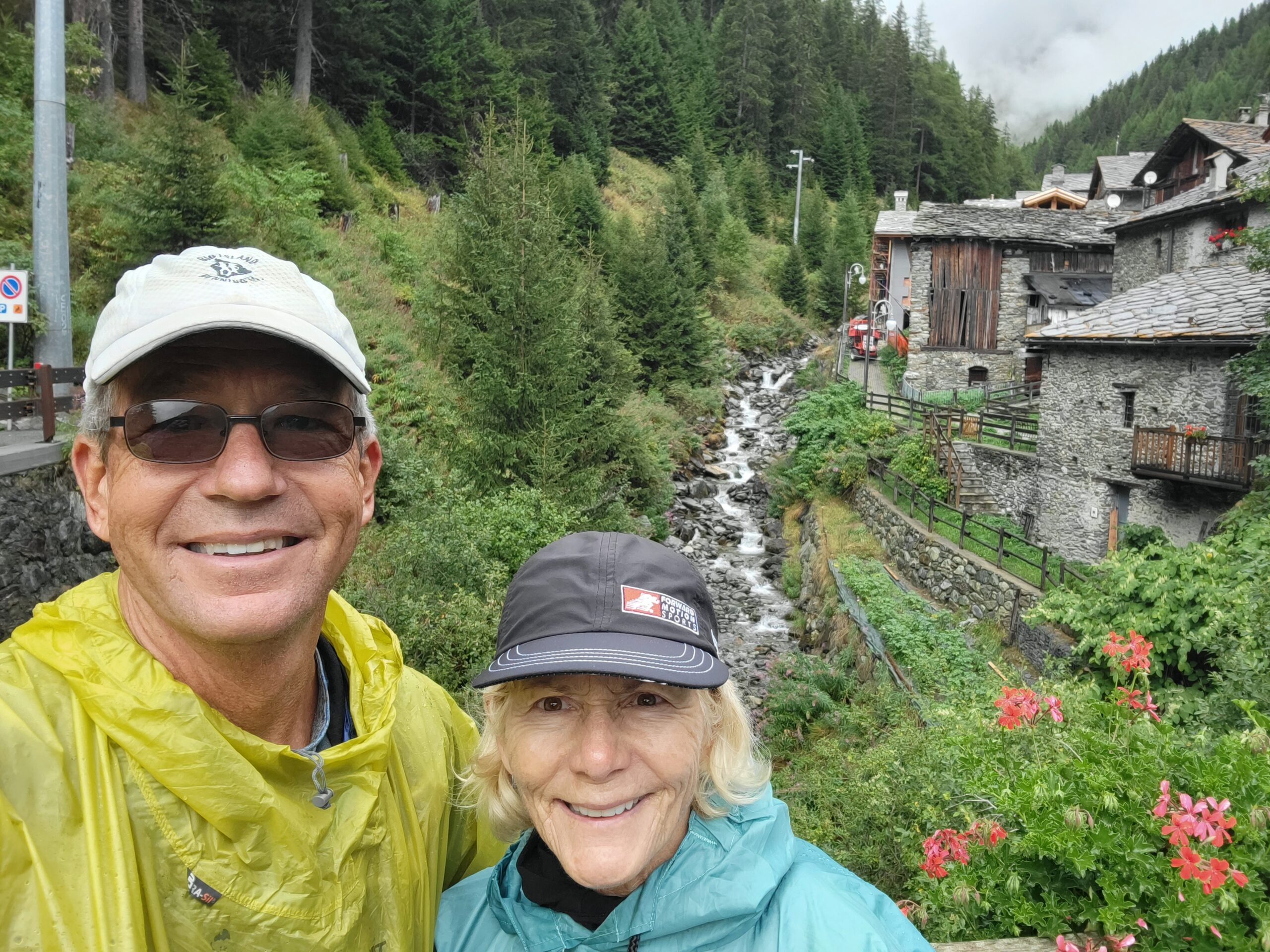
Today was 15 miles hiked and 3,000′ of climbing. Totals are 68 miles walked and 7,600′ climbed.
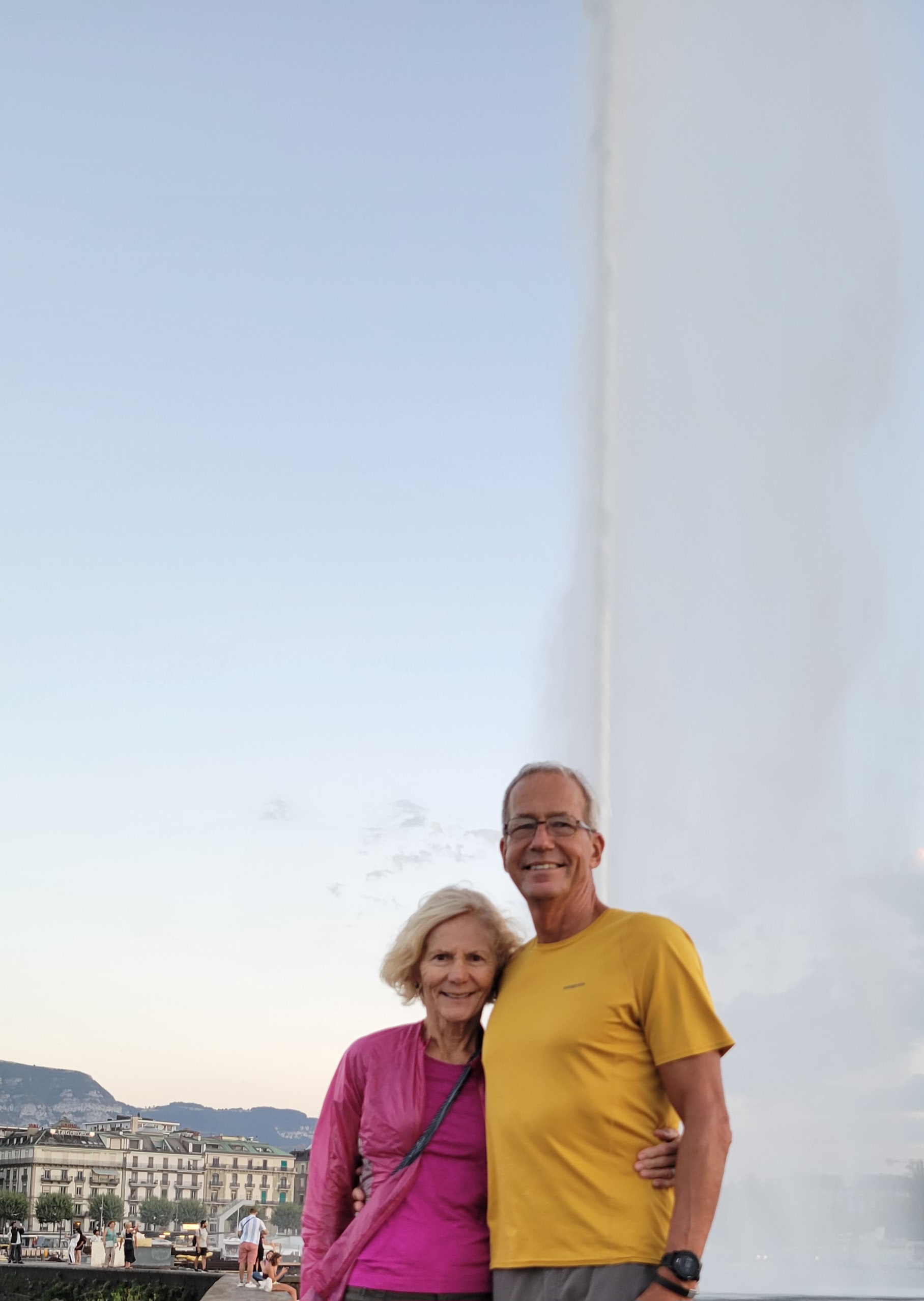
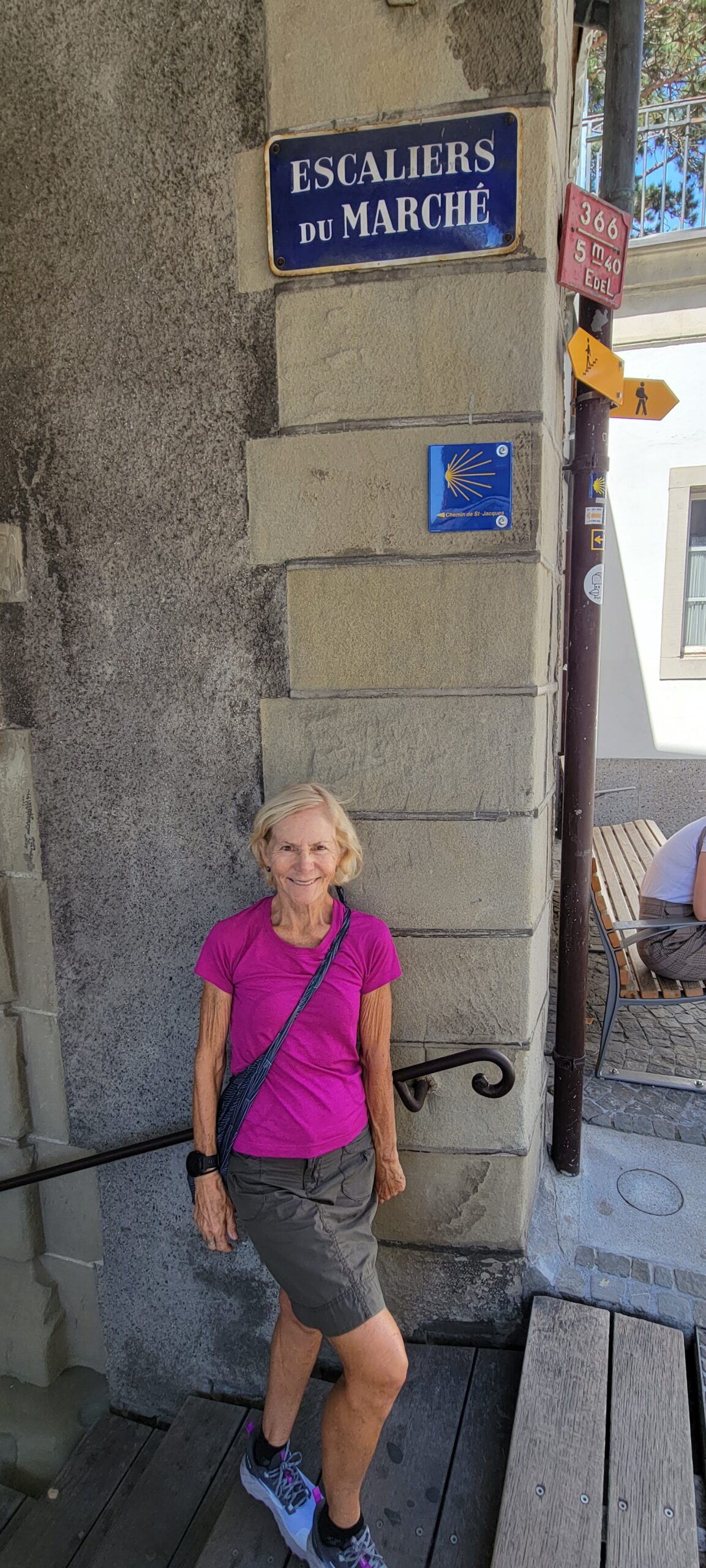
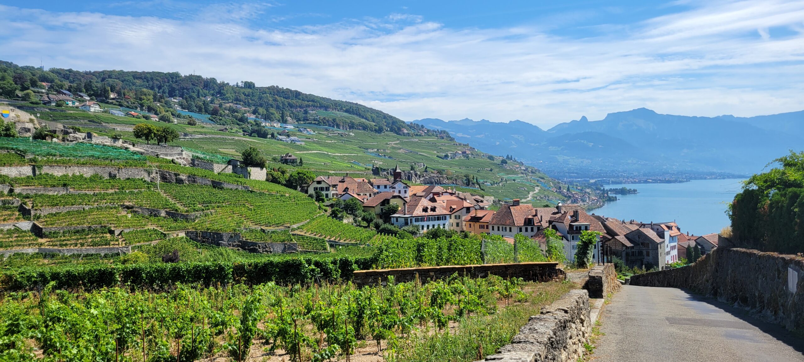
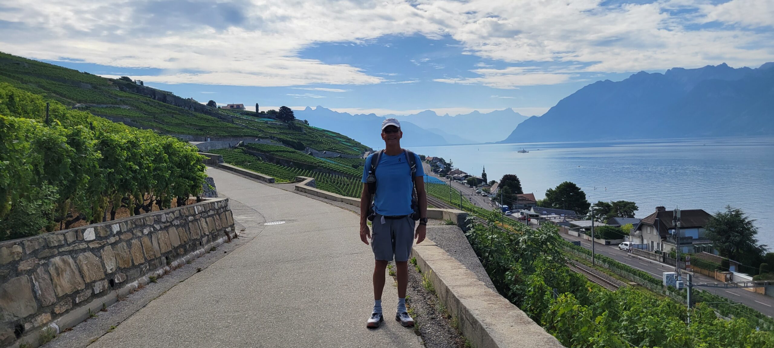
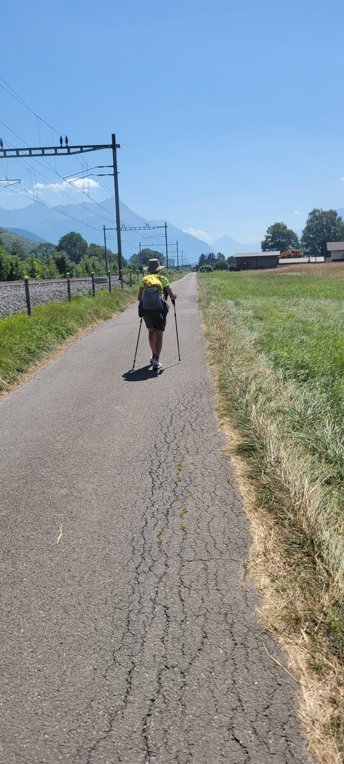
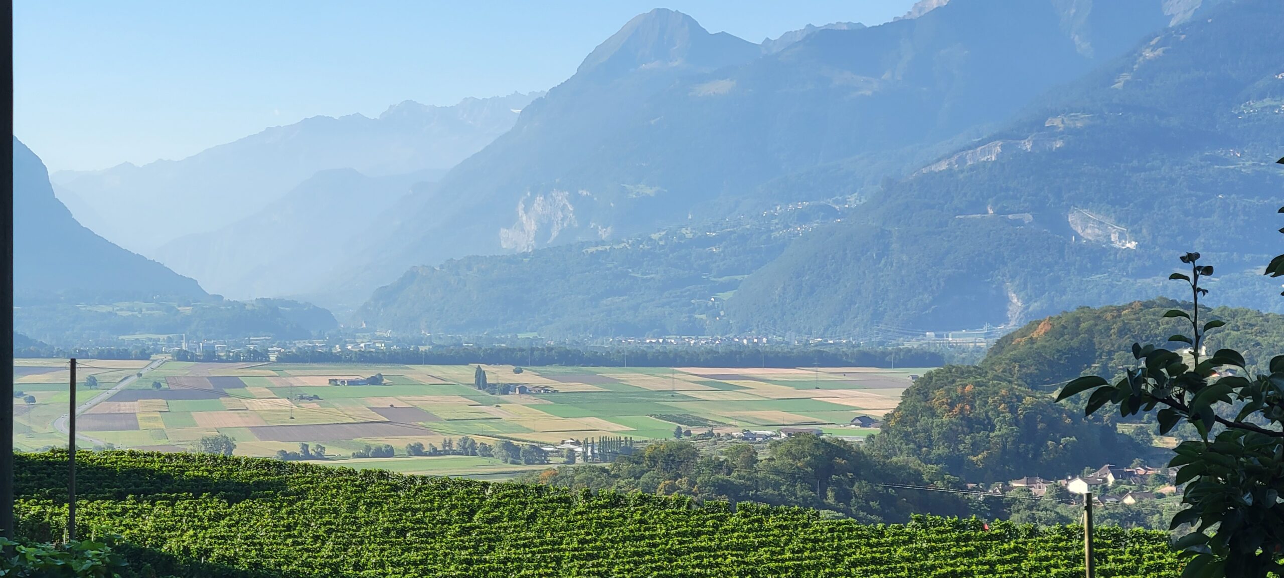
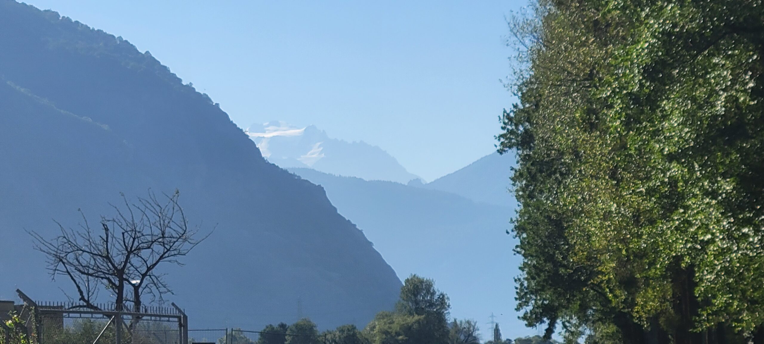
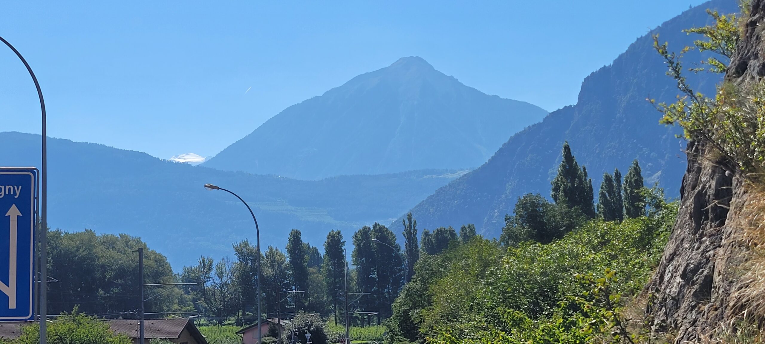
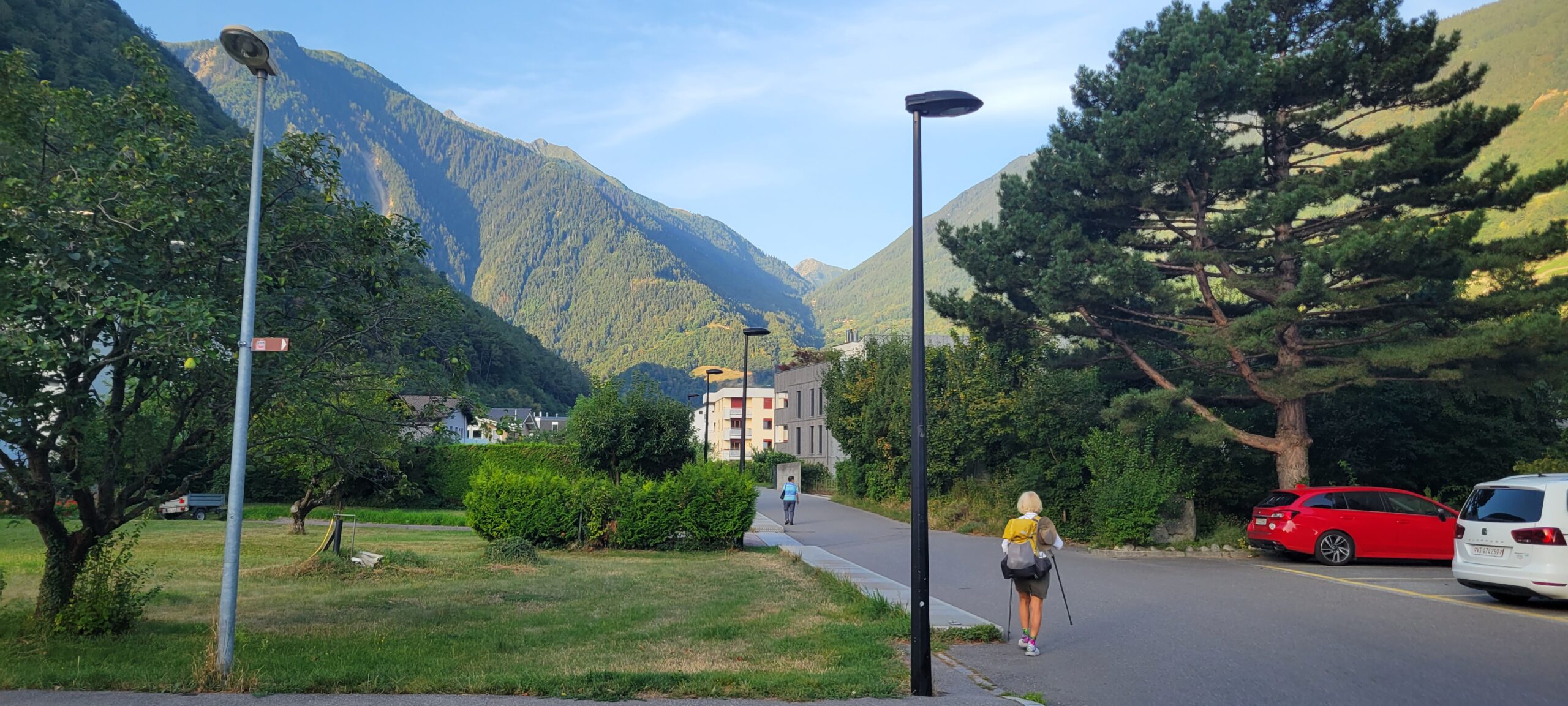
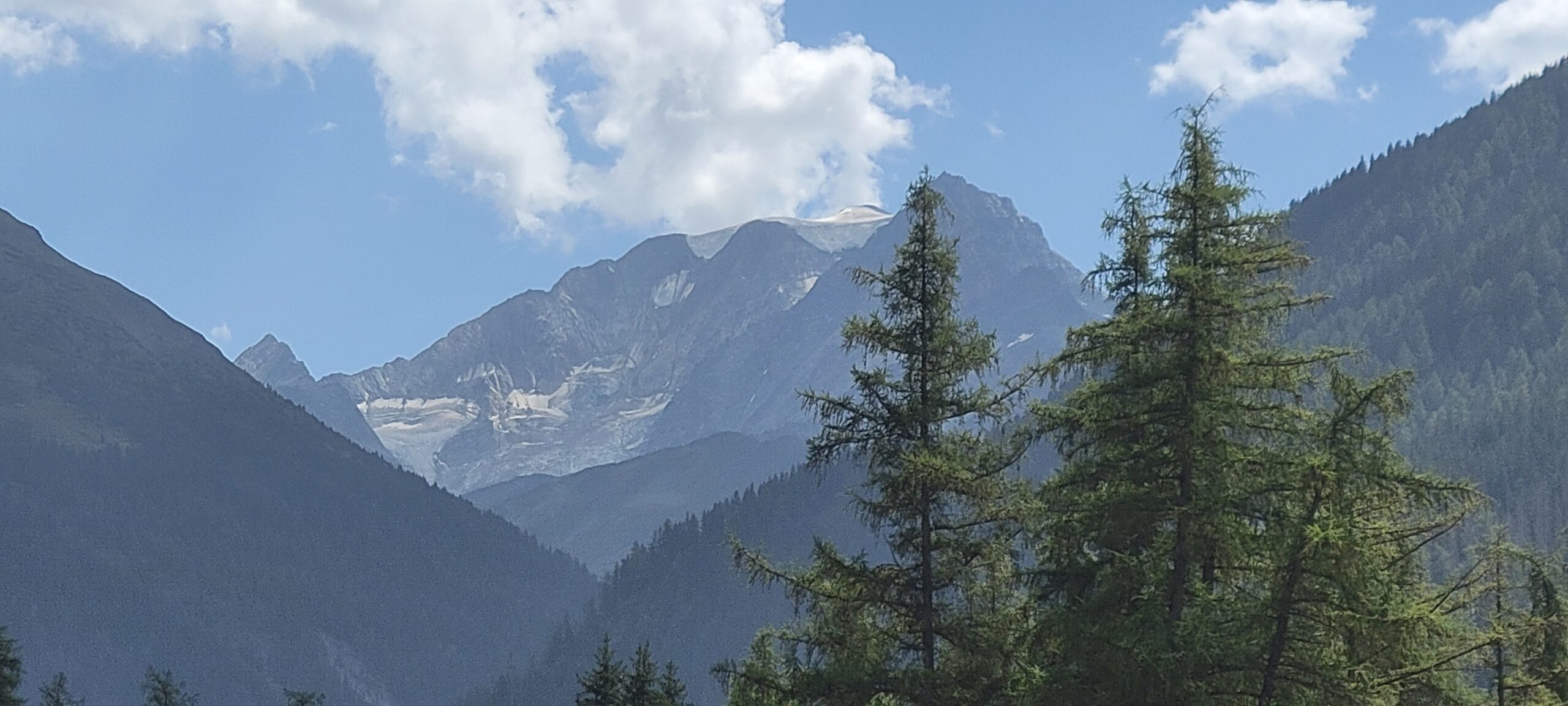
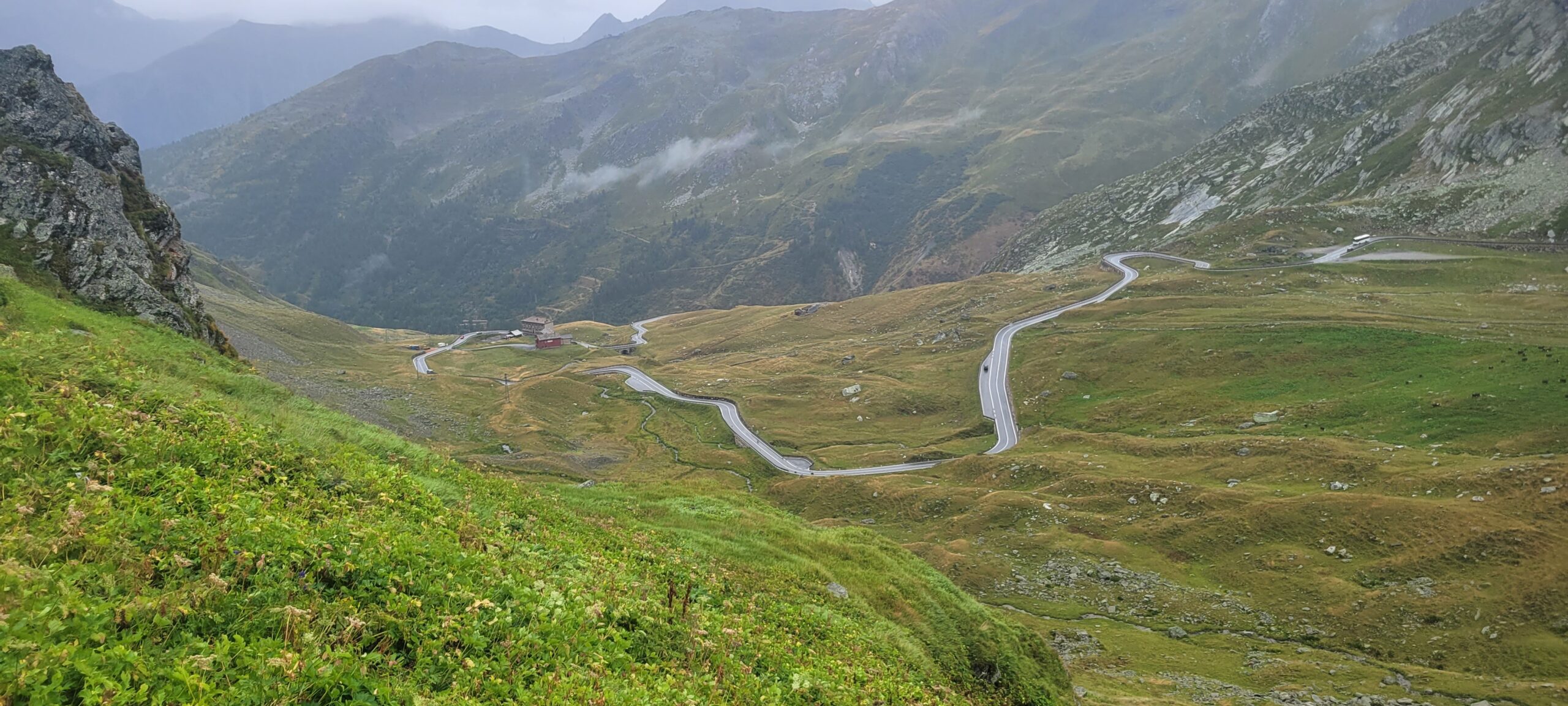
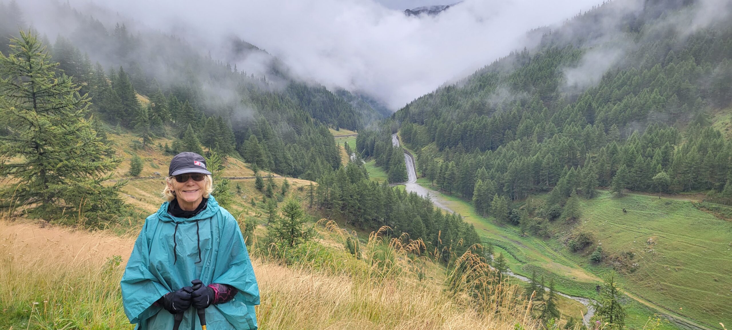
Another beautiful day, with this day being a transition from valley walking to climbing, with lots of ups and downs.

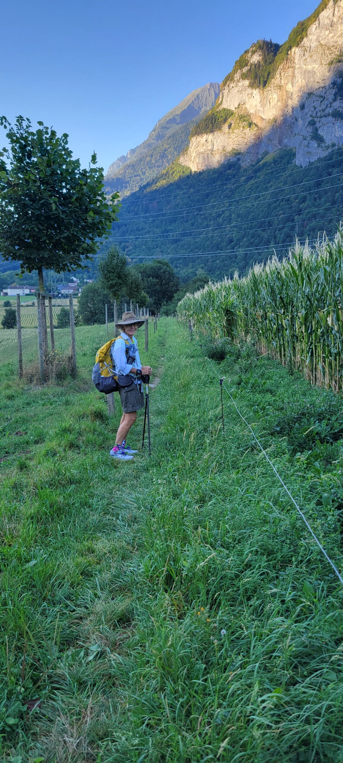
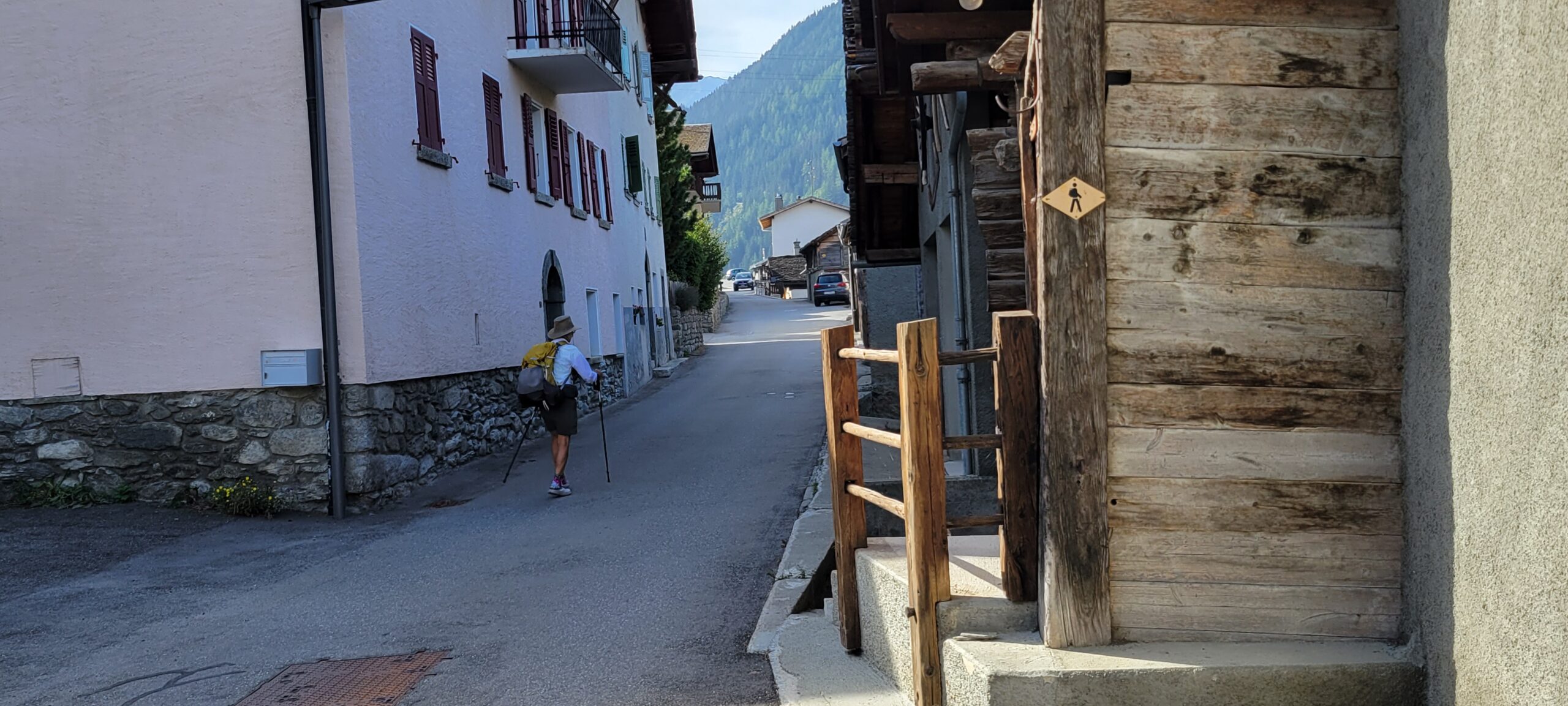
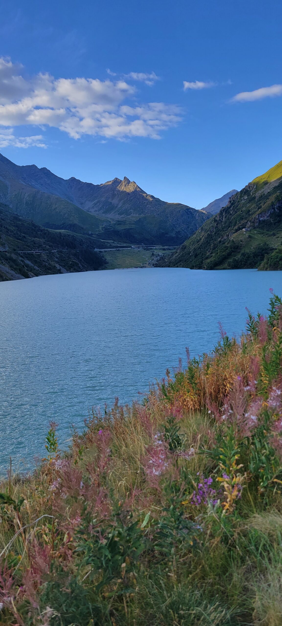
As we started the morning, it was clear that there was no where to go but up:
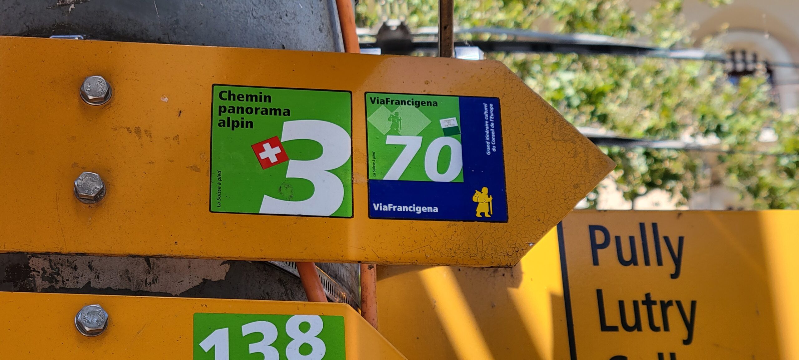
The guidebook had some interesting counsel about today … “many consider today’s stage the most difficult along the whole of the Via Francigena … “. Hmm.
So, what are the challenges? We’ll call them the 3 dangers of the fire swamp! While there are no rodents of unusual size, these are the hazards:
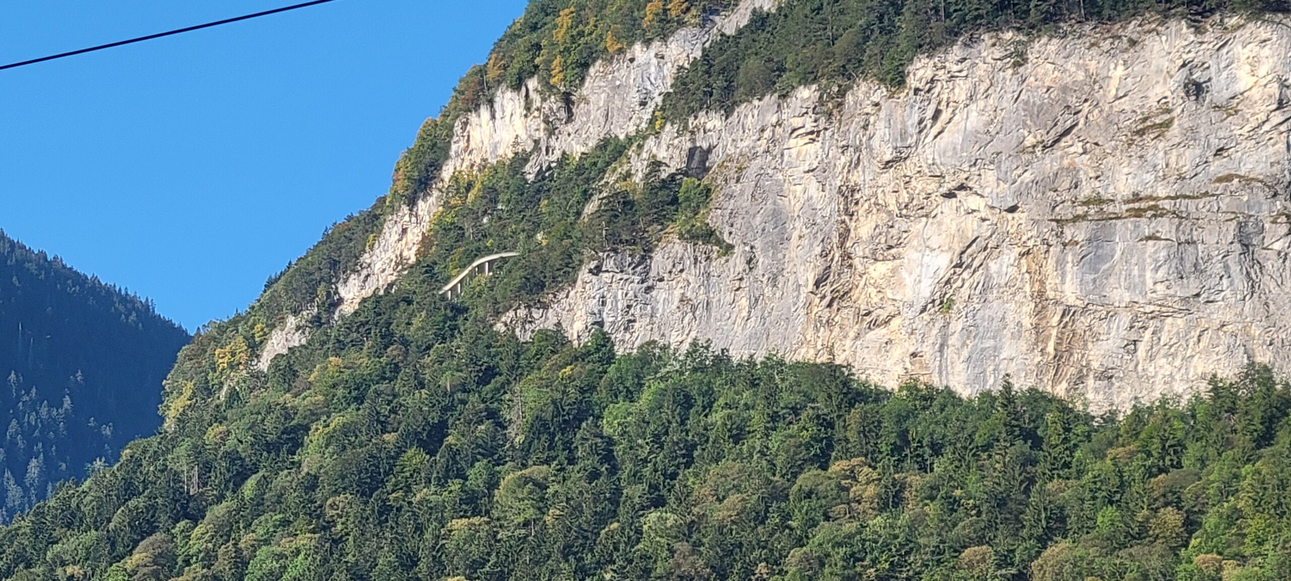
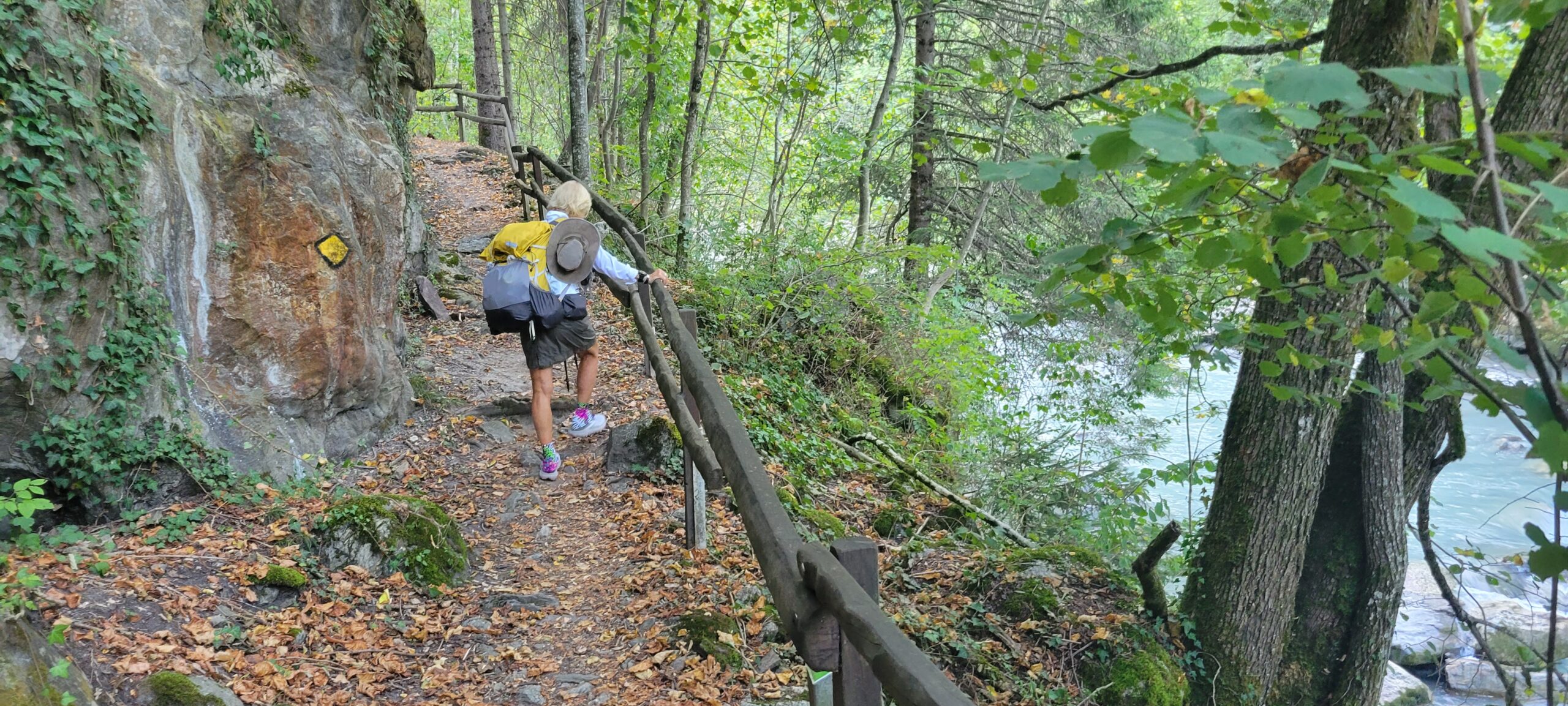
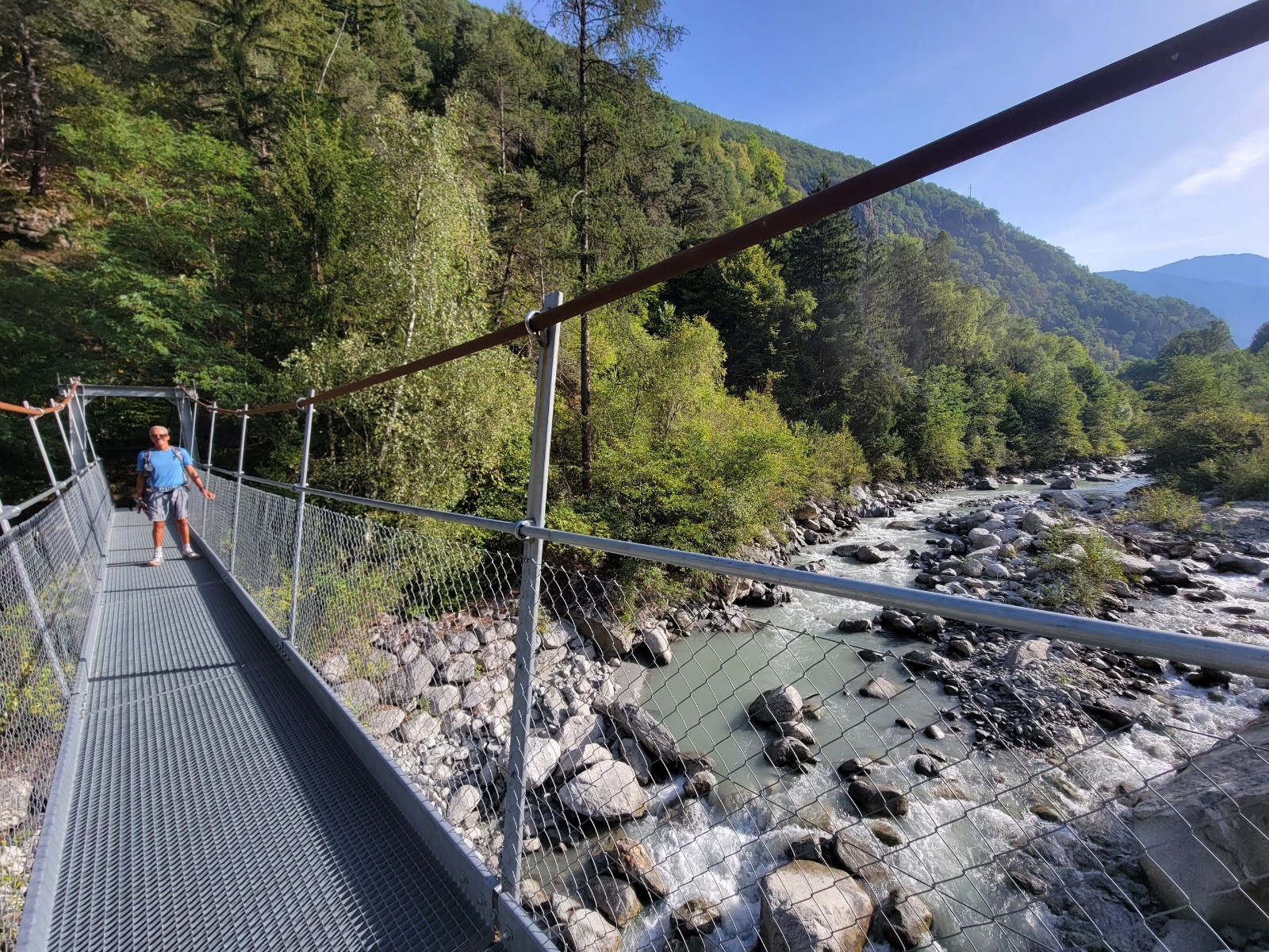
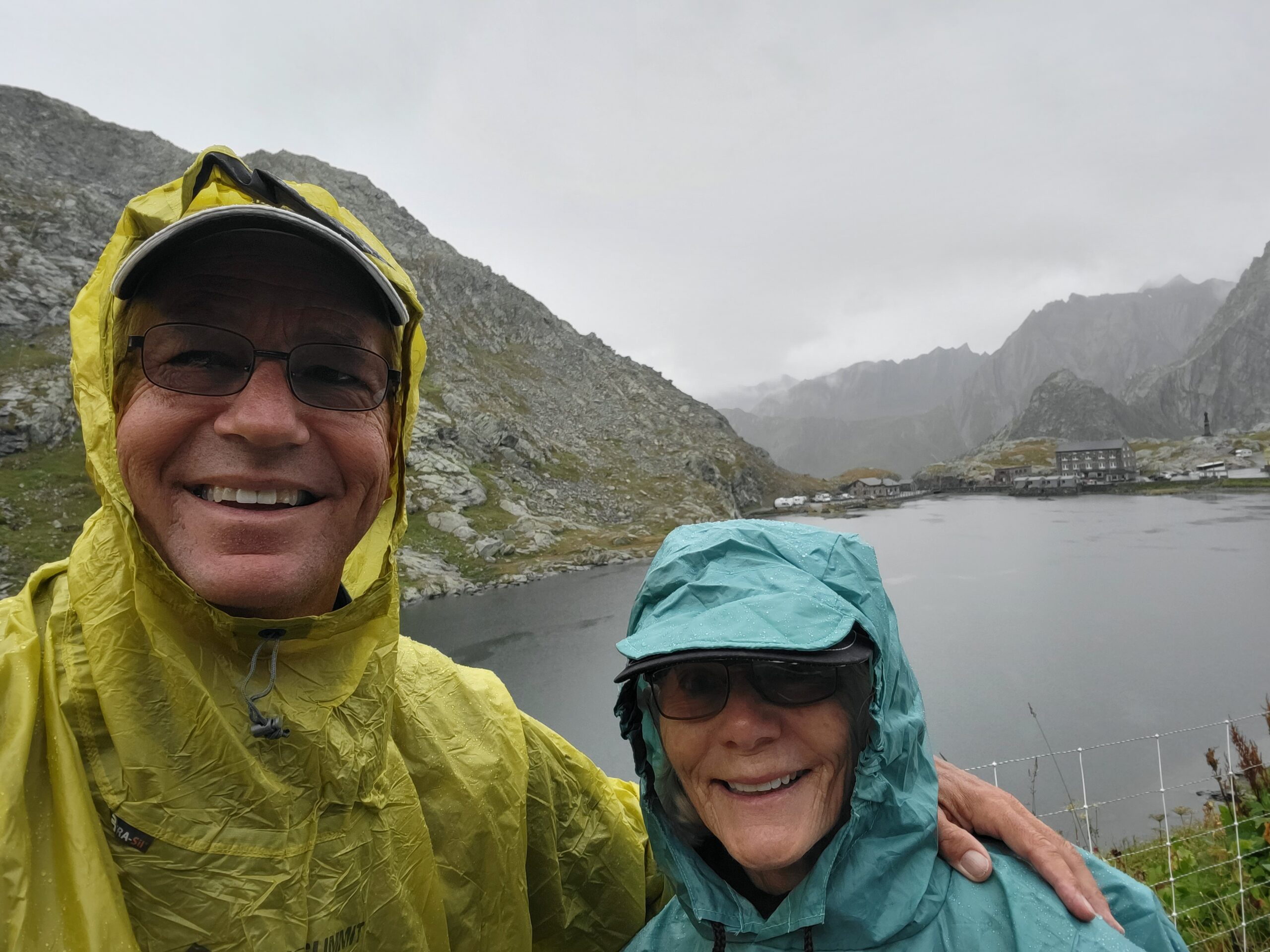
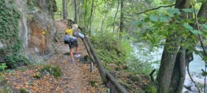
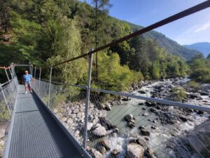
1. Narrow ledge, steep drop-off: The guidebook describes it as hiking on a narrow ledge with a 20 meter drop-off to the river, below. At one point the trail builders provide a handrail drilled into the hillside for support. Bill tried to snap several photos of this section, but they all came out blurry. Go figure. Nonetheless, here’s Diane entering the area and Bill crossing the suspension bridge, having made it through to the other side.
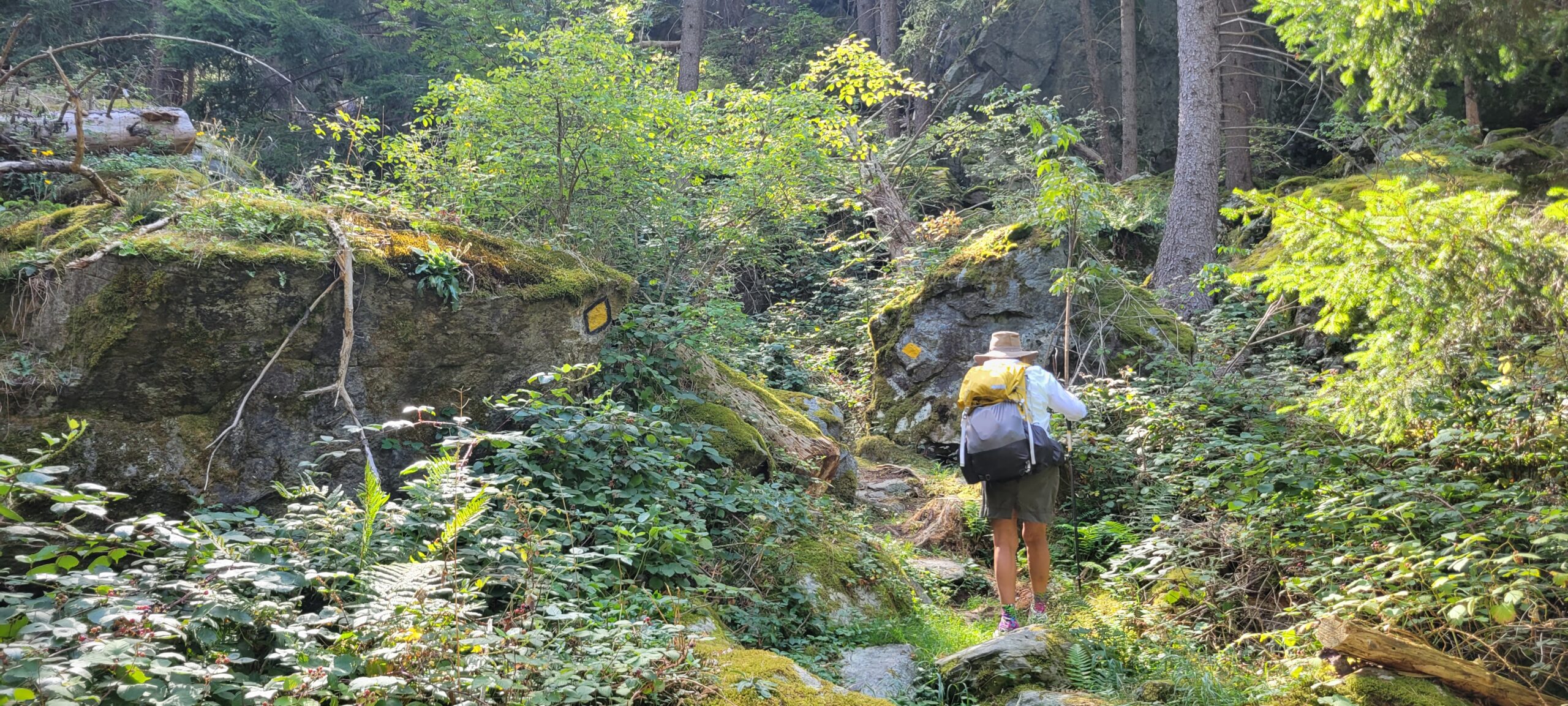
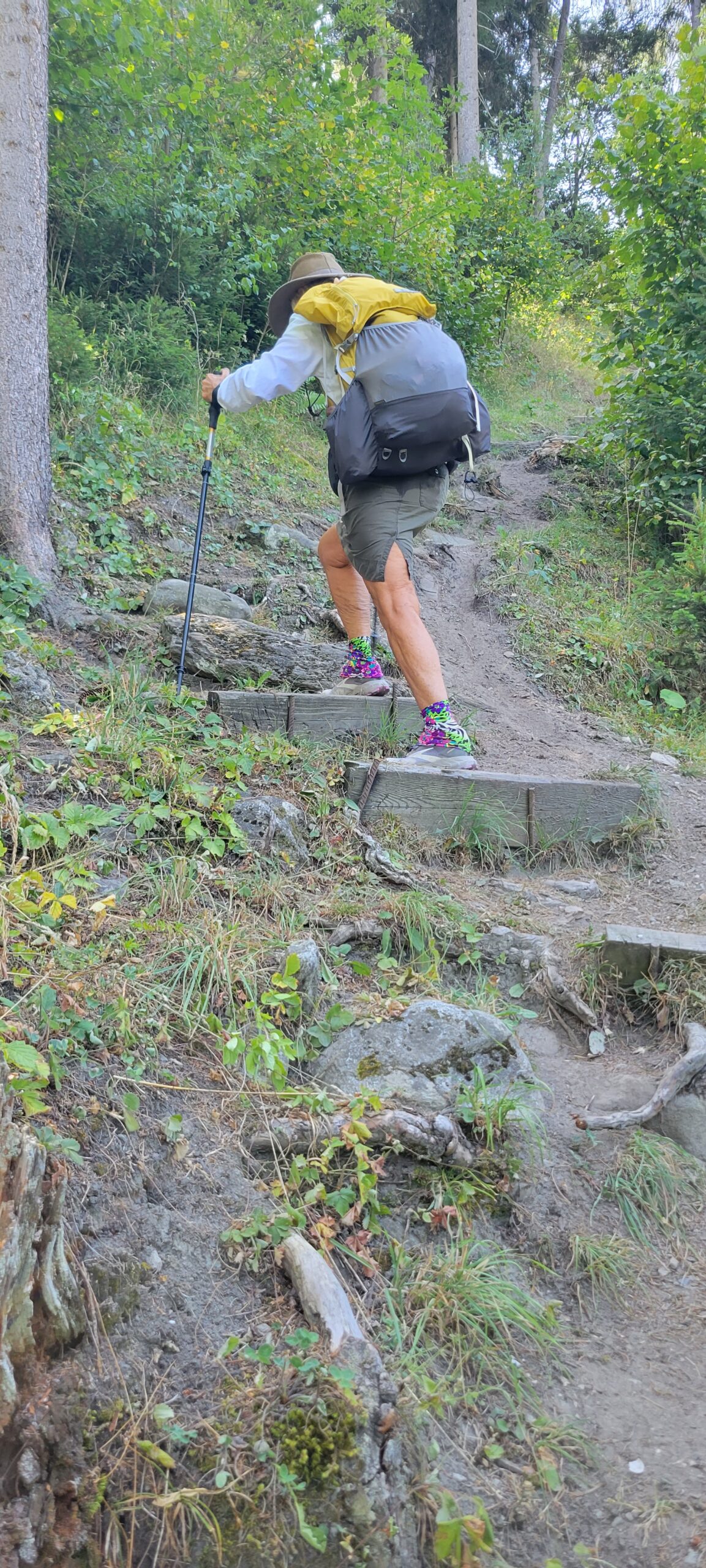
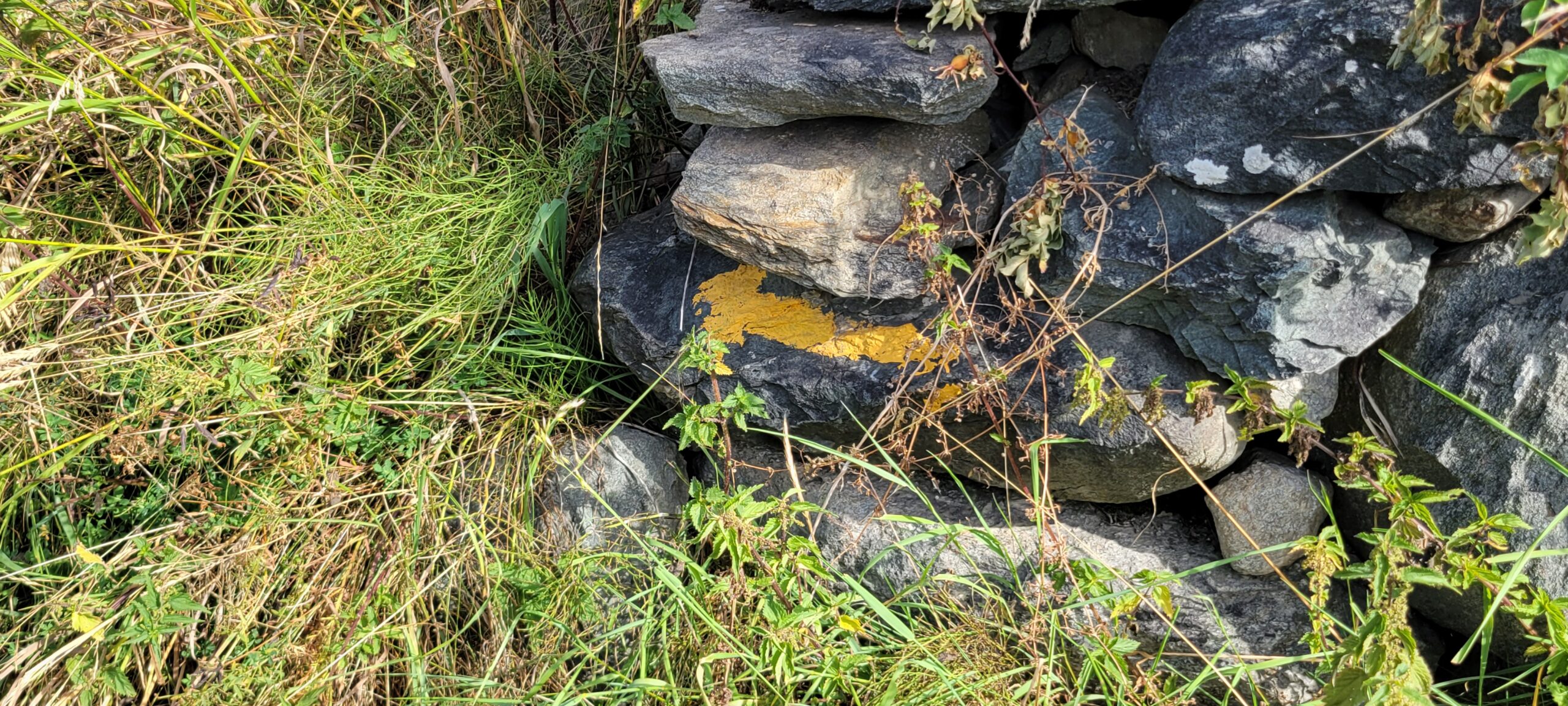
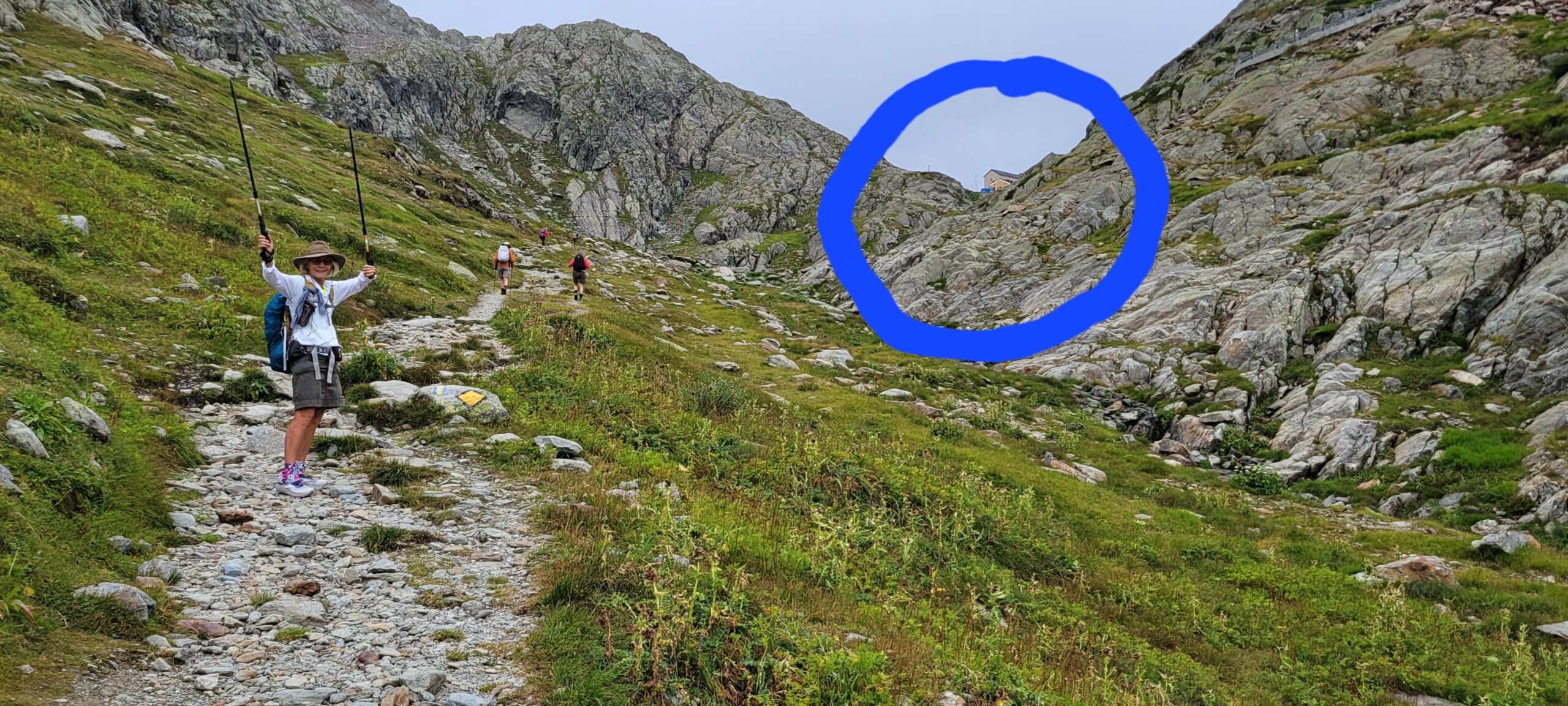
2. The slippery scramble section: For about a half of a mile, we traversed a moss-covered boulder field in the forest. There was literally no discernable trail, just YELLOW diamonds every 10′ or so directing you along. Absent those diamonds, it would have been daunting to attempt to end up at the correct point that the trail-proper resumed.
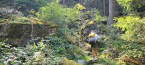
If you look carefully at the photo, above, you’ll see some of the directive diamonds. Again, it was difficult to capture the really tough sections because the “photographer” needed his hands to hold on.
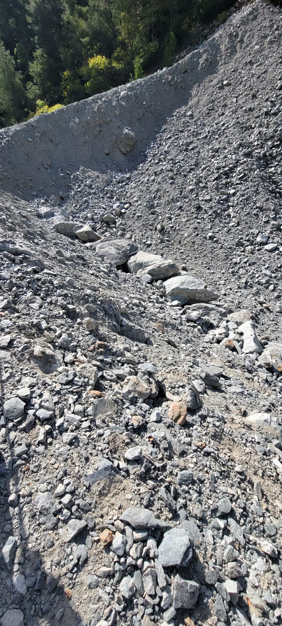
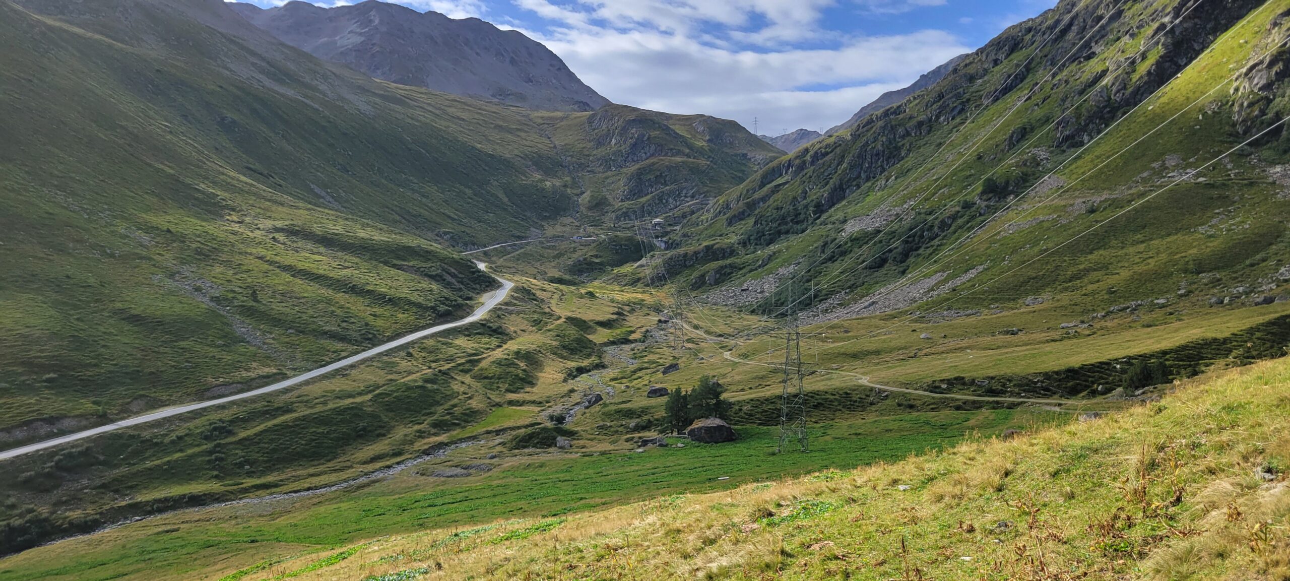
3. The Rock Quarry Escape: After passing the first two hazards, you can be lulled into a sense that “you can handle anything!” Well, then you come to the major rockslide! The trail signs direct you into this “quarry”,
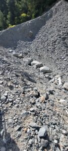
with no clear way out! (Note that this slide are is much larger than appears in the photo). We scouted around and finally figured that if we got on the narrow ridge on the left, perhaps that might get us through. Clambering through boulders and scree, we made in onto the ridge and, sure enough, found trail signs just beyond the slide! Woohoo!
Now, a 30 yr old would look at these challenges and say, “what challenge?”. A 50 yr old might acknowledge the challenge but quickly say, “no big deal, I can do this!”. However, those of us on the far side of Social Security see the risks and also acknowledge our limits. Today, however, we were not at our limit (phew!).
By the way, the guidebook suggested taking a local train to skirt around these challenges. We considered it … but not this time!
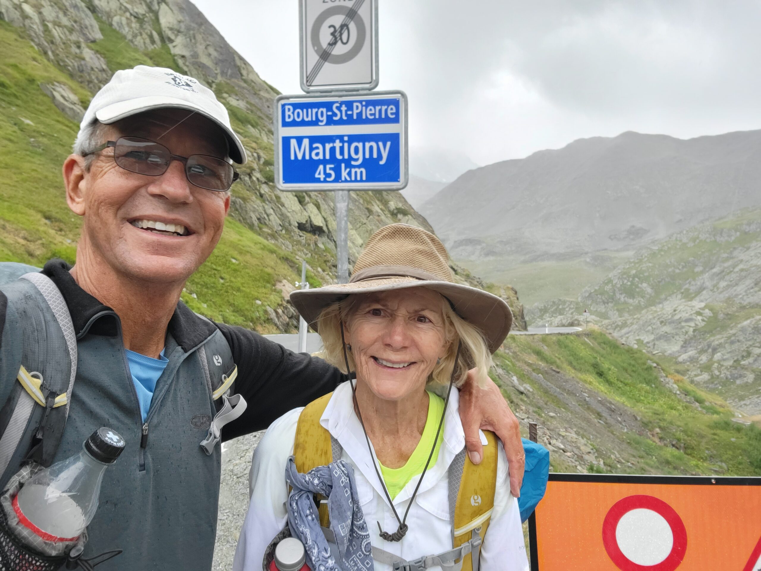
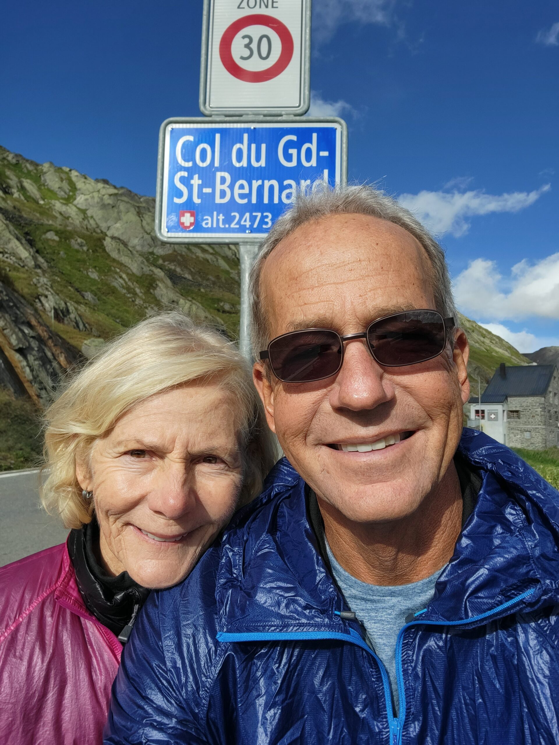
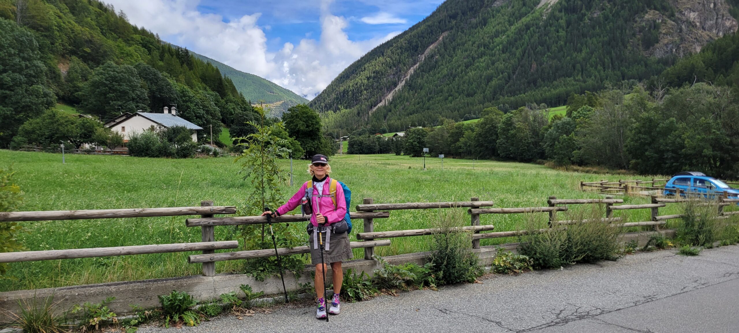
We’re less than 25 miles from the Grand St Bernard pass (8,200′), so we’ll have much more climbing ahead!
A bientot!