Today was 11 miles, so our total is now 315 miles.
We spent the night in an old, but nice hotel L’Horloge (the clock), in Auvillar. This village played an important role in medieval times, as it was the center for tax collection. At harvest time locals would have to bring a portion of their crops to pay their tax bill. Each of the 12 sides of this building is used for a different crop. 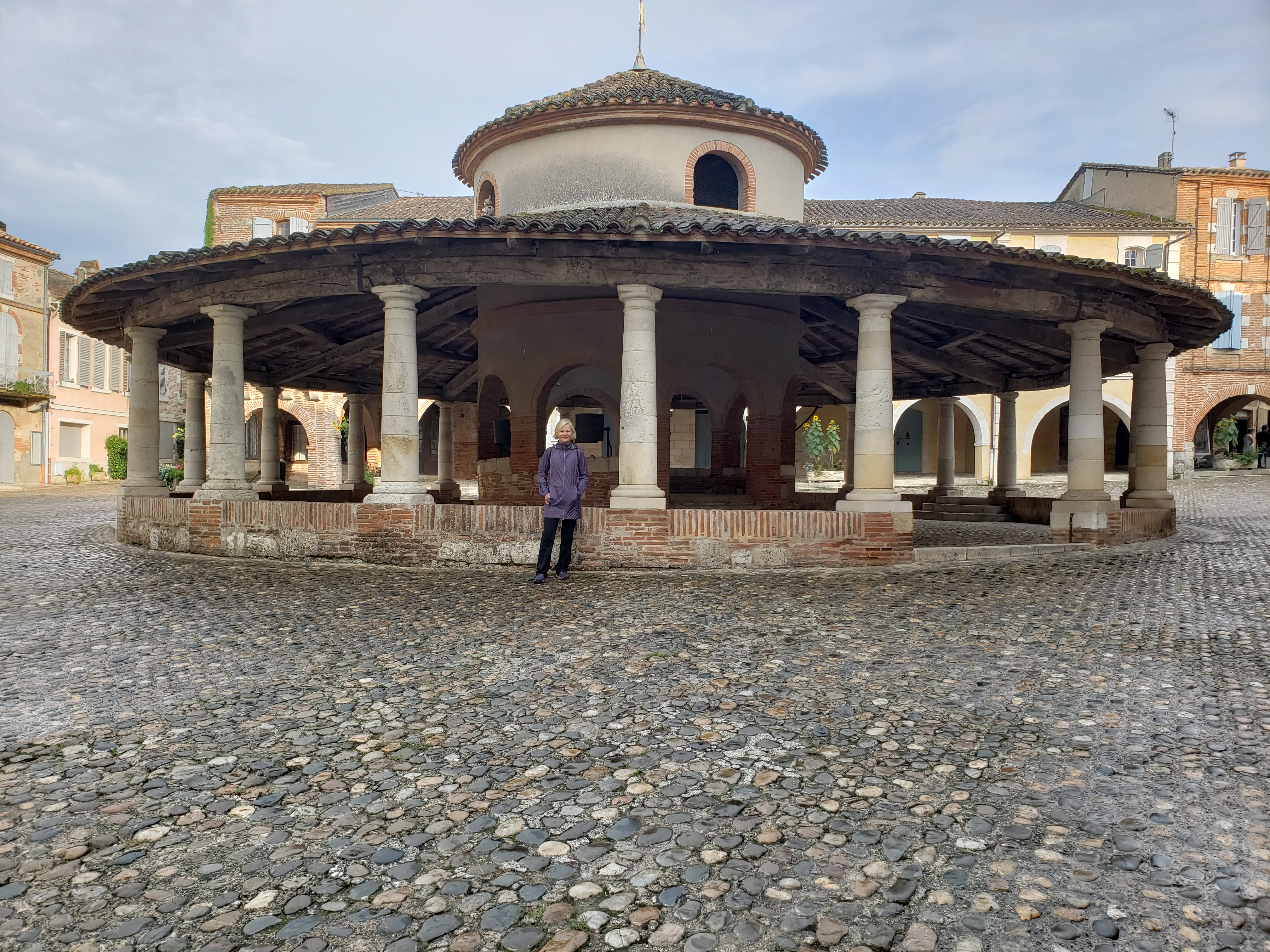
Today’s walk was similar to several of the recent stages, rolling hills and farmland. Diane added in some Real Estate shopping, but couldn’t decide between the castle 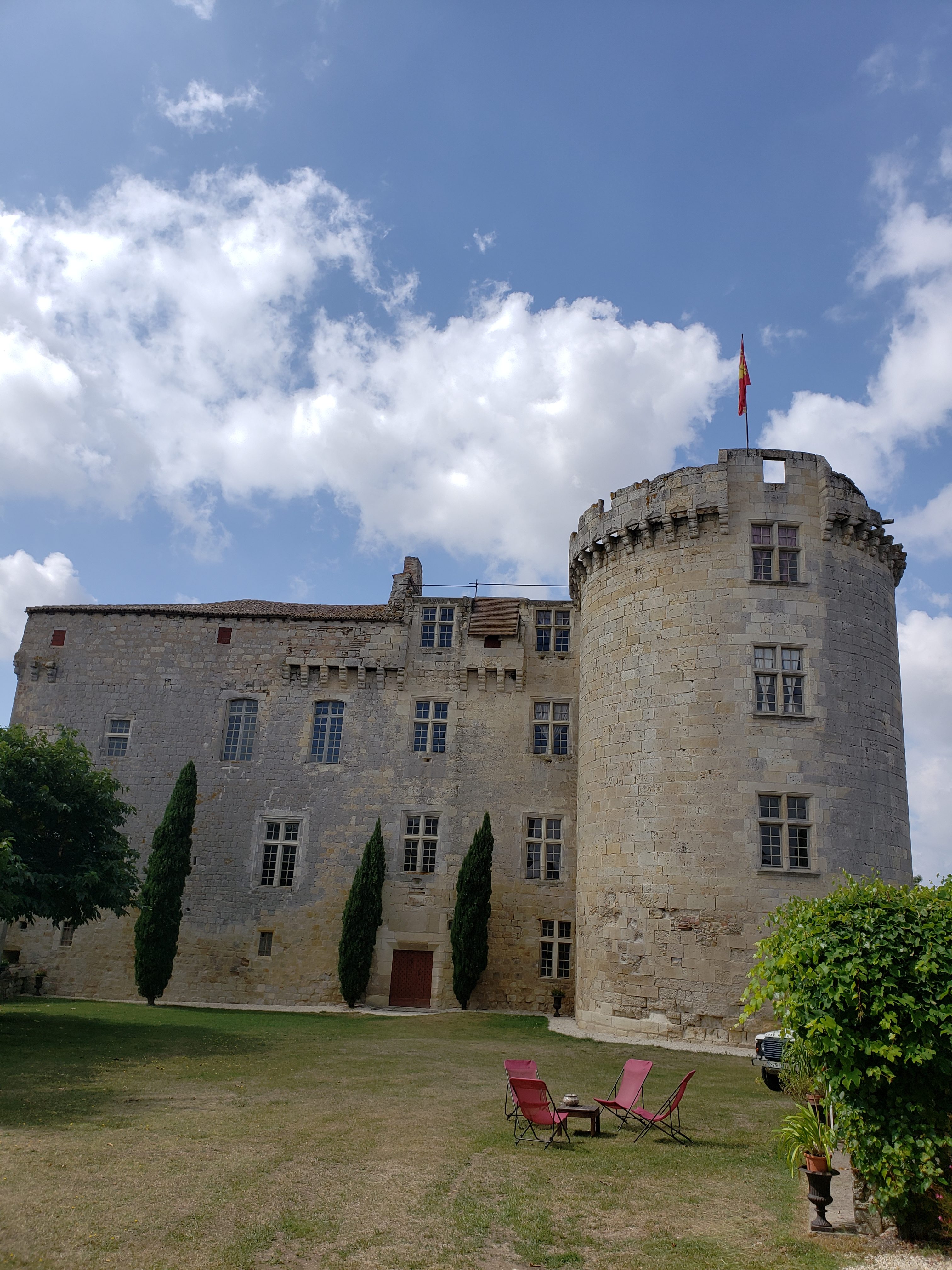
And the gentrified farm house: 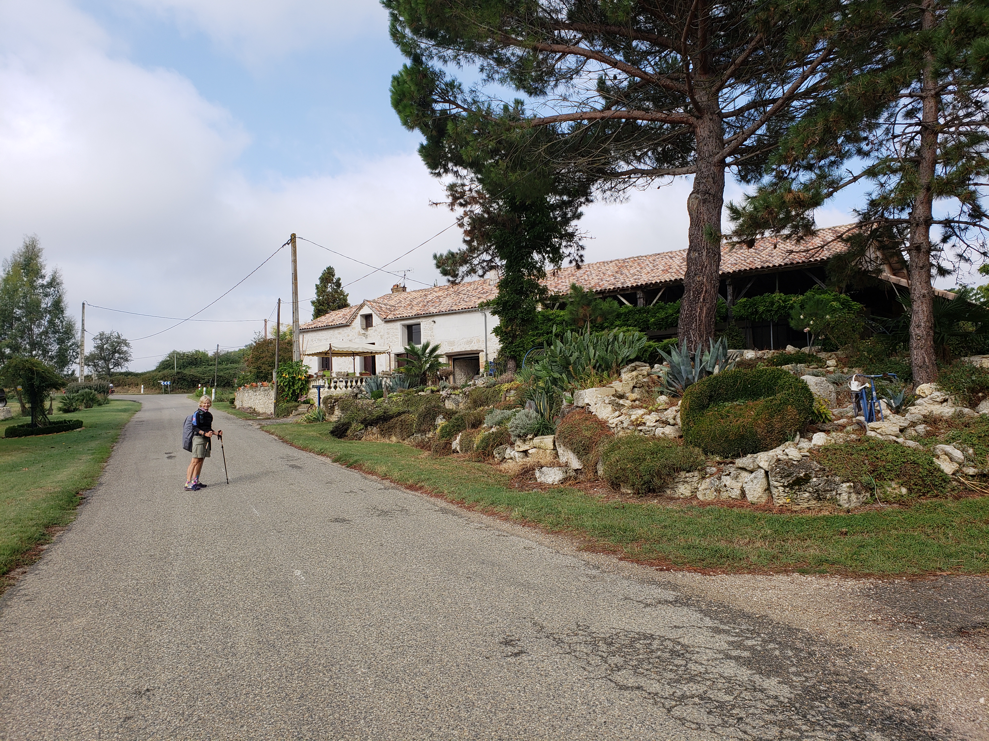
Oh well, we’ll just have to hold off until we can reach a decision!
For those interested in the overall route, here is a screen capture of the Le Puy route, as provided by Gronze.com.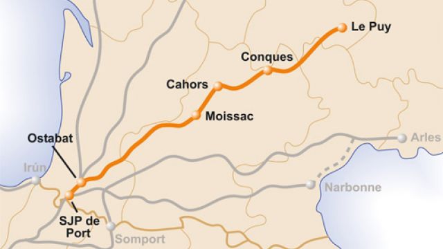
Le Puy is where were started and “SJP de Port” is (nine or less) where we finish.
While we have a guide book that we carry, each day we go onto Gronze to pull down a daily route and elevation map.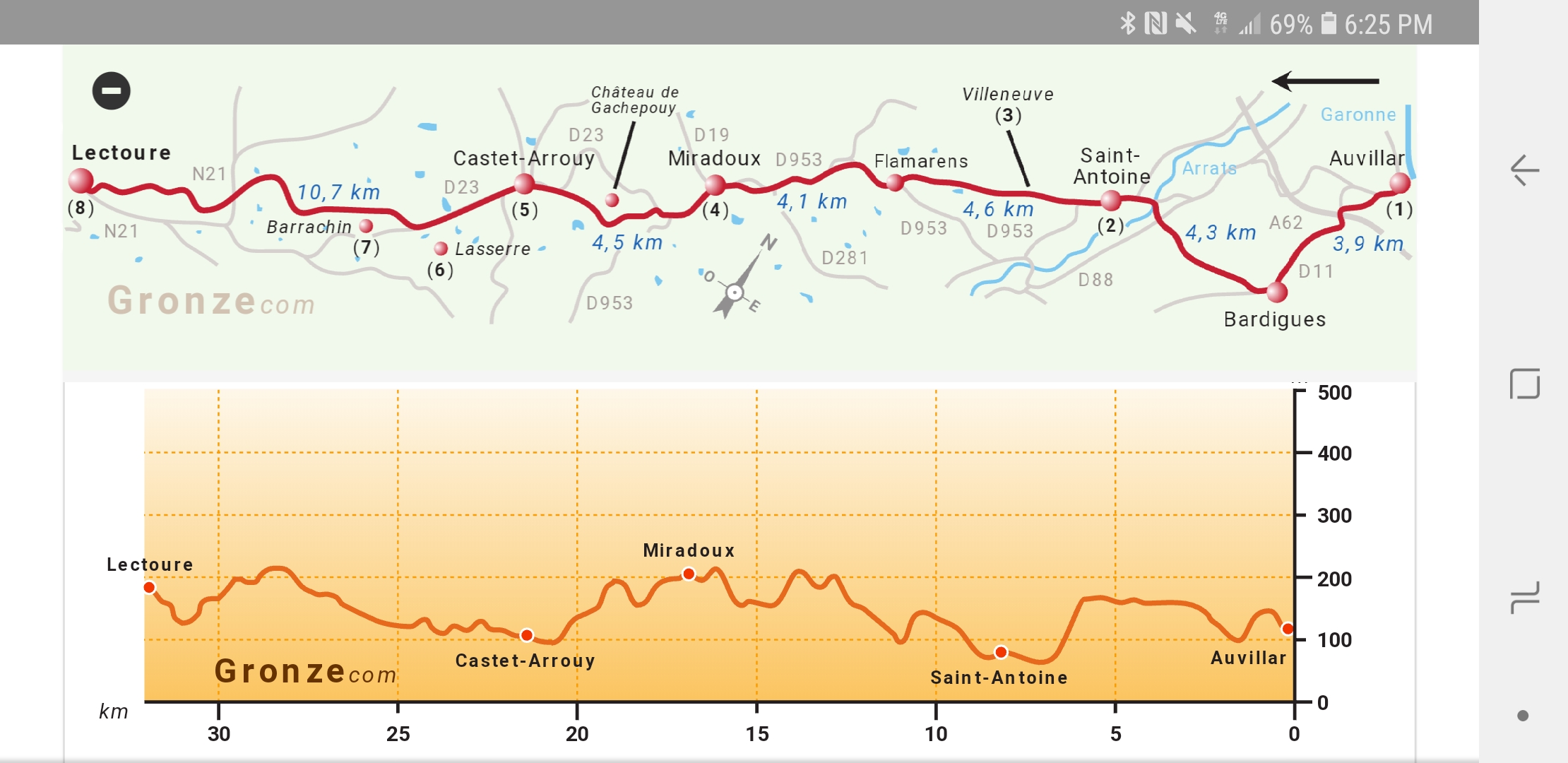
This map is actually for both today and tomorrow, as we split a long stage into two shorter stages. It is read from right to left. We started in Auvillar (right side) and stopped today in Miradoux (center). The elevation chart lets us know how much climbing we have that day.
And that’s the way we do it, here in France!
So glad you shared the map and elevations. Combined with your photos and blog we really get the feel and extent of your wonderful adventure.
Thanks for the input! Or how is that you get a good sense of what it’s like. It really is fun. Well post some other elevation info when the stage seems interesting. We’re looking forward to hearing of your next adventures!