Today was 20 miles walked and only 1,000′ climbed. Our journey totals are now 123 miles walked and 16,300′ climbed.
The Aosta Valley is a long, fairly narrow valley. With a river, a highway and a train in the middle, there’s not always a lot of spare room for trails. So, the principal Via Francigena route climbs the canyon walls, going up and down as necessary, to provide the trail space.
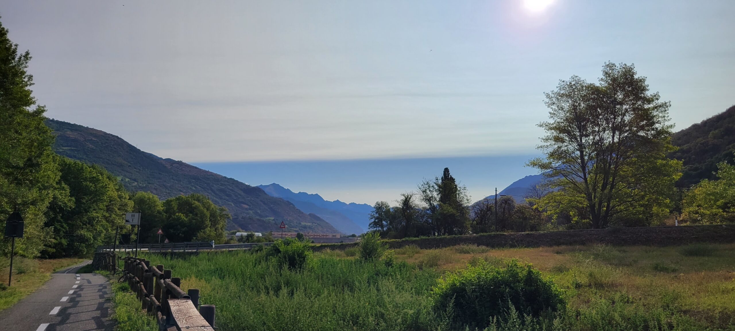
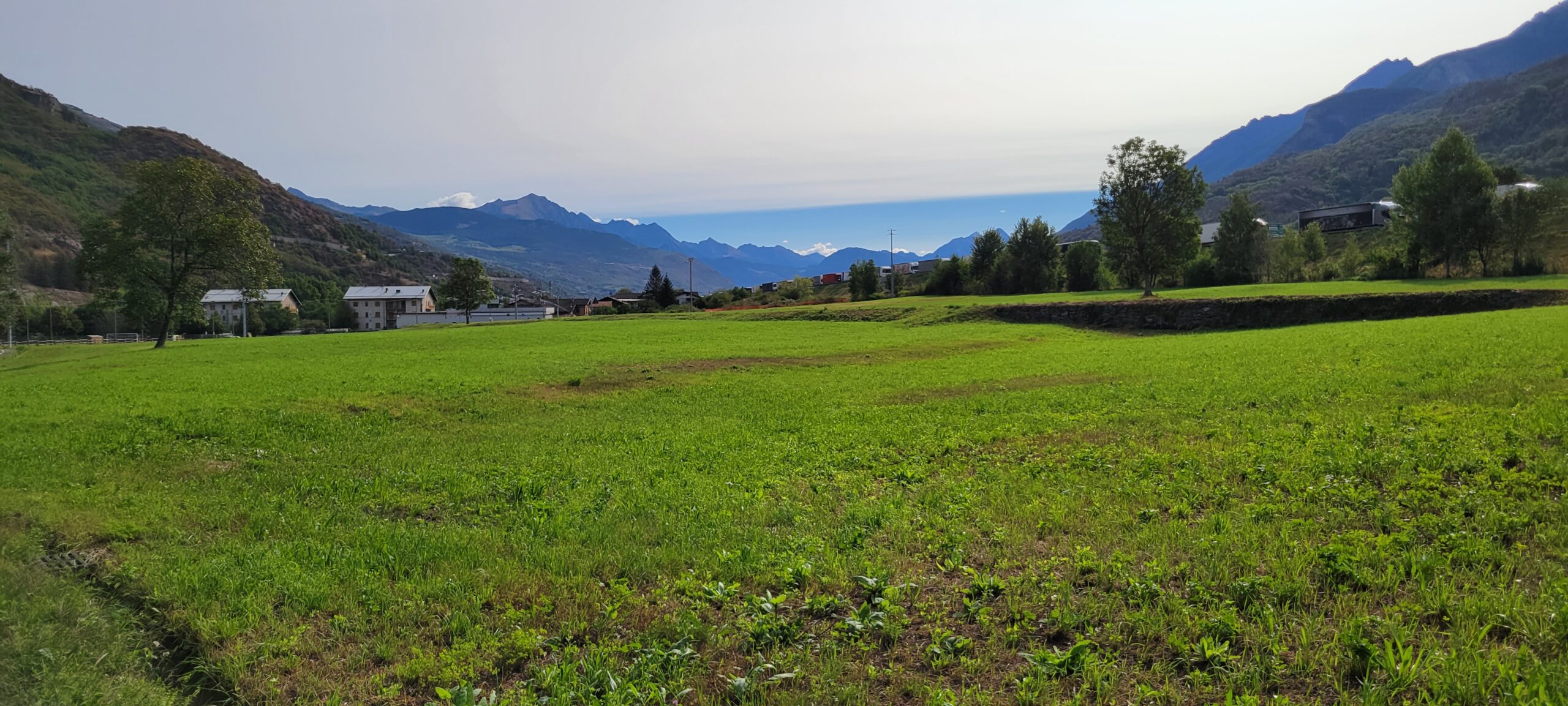
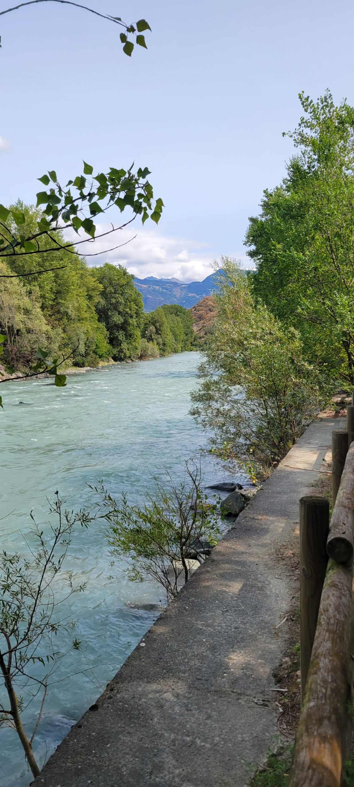
There is another way … Italy has a phenomenal bike path that follows up against that river for nearly the whole distance of our walk. It is slightly longer (maybe 3 more miles), but far less climbing (our 1,000′ vs 3,500′). And, it is beautiful! Don’t take our word for it …
And
Also,
We were quite content with this route! Tomorrow, there isn’t a straightforward bike path alternate, so we’ll go back to the mountain goat trail.
Directions: Bill grew up hiking with a compass and topo maps. You get a sense of where the trail should be and search for the markers or landmarks. And you make mistakes, but that’s part of the adventure!
As we started hiking trails in Europe, we had GPS that we could use to cross reference our guidebook directions. Much better than compass and topo, but not foolproof (witness Bill’s many “lost directions”). The challenge was that the camino trails were never on Google maps, so you had to guess at the overlay.
As we looked at today’s bike path vs official walking path, Bill was concerned that our guidebook wouldn’t help. Net, the chance of getting off track was potentially high. So,
Bill found a Via Francigena App! That tool shows both the walking and the cycling routes, AND overlays your GPS position on the detailed map! (See RED dot on RED trail line)
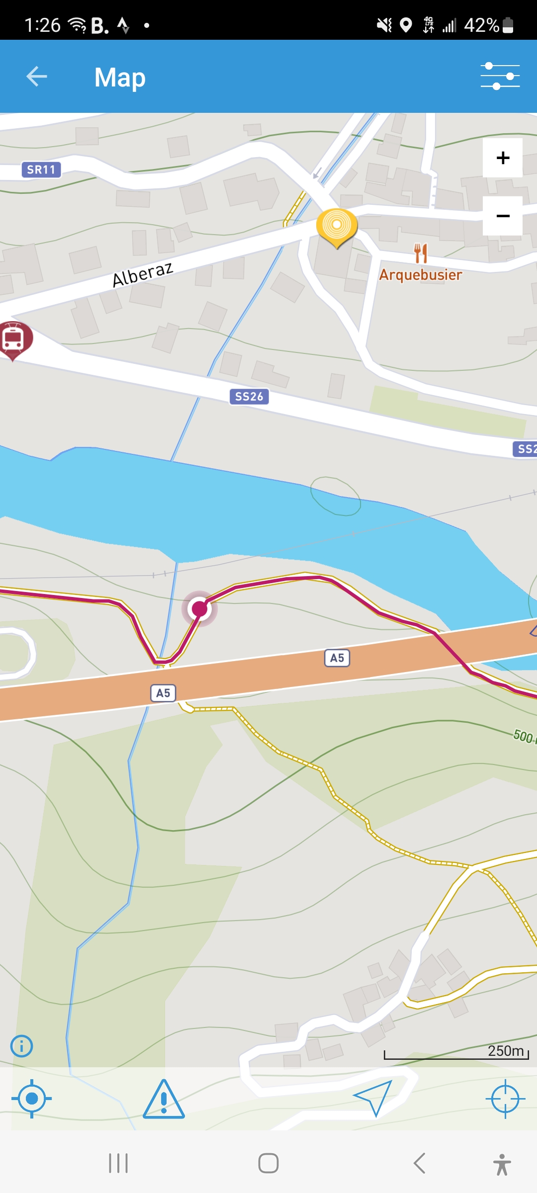
It was great! Mostly, no getting lost and no worrying about missing a trail marker … just look at the map and if your RED dot is on the line, you’re good to go!
Okay, this is a good thing, but Bill misses the aesthetics of physical maps and compasses. Also, he has NO excuse now if he gets lost!
Friends along the way: In the last several days, we’ve met several native English speakers walking the Via Francigena. And a feature of these walks is the ease with which you make friendships. You’re walking for hours and conversation just flow.
Last night, six of us gathered for a great dinner.
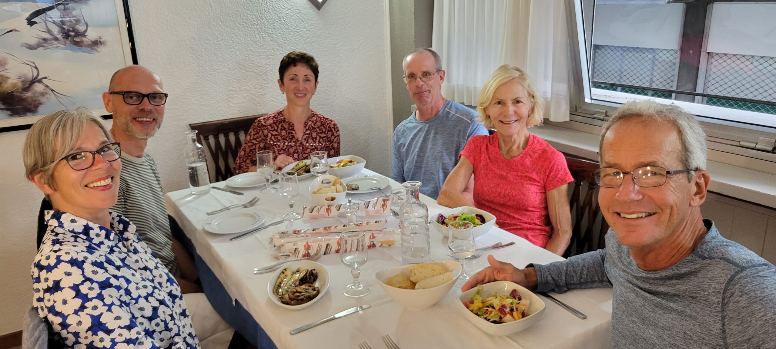
There’s Mary and Stuart from London, and Victoria and Allen from Florida. Ken, from Vermont, another of the band, wasn’t able to make the meal.
On leaving the dinner, we noted this very informative sign on the road
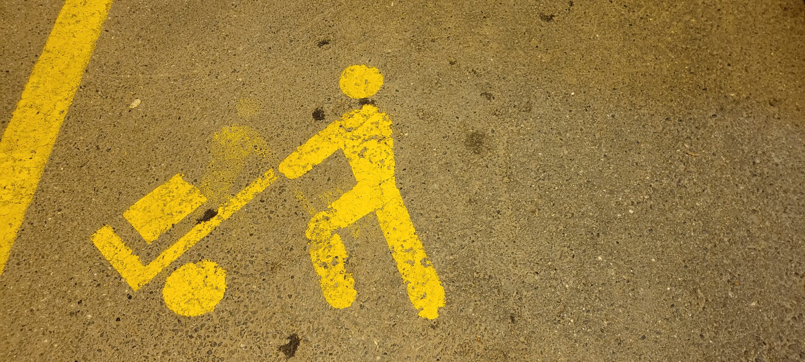
We think it means, “this space reserved for hockey players”. What are your thoughts?
TTFN,
Bill and Diane
What a walk/hike/day! Beautiful scenery today! How did you feel after 20 miles of walking? I did not know that you used to use a compass! It’s always been GPS on the phone for me, lol. Actually, I love looking at Mabs. I sometimes miss finding your way by simply using a map rather than plugging it into your phone or car. we’re all doing well here today, that’s a blessing. Take care and see you tomorrow. And, I have no idea about the guy and his cart means. Love you both
Hi Willow! Thank you for checking in on us! Yeah, long ago, before dinosaurs roamed the earth, there was no gps! So, topos and compass were the tools 😳! I do miss maps, also. I could study them for hours, wondering what this place or that place is like.
We’re good after the 20 miles; we really tried to mange snacks to avoid running on empty.
Take care of yourself and those you care for!