Monthly Archives: August 2023

Bourg-St Pierre to Grand St Bernard Pass

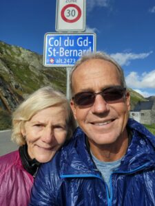
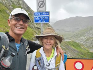
Today was 8 miles of hiking and 3,500′ of climbing! Totals are now 86 miles walked and 14,100′ climbed. Most importantly, we have reached the high point of our hike, at 8,175′ and are at the border with Italy!

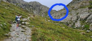
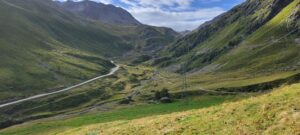
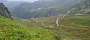
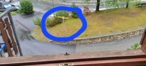
Several things to note about the above photo. 1. The BLUE circle highlights the buildings at the top of the pass … our first view of the top!  2. Diane is thankful! 3. There are several other hikers in the view. Interestingly, after a week of no others, the hikers were everywhere! A single guy from Vermont, a couple from Ft Lauderdale, another couple from London … and an assortment of others!

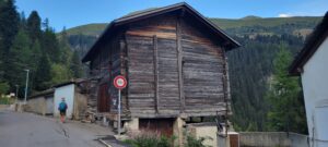
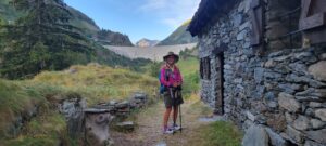
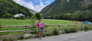
The hike itself was wonderful.  Starting with the character-ladened barns of the area.

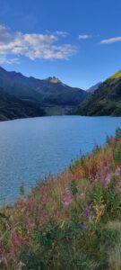
The lakes

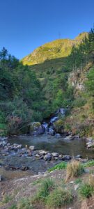
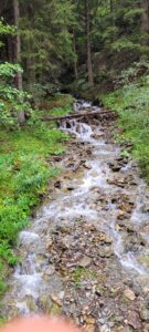
The streams

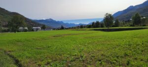
The meadows

And the company!

And so we made it!

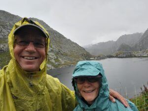
We knew there was a good chance of rain mid-day, so we started early. We arrived at the top just before noon and … just before it started to pour!  We are thankful for travel mercies!

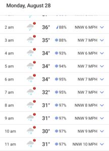
So, speaking of weather;  the weather is changing!  From nearly 100 F for about a week, it’s now cold! (50’s). When we checked the next several days … it was disheartening!

If you look to the right of the temperatures, you’ll see SNOWFLAKES. Yep, it’s gonna snow here on Monday! Our plan is to hike out tomorrow, descending 4,000′ (in 45 F weather), to get down to the warmer lands! Yikes!

We checked the weather throughout Switzerland and this is a big cold front hitting the area. By going down in elevation, and south (to Italy) we’ll miss the worst of this.

It’s all an adventure!
Grand St Bernard to Etroubles; Changes

Day 9: 9 miles walked and only 400′ climbed. Totals are now 93 miles walked and 14,500′ climbed.  But … today’s story is not climbing, it’s descent!

4,100′ descent in 9 miles! In fact, we descended 2,100′ in the first 3 miles!  That’s about a 13% average grade descent. Can you spell “blisters”?

Weather matters. As we left this morning, the latest reports were that they were expecting 8 – 10″ of snow tonight. This is August. It’s good that we descended 4,000+’ today! Even here, tomorrow’s temperature at 8:00am will be 40F. We’ll be descending another 2,200′ tomorrow, so it should get warmer.

The hike: This morning started cold and rainy


As we left the top

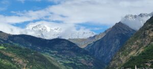
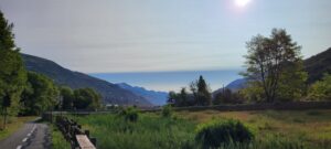
The descent into the barren above-tree-line valley was stunning

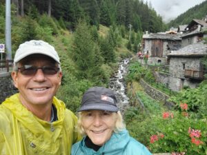
And once we dropped below the tree line, it just got more and more beautiful


We’ve met some fascinating people in the last couple days. The high Alps tour guide,  Lana, who knew these Alps well. The Swedish women walking a reverse Francigena. Our recent acquaintance, Ken, whom we’ve learned has done all of the great trails in the US (PCT, Appalachian, and the Continental Divide trail).  And others, all with remarkable hiking resumes. Then there’s us. We’re just glad to have the health and resources to enjoy this beautiful creation!

Enjoy your journey. It’s the one you’re best fitted for!

Day 10: Etroubles to Aosta

Today’s journey was 10 miles and 800′ of climbing. Totals are now, 103 miles hiked and 15,300′ climbed. Again, descent was the story today, with 2,900′ of descent. Two days ago, we were at 8,200′ and today we’re down at 1,970′. That’s a lot of downhill in 18 miles of walking.

When we woke up and looked out the window, we noticed two things.  First, our hotel was right on the trail (no getting lost for at least the first 100 yds)


And second, it snowed!


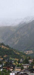
Which was much better viewed a couple miles down the trail

Our best guess is that the snow line was about 1,000′ higher than where we stayed last night. That would make it about 2,000′ BELOW the pass where we stayed 2 nights ago. Beautiful, but tough for hiking!

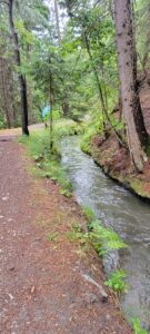
The trail was very nice, following a canal/stream through the mountains

Eventually, we made it to Aosta where we will spend 2 days before pushing on.  Aosta is a town of about 60,000 people … a bit of a shock for us after a week of villages of a couple hundred.

Enjoy!

Bill and Diane

Aosta to Chatillon; Alternate Ways

Today was 20 miles walked and only 1,000′ climbed. Our journey totals are now 123 miles walked and 16,300′ climbed.

The Aosta Valley is a long, fairly narrow valley. With a river, a highway and a train in the middle,  there’s not always a lot of spare room for trails. So, the principal Via Francigena route climbs the canyon walls, going up and down as necessary, to provide the trail space.

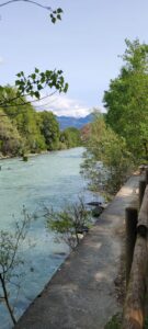
There is another way … Italy has a phenomenal bike path that follows up against that river for nearly the whole distance of our walk. It is slightly longer (maybe 3 more miles), but far less climbing (our 1,000′ vs 3,500′). And, it is beautiful! Don’t take our word for it …

And

Also,

We were quite content with this route! Tomorrow, there isn’t a straightforward bike path alternate,  so we’ll go back to the mountain goat trail.

Directions: Bill grew up hiking with a compass and topo maps.   You get a sense of where the trail should be and search for the markers or landmarks. And you make mistakes, but that’s part of the adventure!
As we started hiking trails in Europe, we had GPS  that we could use to cross reference our guidebook directions. Much better than compass and topo, but not foolproof (witness Bill’s many “lost directions”). The challenge was that the camino trails were never on Google maps, so you had to guess at the overlay.

As we looked at today’s bike path vs official walking path, Bill was concerned that our guidebook wouldn’t help. Net, the chance of getting off track was potentially high.  So,

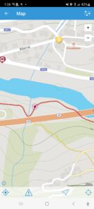
Bill found a Via Francigena App! That tool shows both the walking and the cycling routes, AND overlays your GPS position on the detailed map! (See RED dot on RED trail line)

It was great!  Mostly, no getting lost and no worrying about missing a trail marker  … just look at the map and if your RED dot is on the line, you’re good to go!

Okay, this is a good thing,  but Bill misses the aesthetics of physical maps and compasses. Also, he has NO excuse now if he gets lost!

Friends along the way: In the last several days, we’ve met several native English speakers walking the Via Francigena. And a feature of these walks is the ease with which you make friendships.  You’re walking for hours and conversation just flow.

Last night, six of us gathered for a great dinner.

There’s Mary and Stuart from London, and Victoria and Allen from Florida. Ken, from Vermont, another of the band, wasn’t able to make the meal.

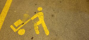
On leaving the dinner, we noted this very informative sign on the road

We think it means,  “this space reserved for hockey players”. What are your thoughts?

TTFN,

Bill and Diane

Day 12: Chatillon to Verres; the High Road

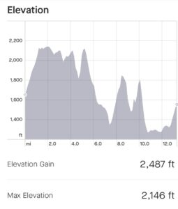
Today was 13 miles walked and 2,500′ climbed. The totals are 136 miles walked and 18,800′ climbed!

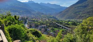
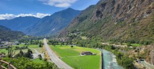
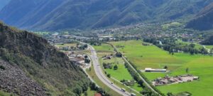
The High Road:  We continue to follow the Aosta Valley South and East, with the Dora River coursing through its middle.

Where yesterday we chose to take the path down in the valley, today we followed the hillside trail with its more expansive views and more vigorous climbing. Actually, we net-descended 300′ today, but climbed 2,500′ while also descending 2,800′!

And to pile on the “woe is us’s”, the ascents and descents were not that easy 5 – 10% grades,  these were the 20 – 30% grades with loose footing. Whine, whine.

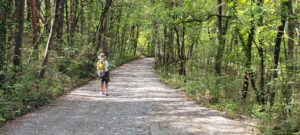
When the trail was level, it was beautiful

We met two hikers today, headed in the opposite direction. They are from Canada and started their journey in Rome.  They are headed to Santiago de Compostela. They are doing, in a single effort, what we are attempting to do over 5 separate Caminos. To each, their own path. We wished them well.

Enjoy your journey,

Bill and Diane