All posts by Bill-Di Pinbert

Riomaggiore Recovery

We have arrived!

For 4 days, we are not traveling, just being tourists! Time to unwind the 3 days of travel. We have arrived in Cinque Terre!

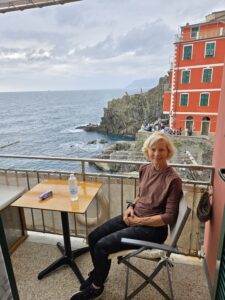
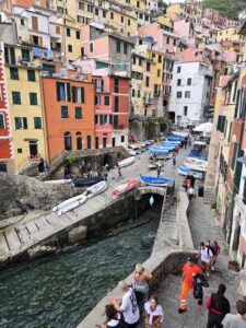
We have a place right on the little harbor of Riomaggiore. Not to bad!

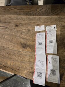
Getting here posed some of the usual challenges, 2 metro trains and 2 regional trains.

(The assorted tickets required)

We considered ourselves Milan metro experts based on our learnings the night before! So, this morning we purchased our tickets like pros and climbed aboard! On exiting through the metro turnstiles, Bill managed to get the handle of our luggage bag skewered by the turnstile crossbar, which has now returned to the closed/ locked position. “That’s a fine mess you’ve got us in, Stanley!” Fortunately, another metro rider exited, which released our bag! Thank you!

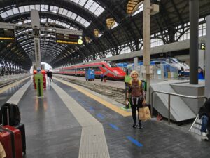
On to the Stazione Centrale Milano. It is an extraordinary work of architecture. The only photo we took was of the interior platform area.

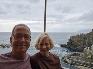
And so, to Riomaggiore! While the weather isn’t ideal (on the verge of raining), the views are amazing!

We’ll get by …

Now, to find a local store for some snacks and check out restaurant choices for dinner!

Ciao, for now!


In Transit …

Planes and trains, hotels and metros …

Getting started on this Camino is a Camino unto itself!

Monday:  Left home to Oak aiport and flight to LAX.

Tuesday: Flight from LAX to Madrid.

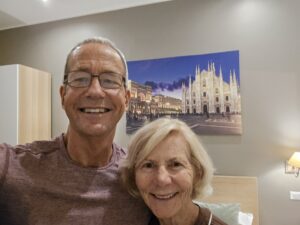
Wednesday:  Arrive in Madrid, connecting flight to Milan,  arriving late in the evening. Note that this is as close as we’re going to get to sightseeing in Milan … a photo of the Duomo that’s in our hotel room! No touristing tonight!

Thursday:  Early morning, catch the metro to Milan Central, then the train to Riomaggiore (Cinqueterre), our home for 4 nights! Yippee!

Monday: Train to Pavia.

Tuesday:  We start walking!


The Start of the Finish

10 years ago, the adventure began. Diane proposed we do this “walk” across Spain, the Camino Frances. 500 miles?  Sure, why not!

We had an amazing time and looked for the next one. Well, Spain is littered with these beautiful walks, so in 2016 we opted for the Camino del Norte, plus the Camino Finnesterre, for 600 more miles! Yes, beautiful!

We hadn’t exhausted our interest, so … There’s a Chemin de St Jacques that crosses half of France and leads to the beginning of the Camino Frances. In 2018, we walked that for 450 miles.

2019 brought a change. Friends had told us about a Via Francigena walk that goes from England southward to Rome. The final 250 miles (Lucca to Rome) sounded interesting, so we were off to Italy.

Then, the pandemic. Nothing to do but dream of what’s next. As Bill and Diane looked at the map of Europe, we saw that we were closing in on a “continental crossing”, from the Atlantic Ocean (west coat of Spain) to Rome! All we had to do is fill in the blanks!

2022 the pandemic abated and we were off again! We chose to finish crossing France (Geneva to Le Puy, France). That stretch would give us crossings of all of France, and 2 complete crossings of Spain. 300 miles of French hiking later, we had France “crossed”.

2023 took us to Geneva, with the intent to walk around the lake (of that name) and head south over the Alps to Italy. Another 300 miles and we were in Pavia, Italy!

So, that brings us to Pavia, Italy to fill in the the last “gap”. We are now traveling to Pavia, to make the walk to Lucca, our 2019 starting place.

What’s it all look like? See the map below (click on it to expand the view).

All we have to do now, is do that walk. Things have a way of not being as simple 🙃 as you think.

We’ll see.

And here we are with the first step, getting to the airport. Thanks to our daughter, Stephanie, we arrived safe and sound!

Arrivederci e benvenuti in Italia (well, almost)!


2023: Another Year, Another Camino: Heading South

There are literally hundreds of walks of various lengths in Europe. Some are regional trails, some span the width of an entire country, and a few span the width of the continent.

Probably two of the most famous trans-continental trails are: The Camino de Santiago (plus it’s feeder trails), and the Via Francigena.

The Camino de Santiago proper runs from St. Jean Pied de Port (France), to Santiago de Compostela (western Spain). There are multiple alternative routes and feeders all throughout Western Europe, totaling several thousands of miles … if you had a notion to walk them all.

The Via Francigena is a walk from Canterbury, England to Rome, Italy, about 1,200 miles.  Sigeric the Serious was the first (of note) to walk this route in 990 AD.  Seems he had something he wanted to pick up from the Pope.

Collectively, these two routes make an east-west and north-south cross of Europe, intersecting in Lausanne, Switzerland.  Our intent is to walk the whole of the Western and Southern portions of this crossing, roughly 1,800 miles.

It might be a tough read (double-click on map to enlarge it), but this year’s journey will be the section right after the RIGHT HAND TURN, from Lausanne, Switzerland to Pavia, Italy. (It’s in gray). We have walked the lower stretch of this Via Francigena route in 2019 (Lucca to Rome, Italy). Next year, God willing and the bodies working, we’ll finish this endeavor by hiking from Pavia to Lucca, Italy. We’ll see!

Thanks for being a part of our journey this year!

Geneva to Lausanne; Intersections and Olympics

Today is Day 0, no official miles or climbing. We simply took the train to get in position.🚄

We arrived 2 days ago into Geneva

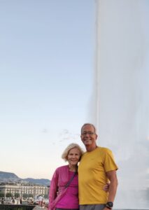
and quickly became tourists. Geneva is a truly beautiful city in so many respects. It’s only downside is that it’s expensive!

From Geneva, we took the train to Lausanne, the start of our journey and the intersection of the two great walks in Europe. At the town cathedral, we found the sign (small blue and yellow clam-shaped sign) marking the path of the Camino de Santiago (Chemin de St Jacques, in French), which leads to western Spain.

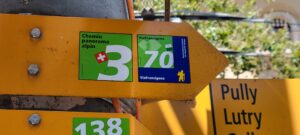
And down by the lakeshore, we found the markers indicating the path of the Via Francigena (route 70, in Switzerland), which leads to Rome.

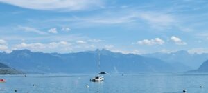
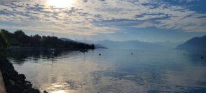
Also by the lakeshore, we caught a glimpse of where our path was taking us. Wow! Disney “E” ticket!

Once we identified our path for tomorrow, we resumed our tourist-y behavior. First up was the Olympics Museum

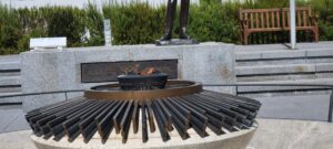
And we saw the source for next year’s Olympic torch (Paris, ’24)

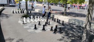
From there, we entertained the idea of playing chess with the locals,

but didn’t want to embarrass anyone (us?).

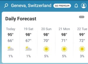
Tomorrow, we hike. We will want to start early as the temperatures for the next several days are expected to be high!

We’ll start early!  We look forward to walking this journey and hope you enjoy the read!

A demain!

Lausanne to Vevay; Lakes are Level, Right?

Day 1: 13 miles walked and 1,100′ climbed.

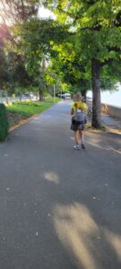
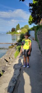
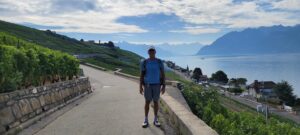
The general plan for the day was to follow the lakeshore East by Southeast for about 15 miles.  Following a lakeshore should mean a flat profile,  which would be a good way to get into the groove of hiking again. That was the plan, and it started well.

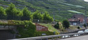
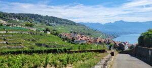
Now, this area is a favored wine region in Switzerland, with the grapes grown on steep hills.

In order to appreciate these beautiful vineyards, the trail makers took us up steep paths to the vineyards, then back down, then back up …

Okay, it really was beautiful, so why complain?  We suppose because if we just filled these pages with superlatives, it’d be boring after a while.

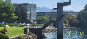
We arrived in Vevey and noted two things:  Vevay is the world headquarters of Nestle. Now, their office buildings are right on the lake with a beach! Not a bad way to spend your lunch …

The second thing of note is that Vevey was the retirement home of Charlie Chaplin.

Charlie started his career making movies in the Niles district of Fremont (before there was Hollywood! ). That’s Bill’s hometown in Northern California.

Enough for now.  A demain!

Day 2: Vevay to Aigle; Leaving Lake Geneva (Leman)

Today was 17 miles, with 1,000′ of climbing. Totals are 30 miles hiked and 2,100′ climbed.

Lake Leman (Geneva to Americans) is just beautiful!  It’s about 30% larger than Lake Tahoe and every bit as stunning!

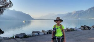
Our day began with a very quiet stroll along the lake,

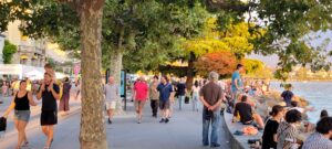
Which was not at all like the night before, where thousands of Swiss headed outdoors on a Saturday eve to enjoy the warmth and beauty of a lakeside stroll.

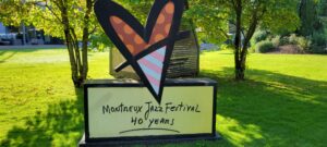
We made it way through Montreux

home of the world famous Montreux jazz festival!

Eventually, we made it to the southeastern-most part of the lake and had to say adieu to Lake Leman! Not before watching an amazing parachute acrobatics competition taking place. It was cool!

It was also distracting, as, by the time we noticed that our trail signs were taking us in the wrong direction, we had walked 1.5 miles out of our way! Now, to fix it, we could backtrack an additional 1.5 miles, or … “freelance”. Bill chose “freelance” and Diane patiently went along 🤔!

All we has to do is:  1) walk along a busy road for a while, 2) cross a muddy creek, 3) skirt a highway, 4) cross some train tracks inappropriately,  and 5) … pray!

Well, we made it!

We intersected with the formal path

And continued like nothing happened!

We also met another pilgrim (long distance hiker) named “Lupo”. An Italian,  he started his walk in Canterbury, England and was headed to Milan (home). A really nice guy,  he gave us some good insight on the trails from England and through France, should we get that notion.

It was also hot! For as green as Switzerland is, they don’t seem to care for tree-covered trails!  We started at 7 am to get some miles in before it got too hot. Maybe 6 am would have been a better idea.

Enough for now. It continues to be stunning here!

Aigle to St. Maurice, Transitions and Claims to Fame

Day 3; 12 miles walked and 1,500′ climbed. Our totals are now 42 miles walked and 3,600′ climbed.

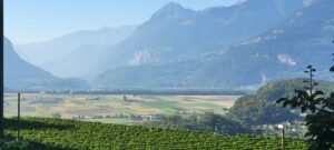
One of the amazing features of walks like these is to watch the countryside, the culture and the dining change little by little each day. So far,  geography is the most rapidly changing thing.  We started with lakefront walking,

then to glacial valley.

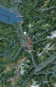
We’re now entering a long canyon which will take us to the base of our major climb this year:  the Col du Grand St. Bernard, a mountain pass about 8,200′ in elevation.  I  copied Strava’s 3D image of our hike to show a sense of the change.


Tomorrow and much of the next day will be canyon hiking, with the full-on climbing starting Thursday.

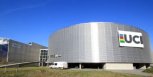
Claims to fame:  Geneva was famous as the headquarters of the United Nations and World Health Organization. Lausanne, the headquarters of the Olympics Federation. Vevey had Charlie Chaplin, Montreux  had the Jazz festival. Even last night’s stay,  Aigle, was the headquarters of the UCI ( world cycling regulatory body).

So, what about St. Maurice? Well, their claim to fame is Smurfs! You know, those little blue guys!

Seems St. Maurice holds a four month festival honoring them every year!  Though here, the call the little buggers, ‘Schtroumpfs’! Say that five times, fast!.

Enjoy your day. We are enjoying ours, with Schtroumpfs and all!

St Maurice to Martigny; Just Another Day on the Road

Day 4: Today was 11 miles and 1,000′ of climbing. Totals are 53 miles walked and 4,600′ climbed.

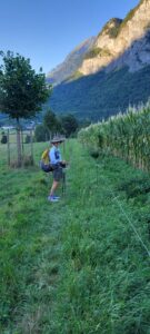
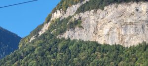
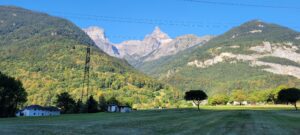
Okay, this is our fourth day on the trail in Switzerland. It’s just another day on the road … except the road looks like:

And like,

And …

And …

And …

It’s just crazy beautiful and we haven’t hit the mountains, yet. That starts tomorrow!

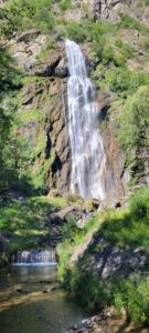
So, today we walked past a beautiful waterfall right along the trail.

Our guidebook noted that it is called,  “Pissevache”. The guidebook also provides an English translation of that name. I’ll help the reader!  “Vache” means “cow” in French. Now,  “Pisse”, well, it means pretty much the same in French as it does in English.  The reader can do the translation from here!

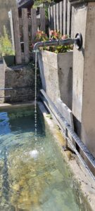
Water: These days have been rather hot. Drinking enough water while hiking is vital. Normally, we’ll carry 2 or 3 quarts each. That’s not needed here!  Every small village, park, church, city hall, etc has one of these:

These are continuously flowing water displays. Sometimes, they look like lions or fish or statues, but they are everywhere. In Spain, and also in France and Italy,  we never felt comfortable drinking this water. In Switzerland? This country has a reputation for precision … and the locals drink from these sources. That’s good enough for us! We haven’t lacked water at all on this journey!

Tomorrow is a climbing day so we’ll rest up tonight!

Until then,

Day 5: Martigny to Orsieres; The 3 Dangers of the Fire Swamp

Today was 15 miles hiked and 3,000′ of climbing. Totals are 68 miles walked and 7,600′ climbed.

Another beautiful day, with this day being a transition from valley walking to climbing, with lots of ups and downs.
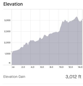
As we started the morning, it was clear that there was no where to go but up:
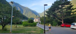
The guidebook had some interesting counsel about today … “many consider today’s stage the most difficult along the whole of the Via Francigena … “. Hmm.

So, what are the challenges? We’ll call them the 3 dangers of the fire swamp! While there are no rodents of unusual size,  these are the hazards:

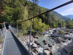
1. Narrow ledge, steep drop-off:  The guidebook describes it as hiking on a narrow ledge with a 20 meter drop-off to the river, below. At one point the trail builders provide a handrail drilled into the hillside for support. Bill tried to snap several photos of this section, but they all came out blurry. Go figure. Nonetheless, here’s Diane entering the area and Bill crossing the suspension bridge, having made it through to the other side.
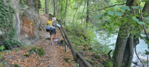
2. The slippery scramble section: For about a half of a mile, we traversed a moss-covered boulder field in the forest. There was literally no discernable trail, just YELLOW diamonds every 10′ or so directing you along. Absent those diamonds, it would have been daunting to attempt to end up at the correct point that the trail-proper resumed.
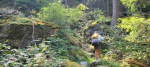
If you look carefully at the photo, above, you’ll see some of the directive diamonds. Again, it was difficult to capture the really tough sections because the “photographer” needed his hands to hold on.

3. The Rock Quarry Escape: After passing the first two hazards, you can be lulled into a sense that “you can handle anything!” Well, then you come to the major rockslide! The trail signs direct you into this “quarry”,
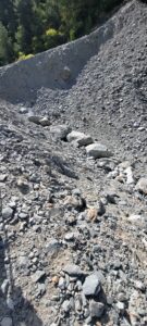
with no clear way out!  (Note that this slide are is much larger than appears in the photo). We scouted around and finally figured that if we got on the narrow ridge on the left, perhaps that might get us through. Clambering through boulders and scree, we made in onto the ridge and, sure enough, found trail signs just beyond the slide! Woohoo!

Now,  a 30 yr old would look at these challenges and say,  “what challenge?”. A 50 yr old might acknowledge the challenge but quickly say, “no big deal, I can do this!”. However, those of us on the far side of Social Security see the risks and also acknowledge our limits. Today, however, we were not at our limit (phew!).

By the way, the guidebook suggested taking a local train to skirt around these challenges. We considered it  … but not this time!

We’re less than 25 miles from the Grand St Bernard pass (8,200′), so we’ll have much more climbing ahead!

A bientot!