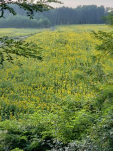
Today was 16 miles, bringing our total to 341 miles. We’ve walked about as far as our home in the SF area to Los Angeles.
The official distance for this stage was over 20 miles. There was a “variant route” that shaved off 3 miles. We took the decision to abandon both and follow the local two lane highway (thanks, Google maps) to bring it down to just under 16 miles. Why?
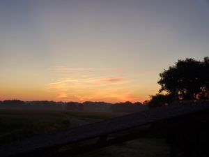
First, the hike. As soon as we left, we could see these three balloons in the distance. 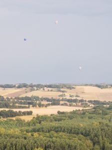
We were hiking in the direction of the balloons, but they descended shortly after the photo. It seems an unforecasted storm was coming in and they didn’t want to be in the wrong place! For us, the storm was a gift as it kept the day’s high temperatures down.
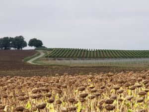
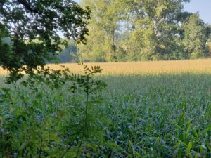
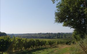
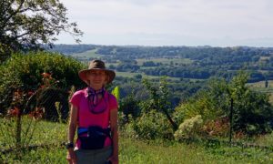
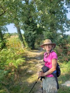
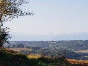
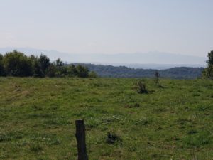
Over the last several days, we’ve described the hiking as rolling hills and farmland. To be clear, it is beautiful and enjoyable; but it is rolling hills and farmland!
About 5 days ago, Diane started having problems with shin splints, a common runner’s injury, but not something she has had in the past. So far, we haven’t been able to make it go away, and walking 12 – 20 miles a day doesn’t help.
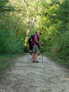
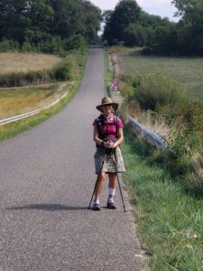
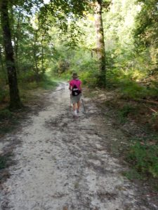
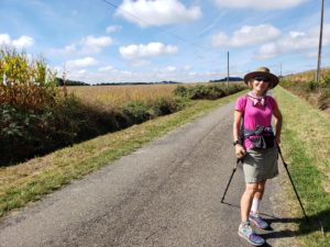
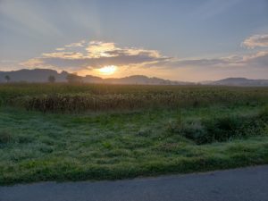
For that reason, we decided to do the shorter 17 mile route … then look for an even shorter way. We were able to bring it below 16 (barely), by spending 6 miles or so on a small highway, like this: 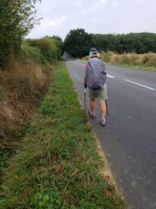
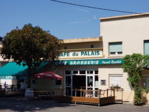
About 4 miles from the finish, we went through a very small town that had a bar open. We asked for ice and were able to ease some of Diane’s discomfort. Once at our B&B, we were able to get some more ice. Hopefully, we can get it under control. Otherwise, we may need to look at some transport options for Diane … at least for a little while!
